support@meisterdrucke.com  ·  0043 4257 29415

Deutsch English Italiano Español Français Nederlands Português Svenska Polski Dansk
Search by artist, work title or style – e.g. Monet, Starry Night, Impressionism, Hokusai wave, nude. Describe the scene – e.g. green meadow, abstract with lots of red, dark oil painting, standing nude next to a tree.

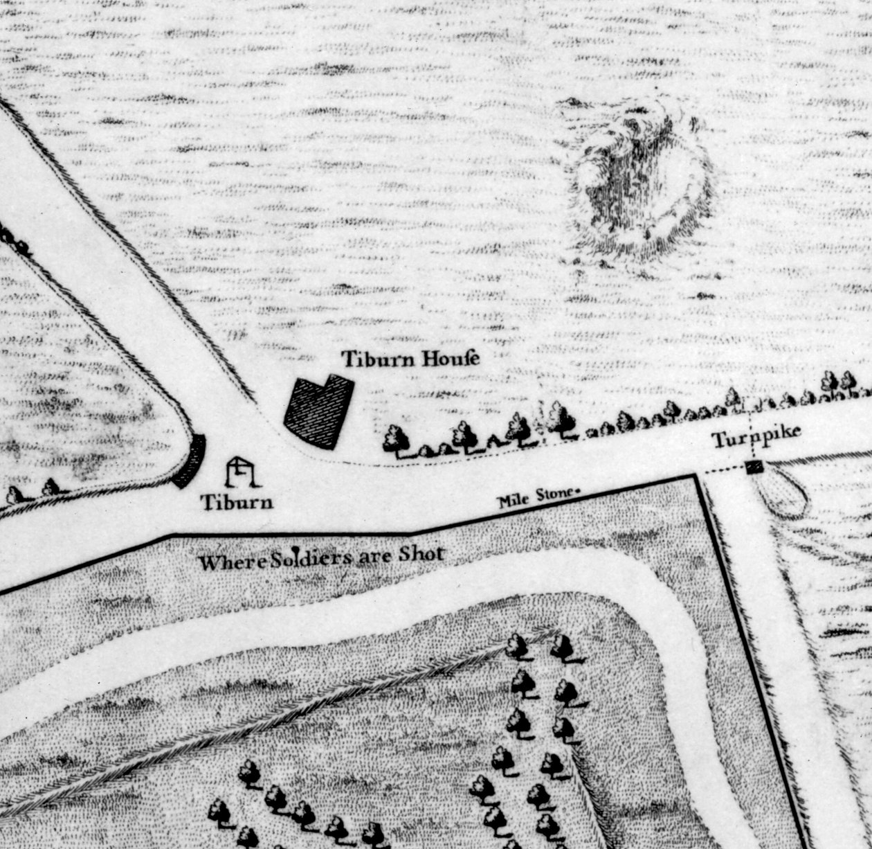
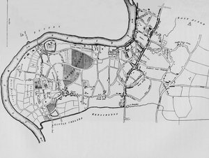
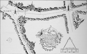
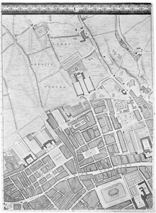
A Map of Tyburn, 1746 (detail of 438496) by John Rocque

A Map of Tyburn, 1746 (detail of 438496)

(A Map of Tyburn, 1746 (engraving) (detail of 438496))


John Rocque

€ 106.69
Tax-free
   Configure art print
1746  ·  engraving  ·  Image ID: 38235

Victorian Art  ·  Cartography

A Map of Tyburn, 1746 (detail of 438496) by John Rocque. Available as an art print on canvas, photo paper, watercolor board, natural paper, or Japanese paper.
village · tiburn house · road · london · city · outskirts · gallows · aerial view · plan · street · streets · england · english · britain · british · capital city · Georgian · Private Collection / Bridgeman Images
AR/3D   View in 3D / AR zu Favoriten hinzufügen   Add to favorites    Change wall color    View picture in a room
0 Reviews

Configure art print

Picture Frame

Medium & Stretcher

Glass & Passepartout

Miscellaneous & Extras

 Save / compare configuration
Preview Icon

Summary

Gemälde
Veredelung
Keilrahmen
Museumslizenz

€ 106.69
(inkl. 20% MwSt)
   Add to cart

Bildschärfe: PERFEKT

If you'd like us to adjust the brightness, colors, or crop the image, we're happy to do this for you at no extra cost. Just get in touch!

Similar artworks selected for you

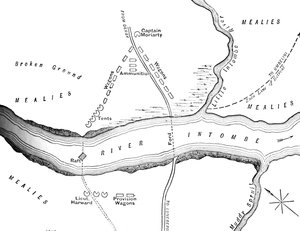
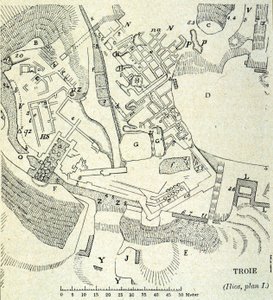
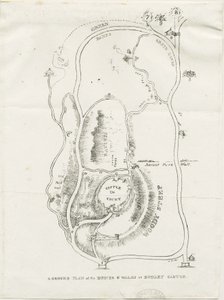
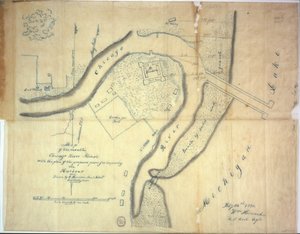
Layout of the San Francisco de la Espada Mission Tutbury Castle: Plan: Engraving (c.1832) Plan of the Defences at Rorke Map of Hyde Park, London The Field of Waterloo on the Morning of the Battle, Sunday, June 18, 1815, 1902 Norman London Ruins of an old fort in Tennessee, from an Atlas of the United States, 1824 Plan of Rhodes (Rodos) - in The Ruins of Babylon on the East Bank of the Euphrates A Map of the West End and Soho, London, 1746 Dudley - Mine-workings: lithograph Map of the city of Lutetia, Lutetia Parisiorum, today Paris, and its surroundings, made in 1882 Plan of the Disaster on the Intombe River March 12, 1879 A Map of Bermondsey, London Plan of Troy: Excavation of Heinrich Schliemann Plan of the Park at Norton Hall, Norton Priory, c.1750-60 Dudley Castle Map of the mouth of the Chicago River, Illinois with the plan of the proposed piers for improving the harbour, 1830 A map of Fulham in 1813 Plan of the Battle of Bunker Hill, Boston, Massachusetts, 1775 Plan of the Island of Love in Gatchina Park A Map of Marylebone, London, 1746 Thebes, Luxor City map of Naples with Capodimonte (detail) Plymouth Map from ’Red Books’, for ’Mogenhanger in Bedfordshire, a Seat of Godfrey Thornton Esq.’, 1792 Sketch-Map of the Movements from January 17-21, 1885, c1885 Map of Bishopsgate, City of London Plan of Paris Under Philippe Auguste
Show more similar artworks

More art prints by John Rocque

A Map of St Paul A Map of Old London Bridge, London, 1746 A Map of Bloomsbury and Holborn, London, 1746 A Map of the West End and Soho, London, 1746 A Map of the Royal Palace and Gardens of Kensington, London, 1736 A Map of The King A Map of Clerkenwell, City of London, 1746 A Map of Moorfields and Hoxton, London, 1746 A Map of Marylebone, London, 1746 A Map of St. James A Map of Covent Garden and Westminster, London, 1746 A Map of Mile End and Stepney Green, London, 1746 A Map of Limehouse and Rotherhithe, London, 1746 A Map of Mile End, London, 1746 A Map of Shoreditch and Whitechapel, London, 1746
Show more works by John Rocque

More motifs from the category Cartography

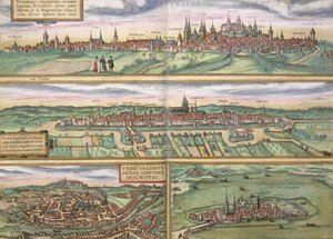
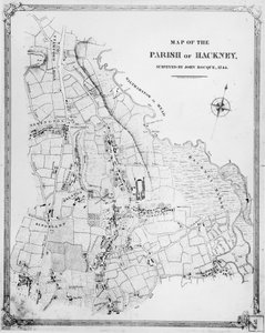
Map of Canaan, or Palestine, published by A. K. Johnstone Hull, detail from the map of the North and East Ridings of Yorkshire, engraved by Jodocus Hondius (1563-1612) from John Speed’s ’Theatre of the Empire of Great Britain’, published by John Sudbury and Georg Map of Wales, published c.1630 Mappa Mundi, c. 1290 Wyld’s Official Map of the Suez Maritime Canal, 1869 Map of Berlin and Cölln, 1688 Walliss Folded Map of the City of London and Westminster, 1799 Antiquae Urbis Perfecta Imago, Map of Rome, c. 1600 Map of Nuremberg, Ulm, and Salzburg, from Map of Cambridgeshire, published Amsterdam c.1647-48 Fol. 57v Map of Canada and Florida, from Map of Genoa and Florence, from Map of the Parish of Hackney, surveyed by John Rocque (c.1709-1762) 1745 Map of South West Point, Virginia, from ’Guerre de l’Amérique’, 1782 Map of New Belgium with a View of New Amsterdam, compiled by Nicolaes Visscher (1618-1709), c. 1651-55
View More from "Cartography"

A selection of our top sellers

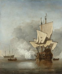
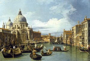
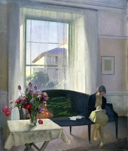
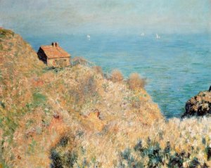
The Harbour at Sunset, Opus 236 (Saint-Tropez), 1892 The Great Wave off Kanagawa, c. 1830 Chalk Paths The Cannon Shot, c. 1680 The Entrance to the Grand Canal, Venice, ca 1730 Lady in the Garden Ball at the Moulin de la Galette Mori (Forest) The Quiet Room The Fisherman Coffee Garden at Lake Ammer Sower at Sunset The Equatorial Jungle, 1909 Off Connecticut, Newport, 1904 Evening at the Iris Field
Show more artworks


What our customers think about us


Frequently Asked Questions about Meisterdrucke


Personalizing your art print at Meisterdrucke is simple and intuitive: Choose a frame, set the image size, pick a printing medium, and add suitable glazing or a stretcher frame. We also offer additional customization options like mats, fillets, and spacers. If you have any questions, our customer service team is ready to help you create your perfect artwork.

At Meisterdrucke, you can visualize your configured artwork directly in your own room. Simply upload a photo of your space and see how the artwork looks in it. If you're visiting us on a mobile device — phone or tablet — our augmented reality feature brings the picture to life and projects it right into your room. A unique experience that combines art and technology.

Choosing the right medium is often a matter of personal taste. To give you a better idea, we've provided some images for each medium. We also offer a sample set of all paper variants, so you can decide not just visually but by touch as well. You can order the sample set free of charge — only shipping costs apply.

Don't worry! At Meisterdrucke, we don't just process orders mechanically. Every order is manually reviewed by our team. If we spot any inconsistencies or issues with your configuration, we'll get in touch with you right away. And of course, our friendly and patient support team is always here to help you with your configuration. We'll work with you by phone or email to adjust your image so the final result is exactly what you had in mind.


Still have questions?

Are you interested in an art print from our manufactory but still unsure? Do you need advice on choosing the medium or help with the order?

Our experts are happy to assist you.

+43 4257 29415
support@meisterdrucke.com

Mo-Do: 7:00 - 16:00 | Fr: 7:00 - 13:00

Still have questions?

Are you interested in an art print from our manufactory but still unsure? Do you need advice on choosing the medium or help with the order?

Our experts are happy to assist you.

+43 4257 29415
support@meisterdrucke.com
Mo-Do: 7:00 - 16:00 | Fr: 7:00 - 13:00


Meisterdrucke

   Kärntner Strasse 46
        9586 Finkenstein am Faaker See
        Austria
        +43 4257 29415
        support@meisterdrucke.com
Other languages

                   
Erfahrungen & Bewertungen zu Meisterdrucke
Post.at DHL Express Quehenberger Cargoboard
Kaiser Franz Joseph

Meisterdrucke
Kärntner Strasse 46
9586 Finkenstein am Faaker See · Austria
+43 4257 29415 · support@meisterdrucke.com
Post.at DHL Express Quehenberger Cargoboard


(c) 2026 meisterdrucke.uk