support@meisterdrucke.com  ·  0043 4257 29415

Deutsch English Italiano Español Français Nederlands Português Svenska Polski Dansk
Search by artist, work title or style – e.g. Monet, Starry Night, Impressionism, Hokusai wave, nude. Describe the scene – e.g. green meadow, abstract with lots of red, dark oil painting, standing nude next to a tree.

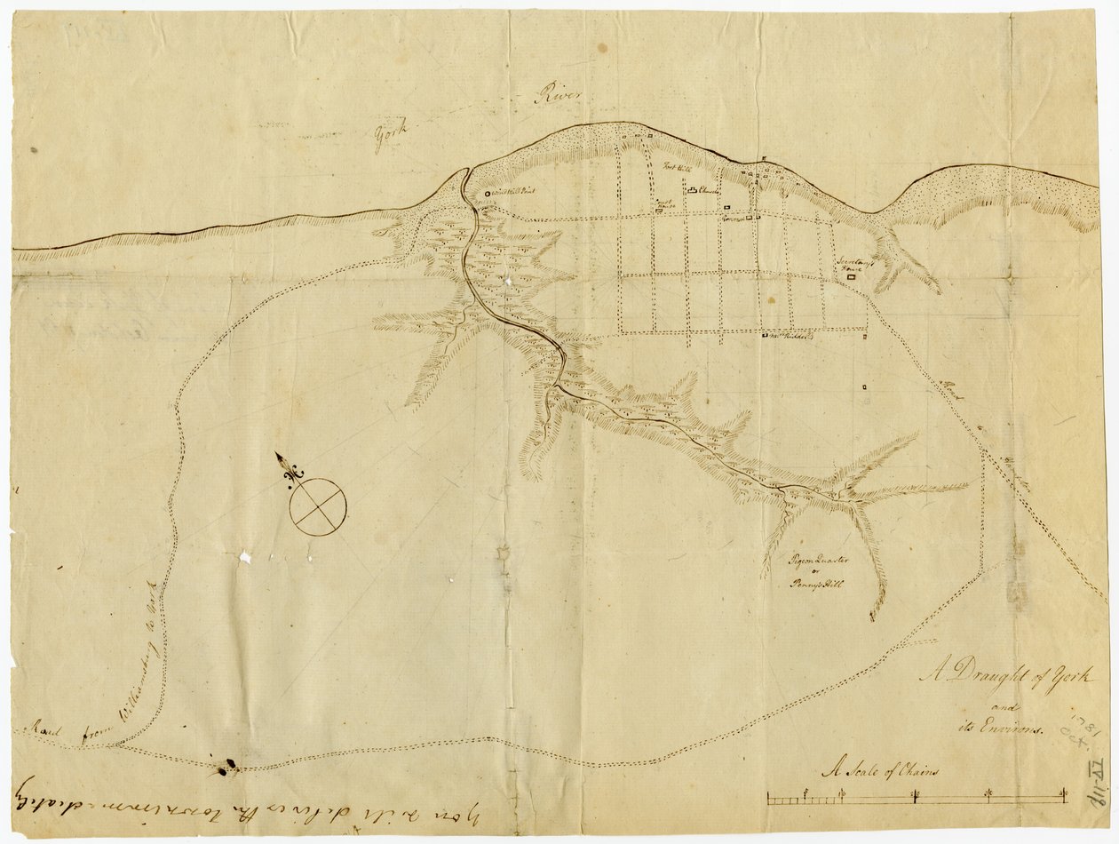
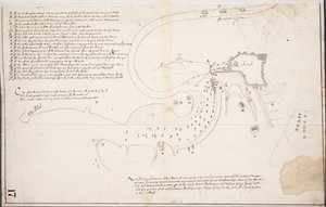
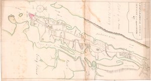
Map of Yorktown, Virginia, October 1781 by British School

Map of Yorktown, Virginia, October 1781

(Map of Yorktown, Virginia, October 1781 )


British School

€ 124.41
Tax-free
   Configure art print
1781  ·  lithograph  ·  Image ID: 475864

Cultural Circles  ·  Cartography

Map of Yorktown, Virginia, October 1781 by British School. Available as an art print on canvas, photo paper, watercolor board, natural paper, or Japanese paper.
united states of america · mapping · cartography · maps · c18th · the war for independence · american revolution · Battle of Yorktown · drawing · sketch · Gilder Lehrman Collection, New York, USA / Bridgeman Images
AR/3D   View in 3D / AR zu Favoriten hinzufügen   Add to favorites    Change wall color    View picture in a room
0 Reviews

Configure art print

Picture Frame

Medium & Stretcher

Glass & Passepartout

Miscellaneous & Extras

 Save / compare configuration
Preview Icon

Summary

Gemälde
Veredelung
Keilrahmen
Museumslizenz

€ 124.41
(inkl. 20% MwSt)
   Add to cart

Bildschärfe: PERFEKT

If you'd like us to adjust the brightness, colors, or crop the image, we're happy to do this for you at no extra cost. Just get in touch!

Similar artworks selected for you

A Topographical Sketch of New York Map of the mouth of the Chicago River, Illinois with the plan of the proposed piers for improving the harbour Battle of Camden, Augt. 16 Section of the Northern Course of the Canal from the Tide in the Elk River at Frenchtown to the Forked [Oak] in Mr. Rudulph Plan of the Disposition of British Troops, with Fortifications North of Fort Knipehausen to Fort Independence A Rough Draft of Dublin Bay Battle of Green Spring, Map of the Land on the Left Bank of the James River Opposite Jamestown in Virginia Where the Battle of July 6 Draft for the Park Layout at the Future Royal Residence in Christiania The map is hand-drawn (ca 1780) and shows Telemark Plan of Paulus Chart of Cork Harbour, Ireland Vicinity of Harpers Ferry A topographical map of the Elizabeth Furnace iron property, Augusta Co., Va., containing about 6250 acres, Aug. 1867 Plan of the Battle of Sinope George Washington Sketch of the Fortress of Ghuznee. Taken by Storm on the 23rd July 1839 Map of the Ohio River from Fort Pitt A survey of the Kings lordship or manor of East Greenwich Confederate Civil War map of the Army of Mississippi camp at Corinth, Mississippi, May 1862 Map of Willesden, London (litho) A Plan of the Harbour Near Singapore by Captain D.L. Ross, FRS Marine Surveyor General Captain Snow Map of Zeelandia and Surroundings, Formosa Plan of town and fortress of Gariah Map of Christiania and Akershus Plan of the Battle of Sinope Map of Hoogly River Chart of Kinsale
Show more similar artworks

More art prints by British School

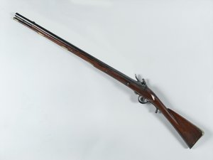
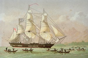
Ireland - West Coast, Glengariff Harbour. Surveyed by Qualifying Class, Navigation School Sept - Oct 1912. Portrait of a Gentleman Siberian blue robin, Larvivora cyane A Royal Yacht with a Fleet Getting Under Way in a Breeze Mrs. Edmund Nelson A Plan of the City of New York by Ratzer Althea Cartwright The Royal Escort (George II) in 1742 - in Portrait of King Henry IV of England, Holding the Royal Sceptre, End of the 16th to Beginning of the 17th Century Industrial Revolution: View of the Railway Viaduct Crossing the Sankey Valley. Plate from Captain James Cook Lands in Australia Industrial Revolution: Internal View of the Farm Machinery Pavilion at the Crystal Palace, Built by Joseph Paxton for the 1851 World Exposition in London Design for an Aesthetic interior, from Ferguson flintlock breech-loading rifle, circa 1780 Missionary ship the
Show more works by British School

More motifs from the category Cartography

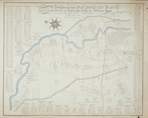
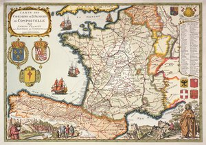
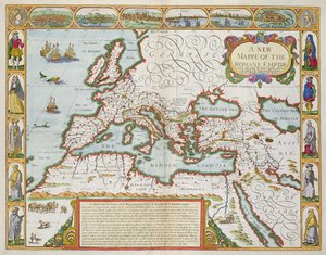
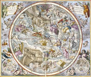
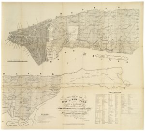
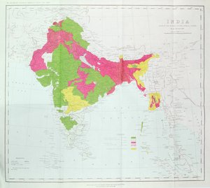
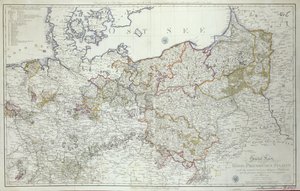
Map of Canada, from Map of London, showing the Bear Baiting Garden in Southwark Map of England, Britannia Antiqua, from “The Atlas of Ancient Geography” by Samuel Butler, published in London, c. 1829 A New and Correct Map of Hackney Marsh, 1745 Reproduction of Map of Routes of St. James of Compostela, originally engraved by D. Serveaux 1648 A New Map of the Roman Empire, from "A Prospect of the Most Famous Parts of the World", published by Bassett and Chiswell, 1676 Confederate Civil War map of the Army of Mississippi camp at Corinth, Mississippi, May 1862 Map of the Christian Constellations as Depicted by Julius Schiller, from The Celestial Atlas, or The Harmony of the Universe, Atlas coelestis seu harmonia macrocosmica, published by Joannes Janssonius, Amsterdam This Map of the City of New York and Island of Manhattan as Laid Out by the Commissioners Appointed by the Legislature, 1853 Map of Vienna (detail) Map of the Vendée depicting the area of the Vendée Revolt (1793-96) in March 1793, c. 1815 Map of the Indian Peninsula Map of India, showing the progress of the Imperial Surveys, published under the direction of Colonel H.R. Thuillier, R.E., Surveyor General of India, 1888 The Sea of Galilee, from an Atlas of the World in 33 Maps, Venice, 1st September 1553 Map of the Prussian States in 1799
View More from "Cartography"

A selection of our top sellers

Peasant Wedding The Lady of Shalott Summer Evening on the Skagen Southern Beach with Anna Ancher and Marie Krøyer Poppy Field, 1873 The Bookworm, c. 1850 Lowlands Neptune Ophelia, 1894 Daniel in the Lions The Harvest Red Snapper and Halfbeak, 1830-1844 Vampire Reflection in the Surface of the Water, Misaka, Kai Province from the series Thirty-Six Views of Mt Fuji, 1830-1833 Red Vineyard at Arles Manuscript 69 f. 48r, Birth of Jesus, from the Book of Hours of the "Master of Jacques de Besançon"
Show more artworks


What our customers think about us


Frequently Asked Questions about Meisterdrucke


Personalizing your art print at Meisterdrucke is simple and intuitive: Choose a frame, set the image size, pick a printing medium, and add suitable glazing or a stretcher frame. We also offer additional customization options like mats, fillets, and spacers. If you have any questions, our customer service team is ready to help you create your perfect artwork.

At Meisterdrucke, you can visualize your configured artwork directly in your own room. Simply upload a photo of your space and see how the artwork looks in it. If you're visiting us on a mobile device — phone or tablet — our augmented reality feature brings the picture to life and projects it right into your room. A unique experience that combines art and technology.

Choosing the right medium is often a matter of personal taste. To give you a better idea, we've provided some images for each medium. We also offer a sample set of all paper variants, so you can decide not just visually but by touch as well. You can order the sample set free of charge — only shipping costs apply.

Don't worry! At Meisterdrucke, we don't just process orders mechanically. Every order is manually reviewed by our team. If we spot any inconsistencies or issues with your configuration, we'll get in touch with you right away. And of course, our friendly and patient support team is always here to help you with your configuration. We'll work with you by phone or email to adjust your image so the final result is exactly what you had in mind.


Still have questions?

Are you interested in an art print from our manufactory but still unsure? Do you need advice on choosing the medium or help with the order?

Our experts are happy to assist you.

+43 4257 29415
support@meisterdrucke.com

Mo-Do: 7:00 - 16:00 | Fr: 7:00 - 13:00

Still have questions?

Are you interested in an art print from our manufactory but still unsure? Do you need advice on choosing the medium or help with the order?

Our experts are happy to assist you.

+43 4257 29415
support@meisterdrucke.com
Mo-Do: 7:00 - 16:00 | Fr: 7:00 - 13:00


Meisterdrucke

   Kärntner Strasse 46
        9586 Finkenstein am Faaker See
        Austria
        +43 4257 29415
        support@meisterdrucke.com
Other languages

                   
Erfahrungen & Bewertungen zu Meisterdrucke
Post.at DHL Express Quehenberger Cargoboard
Kaiser Franz Joseph

Meisterdrucke
Kärntner Strasse 46
9586 Finkenstein am Faaker See · Austria
+43 4257 29415 · support@meisterdrucke.com
Post.at DHL Express Quehenberger Cargoboard


(c) 2026 meisterdrucke.uk