support@meisterdrucke.com  ·  0043 4257 29415

Deutsch English Italiano Español Français Nederlands Português Svenska Polski Dansk
Search by artist, work title or style – e.g. Monet, Starry Night, Impressionism, Hokusai wave, nude. Describe the scene – e.g. green meadow, abstract with lots of red, dark oil painting, standing nude next to a tree.

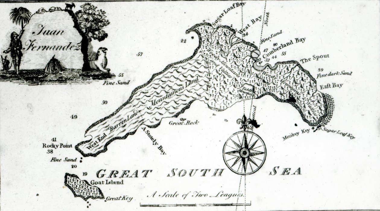
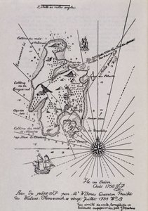
Map of South Pacific Island by English School

Map of South Pacific Island

(Map of South Pacific Island, 1800 )


English School

€ 115.77
Tax-free
   Configure art print
18th century  ·  lithograph  ·  Image ID: 113890

Cultural Circles  ·  Cartography

Map of South Pacific Island by English School. Available as an art print on canvas, photo paper, watercolor board, natural paper, or Japanese paper.
great south sea · south pacfic · goat island · compass · bays · regions · cartography · land · aerial view · birds eye view · Private Collection / Bridgeman Images
Other color versions of this image  
AR/3D   View in 3D / AR zu Favoriten hinzufügen   Add to favorites    Change wall color    View picture in a room
0 Reviews

Configure art print

Picture Frame

Medium & Stretcher

Glass & Passepartout

Miscellaneous & Extras

 Save / compare configuration
Preview Icon

Summary

Gemälde
Veredelung
Keilrahmen
Museumslizenz

€ 115.77
(inkl. 20% MwSt)
   Add to cart

Bildschärfe: PERFEKT

If you'd like us to adjust the brightness, colors, or crop the image, we're happy to do this for you at no extra cost. Just get in touch!

Similar artworks selected for you

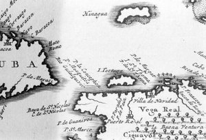
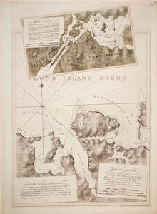
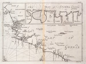
A Plan of Juan Fernandez Island in the South Sea, c.1750 A Plan of the City and Country Around Algiers Easter Island, from Travel Atlas by James Cook Map No. 2 Showing the Route of the Armada Fleet, engraved by Augustine Ryther, 1588 Map showing location of the Houyhnhnms Land from first edition of Gulliver Straits of Magellan and Le Maire, South American Pacific Coast Map No. 9 showing the route of the Armada fleet, engraved by Augustine Ryther, 1588 Map No.10 showing the route of the Armada fleet, engraved by Augustine Ryther Map No. 6 showing the route of the Armada fleet, engraved by Augustine Ryther, 1588 Gulf of Venice Plan of Rhodes (Rodos) - in The Harbour of Fowey, Cornwall Plan Showing the Strait of Constantinople (now the Strait of Bosphorus) - in Map of Virginia, illustration from Cassell Map of an Island in the Treasure (Pirates?) Map of Treasure Island, from Treasure Island by Robert Louis Stevenson, published 1883 Map showing location of Brobdingnag from first edition of Gulliver Bali Island (Indonesia) Connecticut, illustration from Cassell The Plantation of Ulster Map No.7 Showing the Route of the Armada Fleet, Engraved by Augustine Ryther, 1588 Turtle Island and Santo Domingo from a 17th century map by Pierre Vandier Ipswich Bay and Cape Ann Connecticut Map of Laputa, Balnibari, Luggnagg, Glubbdubdrib and Japan, illustration from the first edition of Chart of Oyster Bay and Huntington Bay, Long Island Sound Chart of Sierra Leone, Africa Map of the Strait of Magellan, plate from Oliver van Noort
Show more similar artworks

More art prints by English School

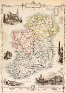
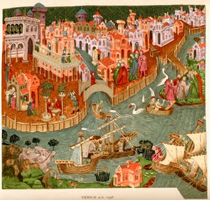
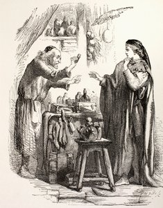
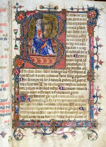
Church and Cottage with Lighted Windows Portrait of a bodybuilder, c. 1898 The Portrait of King Richard III Kidbrooke Park, Kent, formerly attributed to George Lambert (1700-65) c.1740-50 Portrait of the Greek philosopher Socrates (469-399 BC) - From the series “Leaders of Men” - Chromolithography - English School, 20th century Map of Europe in 1910 Map of Ireland from ’The History of Ireland’ by Thomas Wright, published c.1854 Poster advertising ‘A Midsummer Night Venice, 1338, after a manuscript in the Bodleian Library, from Detailed Map of Gallipoli Peninsula and the Dardanelles, Turkey, 1915, from Romeo buys poison from the apothecary, illustration from Romeo and Juliet, from "The Illustrated Library Shakespeare", published in London 1890 Winston Churchill on horseback in Bangalore, India in 1897, from ’A Roving Commission by Winston S. Churchill’, published by Scribner’s, 1930 Ms 26 fol. 7r. Psalm 1, David harping, from the Ramsey Abbey Psalter, c. 1380 Ever-flowering Rose (Rosa semperflorens), plate 284 from William Curtis
Show more works by English School

More motifs from the category Cartography

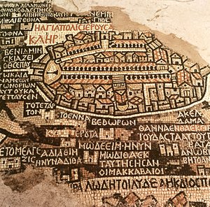
Map of the Siege of St. Jean d Map of Africa, published in 1700, Paris Map of Spain and Portugal showing the political divisions in the country at the death of Alfonso III, King of Leon, from Map of the Southeastern Part of North America, 1721 Map from Hull, detail from the map of the North and East Ridings of Yorkshire, engraved by Jodocus Hondius (1563-1612) from John Speed’s ’Theatre of the Empire of Great Britain’, published by John Sudbury and Georg The City of Jerusalem and the surrounding area, detail from the Madaba mosaic map, Byzantine, 6th century Map of Berlin, published by Carl Glück Verlag, Berlin, 1860 Map of East London, plates 20-21, from ’Cary’s Actual Survey of Middlesex’, 1786 Loggan Map of North and South America, from the Map showing the principal stars which are visible in Great Britain, Plate XXIX, from Map of Spain and Portugal, 1731 Map of the United States, 1816 An Astronomer, detail from a map of the planets, from ‘A Celestial Atlas, or The Harmony of the Universe’ (Atlas coelestis seu harmonia macrocosmica), published by Joannes Janssonius, Amsterdam, 1660-61
View More from "Cartography"

A selection of our top sellers

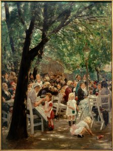
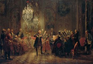
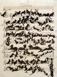
Munich Beer Garden Winter, 1573 Boy with a Crow Flute Concert with Frederick the Great in Sanssouci, 1850-1852 The Shield of Achilles, after the description in Homer The Symphony of the Cat, drawing by Moritz von Schwind of 1868. Staatliche Kunsthalle Karlsruhe. Cupid as Victor P. S. Krøyer The sleeping Jesus, or Madonna holding the sleeping Child, accompanied by three angels, 1532 Spring frost Murnau, Burggraben Street Morning in a Pine Forest Fishermen at Sea In Bed: The Kiss, 1892 The Goldfish
Show more artworks


What our customers think about us


Frequently Asked Questions about Meisterdrucke


Personalizing your art print at Meisterdrucke is simple and intuitive: Choose a frame, set the image size, pick a printing medium, and add suitable glazing or a stretcher frame. We also offer additional customization options like mats, fillets, and spacers. If you have any questions, our customer service team is ready to help you create your perfect artwork.

At Meisterdrucke, you can visualize your configured artwork directly in your own room. Simply upload a photo of your space and see how the artwork looks in it. If you're visiting us on a mobile device — phone or tablet — our augmented reality feature brings the picture to life and projects it right into your room. A unique experience that combines art and technology.

Choosing the right medium is often a matter of personal taste. To give you a better idea, we've provided some images for each medium. We also offer a sample set of all paper variants, so you can decide not just visually but by touch as well. You can order the sample set free of charge — only shipping costs apply.

Don't worry! At Meisterdrucke, we don't just process orders mechanically. Every order is manually reviewed by our team. If we spot any inconsistencies or issues with your configuration, we'll get in touch with you right away. And of course, our friendly and patient support team is always here to help you with your configuration. We'll work with you by phone or email to adjust your image so the final result is exactly what you had in mind.


Still have questions?

Are you interested in an art print from our manufactory but still unsure? Do you need advice on choosing the medium or help with the order?

Our experts are happy to assist you.

+43 4257 29415
support@meisterdrucke.com

Mo-Do: 7:00 - 16:00 | Fr: 7:00 - 13:00

Still have questions?

Are you interested in an art print from our manufactory but still unsure? Do you need advice on choosing the medium or help with the order?

Our experts are happy to assist you.

+43 4257 29415
support@meisterdrucke.com
Mo-Do: 7:00 - 16:00 | Fr: 7:00 - 13:00


Meisterdrucke

   Kärntner Strasse 46
        9586 Finkenstein am Faaker See
        Austria
        +43 4257 29415
        support@meisterdrucke.com
Other languages

                   
Erfahrungen & Bewertungen zu Meisterdrucke
Post.at DHL Express Quehenberger Cargoboard
Kaiser Franz Joseph

Meisterdrucke
Kärntner Strasse 46
9586 Finkenstein am Faaker See · Austria
+43 4257 29415 · support@meisterdrucke.com
Post.at DHL Express Quehenberger Cargoboard


(c) 2026 meisterdrucke.uk