support@meisterdrucke.com  ·  0043 4257 29415

Deutsch English Italiano Español Français Nederlands Português Svenska Polski Dansk
Search by artist, work title or style – e.g. Monet, Starry Night, Impressionism, Hokusai wave, nude. Describe the scene – e.g. green meadow, abstract with lots of red, dark oil painting, standing nude next to a tree.

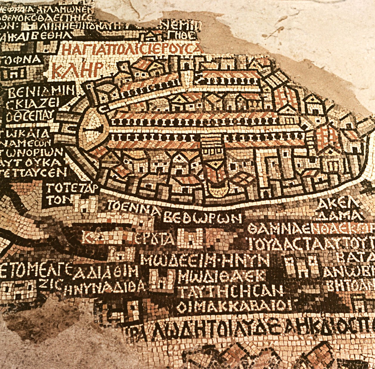
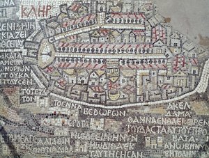
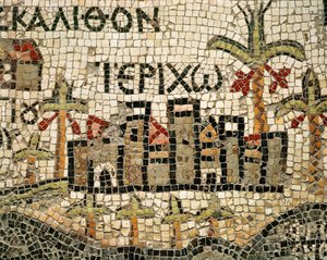
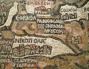
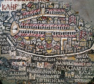
The City of Jerusalem and the surrounding area, detail from the Madaba mosaic map, Byzantine, 6th century by Byzantine School

The City of Jerusalem and the surrounding area, detail from the Madaba mosaic map, Byzantine, 6th century

(The City of Jerusalem and the surrounding area, detail from the Madaba mosaic map, Byzantine, 6th century (mosaic))


Byzantine School

€ 104.16
Tax-free
   Configure art print
Undated  ·  mosaic  ·  Image ID: 414626

Cultural Circles  ·  Cartography

The City of Jerusalem and the surrounding area, detail from the Madaba mosaic map, Byzantine, 6th century by Byzantine School. Available as an art print on canvas, photo paper, watercolor board, natural paper, or Japanese paper.
cartography · town plan · greek · discovered in 1884 · floor · pavement · medeba · madaba · inscription · early christian · jordan · Church of Saint Gaorge, Ma'daba, Jordan / Bridgeman Images
Other color versions of this image  
AR/3D   View in 3D / AR zu Favoriten hinzufügen   Add to favorites    Change wall color    View picture in a room
0 Reviews

Configure art print

Picture Frame

Medium & Stretcher

Glass & Passepartout

Miscellaneous & Extras

 Save / compare configuration
Preview Icon

Summary

Gemälde
Veredelung
Keilrahmen
Museumslizenz

€ 104.16
(inkl. 20% MwSt)
   Add to cart

Bildschärfe: PERFEKT

If you'd like us to adjust the brightness, colors, or crop the image, we're happy to do this for you at no extra cost. Just get in touch!

Similar artworks selected for you

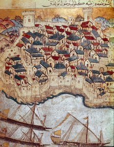
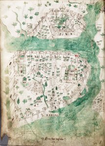
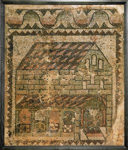
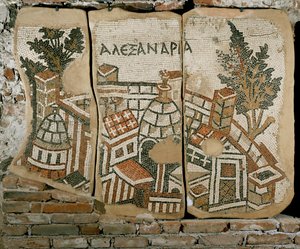
Byzantine art: oldest map of Palestine. Detail representing Jerusalem. Mosaic of the 6th century. Madaba, Church of St. George The Madaba map, a mosaic on the floor of St. George Detail (Byzantine mosaic depicting city of Jerusalem) Jerusalem Temple Mosaic, Jerusalem, Israel Detail of map depicting the Northern Negev to the Mediterranean Sea and the City of Gaza, Madaba, Jordan (mosaic) Jericho and Its Surroundings (detail) The Zared River on the Madaba Map Cotton Vespasian A. XIII, f.36v: Map of Constantinople, c.1450 City of Rome, Map Plate, Detail from Civitates Orbis Terrarum, Cities of World, by Georg Braun and Franz Hogenberg (Detail) Map of Jericho Plan of Rome Byzantine Art: Oldest Map of Palestine. Detail Depicting the River Jordan and Its Mouth on the Dead Sea. Mosaic of the 6th Century. Madaba, Church of St. George Byzantine art: oldest map of Palestine. Detail depicting the city of Bethlehem Map of Pisa Mosaic from the Floor of the Church of St Nilus in Mamshit, Negev Desert, Israel, 5th Century AD Plan of Constantinople View of Rome Map of Algiers - Algeria (engraving) Bethlehem, detail from a map of Jericho Greek Inscription from the Baptistery of an Early Byzantine Church in Shiloh, West Bank, 380-420 AD (mosaic) Byzantine art: oldest map of Palestine. Detail representing the city of Jericho Mosaic found in the church grotto View of Jerusalem (detail) Ottoman Empire: representation of a fortified city on the bank of the Danube conquered by Soliman I during his march on Budapest and Vienna. 16th century miniature. Topkapi Sarayi Istanbul A Chart of Constantinople Christian Church. Mosaic The city of Alexandria in Egypt
Show more similar artworks

More art prints by Byzantine School

Christ Pantocrator Emperor Justinian I (483-565), c. 547 AD (detail of 83451) Emperor Justinian I and his retinue of officials, guards and clergy, c. 547 AD Empress Theodora with her court of two ministers and seven women, detail of Theodora, c.547 AD Healing of the Paralytic, Church of Sant Greek Fire, Fol. 34v from the Madrid Skylitzes Crux gemmata Empress Theodora with her court of two ministers and seven women, c. 547 AD The Parable of the Good Shepherd Separating the Sheep from the Goats, Scenes from the Life of Christ Emperor Justinian I (483-565), c.547 AD (detail of 140283) Jesus Healing a Leper The Forty Martyrs of Sebaste Byzantine Art: Binding of a missal decorated with the depiction of Saint Michael the Archangel - gold leaves and enamels The Paralytic of Capharnaum is Lowered from the Roof, Scenes from the Life of Christ Byzantine Art:
Show more works by Byzantine School

More motifs from the category Cartography

Map of the Battle of Wagram, published by William Blackwood and Sons, Edinburgh and London, 1848 Map of France showing plans to divide departments, 1789 Map of Berlin, printed by C.L. Keller, Berlin, 1890 Map of Armenia, Colchis, Iberia and Albania, from A General Map, from The Battle of Jemmapes, 6th November 1792 Map of the Northern Sky with representations of the constellations, c.1515 The Polar Aurora, from a Map of Yorkshire, engraved by William Web, published 1645 Map Depicting North Africa, from an Atlas by Ptolemy, 1st Half of the 16th Century Map of the World, Based on Descriptions and Co-ordinates Given in Map of England, Britannia Antiqua, from “The Atlas of Ancient Geography” by Samuel Butler, published in London, c. 1829 Map of India, published under the direction of Colonel H.R. Thuillier, Surveyor General of India Map of Roman Kent, England, from “A Short History of the English People” by J. R. Green, published 1893 Map of Epirus for “Andromache” by Jean Racine, from Volume I of “Research on the Costumes and Theatre of All Nations”, 1802
View More from "Cartography"

A selection of our top sellers

The Tropics, 1910 Beef: diagram depicting the different cuts of meat The Milkmaid Path in the Wheat at Pourville, 1882 Antibes, The Fort, 1888 Intersecting Lines, 1923 The Blue Grotto on Capri Water Lilies, 1916 Agnus Dei, c. 1635-40 Profile Portrait of a Young Woman Dog Vase of Flowers Cotopaxi Cliff Walk at Pourville, 1882 Munich Beer Garden
Show more artworks


What our customers think about us


Frequently Asked Questions about Meisterdrucke


Personalizing your art print at Meisterdrucke is simple and intuitive: Choose a frame, set the image size, pick a printing medium, and add suitable glazing or a stretcher frame. We also offer additional customization options like mats, fillets, and spacers. If you have any questions, our customer service team is ready to help you create your perfect artwork.

At Meisterdrucke, you can visualize your configured artwork directly in your own room. Simply upload a photo of your space and see how the artwork looks in it. If you're visiting us on a mobile device — phone or tablet — our augmented reality feature brings the picture to life and projects it right into your room. A unique experience that combines art and technology.

Choosing the right medium is often a matter of personal taste. To give you a better idea, we've provided some images for each medium. We also offer a sample set of all paper variants, so you can decide not just visually but by touch as well. You can order the sample set free of charge — only shipping costs apply.

Don't worry! At Meisterdrucke, we don't just process orders mechanically. Every order is manually reviewed by our team. If we spot any inconsistencies or issues with your configuration, we'll get in touch with you right away. And of course, our friendly and patient support team is always here to help you with your configuration. We'll work with you by phone or email to adjust your image so the final result is exactly what you had in mind.


Still have questions?

Are you interested in an art print from our manufactory but still unsure? Do you need advice on choosing the medium or help with the order?

Our experts are happy to assist you.

+43 4257 29415
support@meisterdrucke.com

Mo-Do: 7:00 - 16:00 | Fr: 7:00 - 13:00

Still have questions?

Are you interested in an art print from our manufactory but still unsure? Do you need advice on choosing the medium or help with the order?

Our experts are happy to assist you.

+43 4257 29415
support@meisterdrucke.com
Mo-Do: 7:00 - 16:00 | Fr: 7:00 - 13:00


Meisterdrucke

   Kärntner Strasse 46
        9586 Finkenstein am Faaker See
        Austria
        +43 4257 29415
        support@meisterdrucke.com
Other languages

                   
Erfahrungen & Bewertungen zu Meisterdrucke
Post.at DHL Express Quehenberger Cargoboard
Kaiser Franz Joseph

Meisterdrucke
Kärntner Strasse 46
9586 Finkenstein am Faaker See · Austria
+43 4257 29415 · support@meisterdrucke.com
Post.at DHL Express Quehenberger Cargoboard


(c) 2026 meisterdrucke.uk