support@meisterdrucke.com  ·  0043 4257 29415

Deutsch English Italiano Español Français Nederlands Português Svenska Polski Dansk
Search by artist, work title or style – e.g. Monet, Starry Night, Impressionism, Hokusai wave, nude. Describe the scene – e.g. green meadow, abstract with lots of red, dark oil painting, standing nude next to a tree.

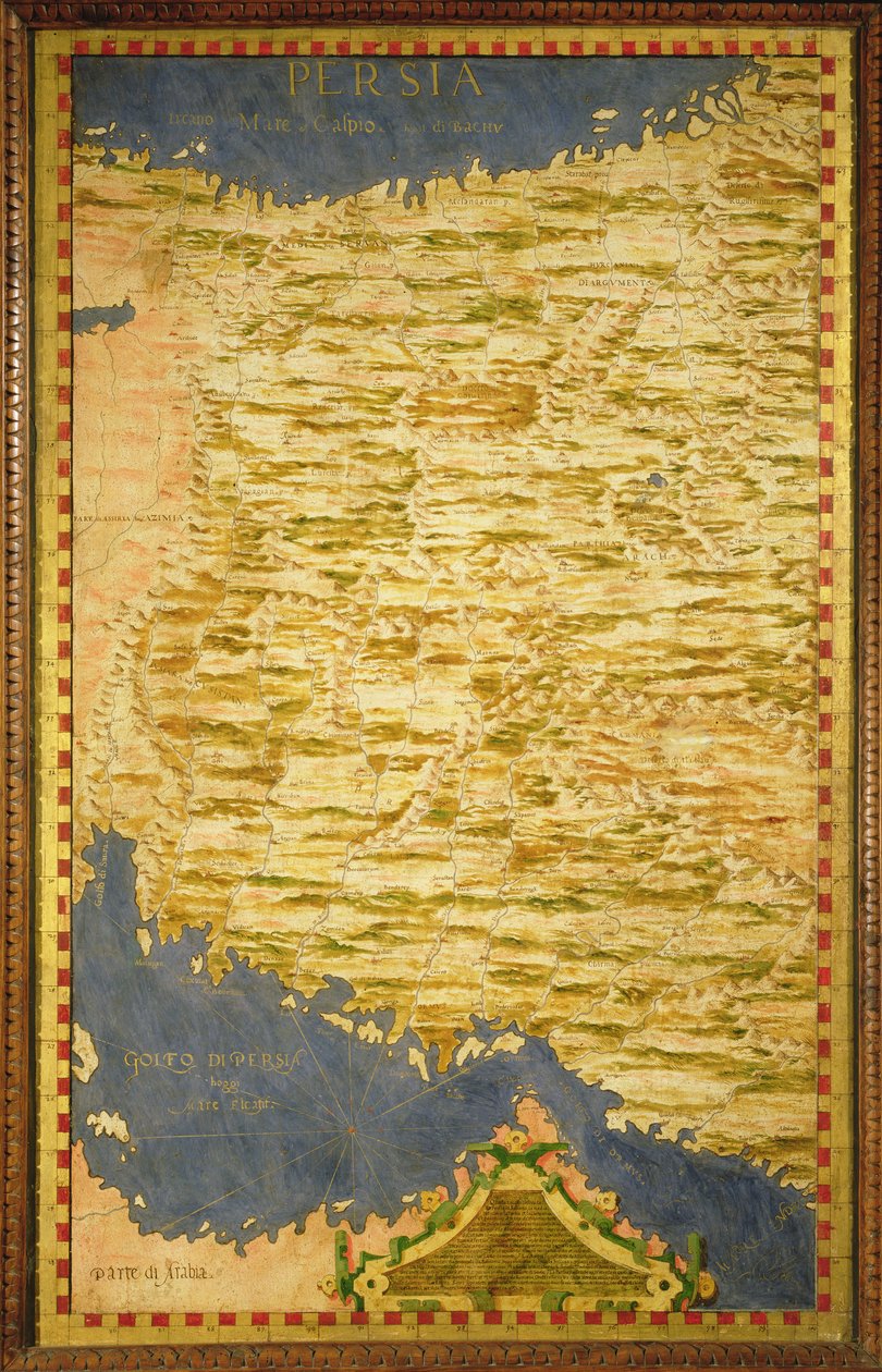
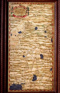
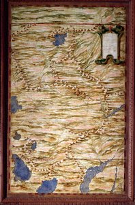
Map of Persia by Stefano Bonsignori

Map of Persia

(Map of Persia )


Stefano Bonsignori

€ 122.76
Tax-free
   Configure art print
Undated  ·  Oil on panel  ·  Image ID: 92425

Nonclassified artists  ·  Cartography

Map of Persia by Stefano Bonsignori. Available as an art print on canvas, photo paper, watercolor board, natural paper, or Japanese paper.
italian · cartography · persian · gulf · arabia · Palazzo Vecchio (Cappella dei Priori) Florence, Italy / Bridgeman Images
Other color versions of this image  
AR/3D   View in 3D / AR zu Favoriten hinzufügen   Add to favorites    Change wall color    View picture in a room
0 Reviews

Configure art print

Picture Frame

Medium & Stretcher

Glass & Passepartout

Miscellaneous & Extras

 Save / compare configuration
Preview Icon

Summary

Gemälde
Veredelung
Keilrahmen
Museumslizenz

€ 122.76
(inkl. 20% MwSt)
   Add to cart

Bildschärfe: PERFEKT

If you'd like us to adjust the brightness, colors, or crop the image, we're happy to do this for you at no extra cost. Just get in touch!

Similar artworks selected for you

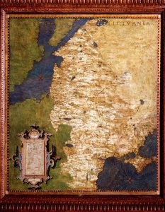
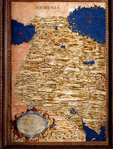
Iran Map of Cuba and the Caribbean Map of Armenia Map of Mexico and Central America, from the Russia Moscovia Mexico, Cuba, Florida and Jamaica. Map made by Egnazio Danti (1536-1586), Italian mathematician, cosmographer and architect. Around 1567. Florence, Palazzo Vecchio, Sala del Mappamondo Latvia and Lithuania Livonia on the Baltic Sea, and Lithuania. Map by Egnazio Danti (1536-1586), Italian mathematician, cosmographer and architect. Around 1567. Florence, Palazzo Vecchio, Sala del Mappamondo Russia Gulf of Mexico, Cuba and Southern United States Map of Armenia made by Egnazio Danti (1536-1586), mathematician, cosmographer and Italian architect. Around 1567. Florence, Palazzo Vecchio, Sala del Mappamondo Sogdiana, a territory covering part of Uzbekistan, Tajikistan and Afghanistan. Map made by Egnazio Danti (1536-1586), mathematician, cosmographer and Italian architect. Around 1567. Florence, Palazzo Vecchio, Sala del Mappamondo Moscow region map by Egnazio Danti (1536-1586), mathematician, cosmographer and Italian architect. Around 1567. Florence, Palazzo Vecchio, Sala del Mappamondo North-western India Map of Tartary Anatolian peninsula with ancient toponyms and Middle East Middle East: Georgia, Armenia, Iraq, Western Iran The Map is Published in Christiania Map of the Cape of Good Hope Iceland Bolivia and Western Amazonia Indostan (Hindustan) at the top of the Ganges. Map produced by Egnazio Danti (1536-1586), mathematician, cosmographer and Italian architect. Around 1567. Florence, Palazzo Vecchio, Sala del Mappamondo Middle East - Georgia, Armenia, Azerbaijan, Iraq, Western Iran Map of the Strait of Magellan made by Egnazio Danti (1536-1586), an Italian mathematician, cosmographer and architect. Around 1567. Florence, Palazzo Vecchio, Sala del Mappamondo. Map of Peru made by Egnazio Danti (1536-1586), mathematician, cosmographer and Italian architect. Around 1567. Florence, Palazzo Vecchio, Sala del Mappamondo Map of China Madagascar Western Pakistan and Afghanistan
Show more similar artworks

More art prints by Stefano Bonsignori

Map of Florence, 1584 Map of the Sixteenth-Century British Isles, from the Italy France Map of Sixteenth Century Greece, from the “Sala delle Carte Geografiche” (Hall of Geographical Maps), 1575 Western Africa including Senegal, Guinea, Mali, Sierra Leone, Liberia, Côte d’Ivoire, Burkina Faso... Map of Sixteenth-Century France, from the Horn of Africa - Ethiopia and Somalia (Africa) Central and Northern Europe: Belgium, the Netherlands, Denmark, Germany, Poland, Switzerland, Austria and Hungary Central Northern Europe - Belgium, the Netherlands, Denmark, Germany, Poland, Switzerland, Austria and... Map of the Bay of Bengal, the China Sea and Java Map of Sixteenth Century Turkey, from the Map of Sixteenth Century Arabia, from the Map of Tartary Karelia and Northern Russia
Show more works by Stefano Bonsignori

More motifs from the category Cartography

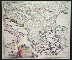
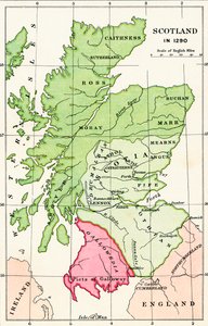
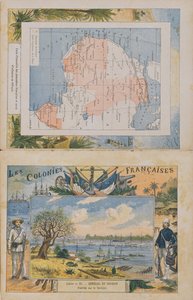
Map showing the localities of the Indian tribes of the US in 1833, illustration from Map of the New England coastline in 1614, engraved by Simon de Passe (1595-1647), 1616 Map of Wales, published c.1630 A New Land and Water Map of the Entire Earth, 1630 Map of Yorktown, Virginia, October 1781 Map of London, showing the bear baiting garden in Southwark, c. 1561 ‘Civitas Londinum’, map of London, 1560 Map of Greece, Hungary and their surrounding countries Map depicting the East Coast of North America, 1647 Map of Scotland in 1290, from Map of French possessions and spheres of influence in Africa and a view of the Senegal River, cover of a school exercise book, late 19th century Map charting Sir Francis Drake Map of Rhode Island at the time of its occupation 1780-81 by the French Army on the orders of Jean-Baptiste de Vimeur Count of Rochambeau Atlas 131 F fol. 2, Map of Bas-Poitou, Pays d Map No. 8 showing the route of the Armada fleet, engraved by Augustine Ryther, 1588
View More from "Cartography"

A selection of our top sellers

Le Port au soleil couchant, Opus 236 Whaling in the Polar Sea Free Curve to the Point - Accompanying Sound of Geometric Curves, 1925 Girl with a Pearl Earring The Birth of Venus Solitary Tree Three Sunflowers Shooting Stars (Franz and Mary von Stuck) Summer evening on Skagen Praying Girl, Italian painting of the 19th century. Striped Jug with Spring Flowers, 1992 Oak Grove, 1887 Portrait of the Philosopher and Esotericist Rudolf Steiner Ulysses and the Sirens Construction, 1923
Show more artworks


What our customers think about us


Frequently Asked Questions about Meisterdrucke


Personalizing your art print at Meisterdrucke is simple and intuitive: Choose a frame, set the image size, pick a printing medium, and add suitable glazing or a stretcher frame. We also offer additional customization options like mats, fillets, and spacers. If you have any questions, our customer service team is ready to help you create your perfect artwork.

At Meisterdrucke, you can visualize your configured artwork directly in your own room. Simply upload a photo of your space and see how the artwork looks in it. If you're visiting us on a mobile device — phone or tablet — our augmented reality feature brings the picture to life and projects it right into your room. A unique experience that combines art and technology.

Choosing the right medium is often a matter of personal taste. To give you a better idea, we've provided some images for each medium. We also offer a sample set of all paper variants, so you can decide not just visually but by touch as well. You can order the sample set free of charge — only shipping costs apply.

Don't worry! At Meisterdrucke, we don't just process orders mechanically. Every order is manually reviewed by our team. If we spot any inconsistencies or issues with your configuration, we'll get in touch with you right away. And of course, our friendly and patient support team is always here to help you with your configuration. We'll work with you by phone or email to adjust your image so the final result is exactly what you had in mind.


Still have questions?

Are you interested in an art print from our manufactory but still unsure? Do you need advice on choosing the medium or help with the order?

Our experts are happy to assist you.

+43 4257 29415
support@meisterdrucke.com

Mo-Do: 7:00 - 16:00 | Fr: 7:00 - 13:00

Still have questions?

Are you interested in an art print from our manufactory but still unsure? Do you need advice on choosing the medium or help with the order?

Our experts are happy to assist you.

+43 4257 29415
support@meisterdrucke.com
Mo-Do: 7:00 - 16:00 | Fr: 7:00 - 13:00


Meisterdrucke

   Kärntner Strasse 46
        9586 Finkenstein am Faaker See
        Austria
        +43 4257 29415
        support@meisterdrucke.com
Other languages

                   
Erfahrungen & Bewertungen zu Meisterdrucke
Post.at DHL Express Quehenberger Cargoboard
Kaiser Franz Joseph

Meisterdrucke
Kärntner Strasse 46
9586 Finkenstein am Faaker See · Austria
+43 4257 29415 · support@meisterdrucke.com
Post.at DHL Express Quehenberger Cargoboard


(c) 2026 meisterdrucke.uk