support@meisterdrucke.com  ·  0043 4257 29415

Deutsch English Italiano Español Français Nederlands Português Svenska Polski Dansk
Search by artist, work title or style – e.g. Monet, Starry Night, Impressionism, Hokusai wave, nude. Describe the scene – e.g. green meadow, abstract with lots of red, dark oil painting, standing nude next to a tree.

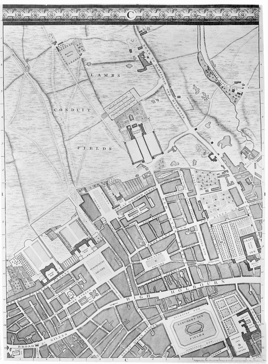
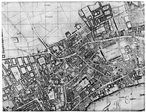
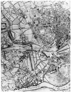
A Map of Bloomsbury and Holborn, London, 1746 by John Rocque

A Map of Bloomsbury and Holborn, London, 1746

(A Map of Bloomsbury and Holborn, London, 1746 )


John Rocque

€ 128.55
Tax-free
   Configure art print
1746  ·  engraving  ·  Image ID: 53573

Victorian Art  ·  Cartography

A Map of Bloomsbury and Holborn, London, 1746 by John Rocque. Available as an art print on canvas, photo paper, watercolor board, natural paper, or Japanese paper.
Private Collection / Bridgeman Images
Other color versions of this image  
AR/3D   View in 3D / AR zu Favoriten hinzufügen   Add to favorites    Change wall color    View picture in a room
0 Reviews

Configure art print

Picture Frame

Medium & Stretcher

Glass & Passepartout

Miscellaneous & Extras

 Save / compare configuration
Preview Icon

Summary

Gemälde
Veredelung
Keilrahmen
Museumslizenz

€ 128.55
(inkl. 20% MwSt)
   Add to cart

Bildschärfe: PERFEKT

If you'd like us to adjust the brightness, colors, or crop the image, we're happy to do this for you at no extra cost. Just get in touch!

Similar artworks selected for you

Plan of the Cities of London and Westminster and Borough of Southwark, Engraved by John Tinney, Published 1746 Bird Plan of the parish of St Giles, London Map of Manchester A Map of Marylebone, London, 1746 Loggan A Map of Lambeth and Vauxhall, London, 1746 A plan of Holborn, St Giles, and St Pancras, London, in 1800 A Map of St Paul Map of Shoreditch, Norton Folgate and Cripplegate City map of Naples with Capodimonte (detail) Route of James II A Map of Mile End and Stepney Green, London, 1746 A Map of Chelsea, 1746 Plan of Kensington Palace (detail) by Joshua Rhodes, 1764 Plan of the Parish of St Georges, Hanover Square, London, 1907 Part of Bernard Ratzer Loggan Nuova pianta di Roma by Giambattista Nolli, 1748, known as La Pianta Grande di Roma A Map of the Tower of London, 1746
Show more similar artworks

More art prints by John Rocque

A Map of St Paul A Map of Bloomsbury and Holborn, London, 1746 A Map of the West End and Soho, London, 1746 A Map of the Royal Palace and Gardens of Kensington, London, 1736 A Map of Marylebone, London, 1746 A Map of Clerkenwell, City of London, 1746 A Map of Old London Bridge, London, 1746 A Map of St. James A Map of Shoreditch and Whitechapel, London, 1746 A Map of Moorfields and Hoxton, London, 1746 A Map of The King A Map of Covent Garden and Westminster, London, 1746 A Map of Mile End and Stepney Green, London, 1746 A Map of Wapping, London, 1746 A Map of Limehouse and Rotherhithe, London, 1746
Show more works by John Rocque

More motifs from the category Cartography

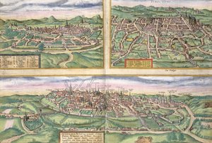
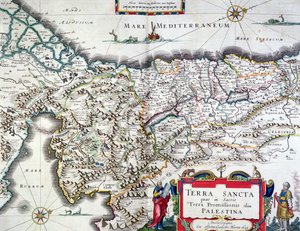
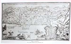
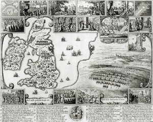
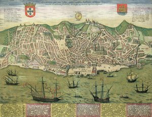
Map of Montpellier, Tours, and Poitiers, from Map of the Caribbean islands and the American state of Florida Map of the Battle of Laon, published by William Blackwood and Sons, Edinburgh and London, 1848 Ms. 988, Volume 3, fol. 39: Map of the town and citadel of Saint-Martin, Île de Ré, from the „Atlas Louis XIV“, 1683-88 Map of the Holy Land, published in Amsterdam, 1629 Map of Europe, Northern Africa and Western Asia, Orbis Veteribus Notus, from Map showing the localities of the Indian tribes of the US in 1833, illustration from Map of Palestine, from a Passover Haggadah, printed in 1695 A Map of St. James Map of Civil War England and a View of Prague, 1632 Geographic Map of the Azores, 1587 Map of World Map, from Map of Lisbon, from India Quae Orientalis Dicitur, Et Insulae Adiacentes, map showing South-East Asia and the East Indies, published in Amsterdam, c.1635
View More from "Cartography"

A selection of our top sellers

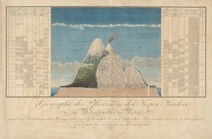
Ideas for a Geography of Plants Together with a Physical Portrait of the Tropical Lands Reduced Weight Abstract Horse, 1911 Seated Woman with Bent Knees, 1917 Farm Garden The times of day: The evening, 1821-1822 Self-Portrait as the Allegory of Painting Composition VII Evening at the Iris Field The Mountain Mowers, First Version Reclining Nude, 1917-18 The Consummation of Empire, 1836 Circe Invidiosa, 1892 The Sin, 1899 The School of Athens, from the Stanza della Segnatura, 1509-10
Show more artworks


What our customers think about us


Frequently Asked Questions about Meisterdrucke


Personalizing your art print at Meisterdrucke is simple and intuitive: Choose a frame, set the image size, pick a printing medium, and add suitable glazing or a stretcher frame. We also offer additional customization options like mats, fillets, and spacers. If you have any questions, our customer service team is ready to help you create your perfect artwork.

At Meisterdrucke, you can visualize your configured artwork directly in your own room. Simply upload a photo of your space and see how the artwork looks in it. If you're visiting us on a mobile device — phone or tablet — our augmented reality feature brings the picture to life and projects it right into your room. A unique experience that combines art and technology.

Choosing the right medium is often a matter of personal taste. To give you a better idea, we've provided some images for each medium. We also offer a sample set of all paper variants, so you can decide not just visually but by touch as well. You can order the sample set free of charge — only shipping costs apply.

Don't worry! At Meisterdrucke, we don't just process orders mechanically. Every order is manually reviewed by our team. If we spot any inconsistencies or issues with your configuration, we'll get in touch with you right away. And of course, our friendly and patient support team is always here to help you with your configuration. We'll work with you by phone or email to adjust your image so the final result is exactly what you had in mind.


Still have questions?

Are you interested in an art print from our manufactory but still unsure? Do you need advice on choosing the medium or help with the order?

Our experts are happy to assist you.

+43 4257 29415
support@meisterdrucke.com

Mo-Do: 7:00 - 16:00 | Fr: 7:00 - 13:00

Still have questions?

Are you interested in an art print from our manufactory but still unsure? Do you need advice on choosing the medium or help with the order?

Our experts are happy to assist you.

+43 4257 29415
support@meisterdrucke.com
Mo-Do: 7:00 - 16:00 | Fr: 7:00 - 13:00


Meisterdrucke

   Kärntner Strasse 46
        9586 Finkenstein am Faaker See
        Austria
        +43 4257 29415
        support@meisterdrucke.com
Other languages

                   
Erfahrungen & Bewertungen zu Meisterdrucke
Post.at DHL Express Quehenberger Cargoboard
Kaiser Franz Joseph

Meisterdrucke
Kärntner Strasse 46
9586 Finkenstein am Faaker See · Austria
+43 4257 29415 · support@meisterdrucke.com
Post.at DHL Express Quehenberger Cargoboard


(c) 2026 meisterdrucke.uk