support@meisterdrucke.com  ·  0043 4257 29415

Deutsch English Italiano Español Français Nederlands Português Svenska Polski Dansk
Search by artist, work title or style – e.g. Monet, Starry Night, Impressionism, Hokusai wave, nude. Describe the scene – e.g. green meadow, abstract with lots of red, dark oil painting, standing nude next to a tree.

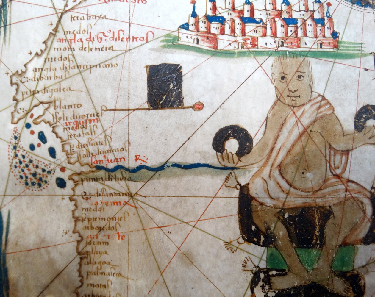
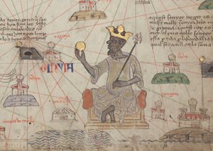
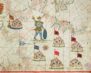
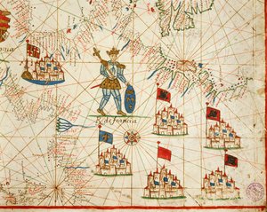
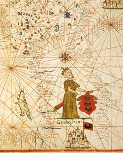
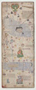
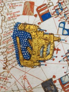
Detail showing an African ruler from a Renaissance map of Europe, Jacopo Russo (after) 1528 by Jacopo Russo

Detail showing an African ruler from a Renaissance map of Europe, Jacopo Russo (after) 1528

(Detail showing an African ruler from a Renaissance map of Europe, Jacopo Russo (after), 1528)


Jacopo Russo

€ 121.68
Tax-free
   Configure art print
1528  ·  Image ID: 393976

Nonclassified artists  ·  Cartography

Detail showing an African ruler from a Renaissance map of Europe, Jacopo Russo (after) 1528 by Jacopo Russo. Available as an art print on canvas, photo paper, watercolor board, natural paper, or Japanese paper.
renaissance · europe · jacopo russo · detail · cartography · geography · african · ruler · africa · 1520s · 16th century · - / Bridgeman Images
AR/3D   View in 3D / AR zu Favoriten hinzufügen   Add to favorites    Change wall color    View picture in a room
0 Reviews

Configure art print

Picture Frame

Medium & Stretcher

Glass & Passepartout

Miscellaneous & Extras

 Save / compare configuration
Preview Icon

Summary

Gemälde
Veredelung
Keilrahmen
Museumslizenz

€ 121.68
(inkl. 20% MwSt)
   Add to cart

Bildschärfe: PERFEKT

If you'd like us to adjust the brightness, colors, or crop the image, we're happy to do this for you at no extra cost. Just get in touch!

Similar artworks selected for you

Egypt and the Red Sea, detail from a Renaissance map of Europe, Jacopo Russo (after), 1528 Holy Roman Emperor, Detail from a Renaissance Map of Europe, Jacopo Russo Detail from the Catalan Atlas, Sheet 6, showing the Western Sahara and Mansa Musa, 1375 Renaissance map of Europe, Jacopo Russo (after), 1528 Representation of the King of Spain and the coasts of Europe and North Africa (portulan) An Arab Trader on a Camel, detail from a Renaissance map of Europe, after Jacopo Russo, 1528 Ireland, detail from a Renaissance map of Europe, after Jacopo Russo, 1528 England, Wales and Scotland, from a Renaissance map of Europe, after Jacopo Russo, 1528 Detail from the Catalan Atlas, Sheet 6, showing Mansa Musa enthroned, 1375 Renaissance map of Europe, Jacopo Russo (after), 1528 King of Poland (detail) Renaissance Map of Europe, Jacopo Russo, after 1528 The Kingdom of France, from a Nautical Atlas, 1646 The Cities of Marseille and Genoa with their ports, from a nautical atlas, 1651 (detail) Kankou Mousa, King of Mali, from the Map of Charles V, Map of Mecia de Viladestes, a portolan of Europe and North Africa, 1413 Kingdom of France, from Portolan Atlas Consisting of Six Charts Renaissance map of Europe, after Jacopo Russo, 1528 Gulf of Biscay in the Atlas of Guillaume Brouscon (1540-1560) Renaissance map of Europe (after Jacopo Russo), 1528 Map of northeastern Africa and southwestern Levant, view from the south. Catalan Atlas. Marseille, Genoa and Venice, from a Nautical Atlas (detail) Renaissance Map of Europe, after Jacopo Russo, 1528 Ottoman empire, from portolan atlas consisting of six charts, by Placido Caloiro and Francesco Oliva Detail showing Jerusalem and Damascus from a Renaissance map of Europe, after Jacopo Russo, 1528 Catalan Atlas, Sheet 9, 1375 North Africa, from a nautical atlas, 1520 (detail) The king of the Tartars Island of Malta (from Portolan Atlas Consisting of Six Charts by Placido Caloiro and Francesco Oliva, Parchment, 1646) The Red Sea and the Suez Canal (portulan)
Show more similar artworks

More art prints by Jacopo Russo

Ms Ital 550.0.3.15 fol.2r Map of Europe, from Ms. Ital. 550.0.3.15, fol. 4v-5r. Map of the Eastern Mediterranean Coast and Islands, from the „Carte Geografiche“ Renaissance map of Europe, after Jacopo Russo, 1528 Compass point, Renaissance map of Europe, Jacopo Russo (after), 1528 Detail from a Renaissance map of Europe, after Jacopo Russo, 1528 Holy Roman Emperor, Detail from a Renaissance Map of Europe, Jacopo Russo Ms Ital 550.0.3.15 fol. 6r Map of Egypt, from the „Carte Geografiche“ Egypt and the Red Sea, detail from a Renaissance map of Europe, Jacopo Russo (after), 1528 Renaissance map of Europe, after Jacopo Russo, 1528 Ms. Ital. 550.0.3.15, fol. 4v-5r, Map of Africa and the Cape of Good Hope, from the Damascus and Jerusalem, detail from the Geographical Maps Ireland, detail from a Renaissance map of Europe, after Jacopo Russo, 1528 An Arab Trader on a Camel, detail from a Renaissance map of Europe, after Jacopo Russo, 1528 England, Wales and Scotland, from a Renaissance map of Europe, after Jacopo Russo, 1528 Renaissance map of Europe, Jacopo Russo (after), 1528
Show more works by Jacopo Russo

More motifs from the category Cartography

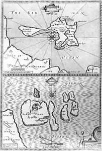
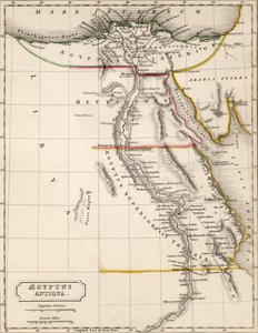
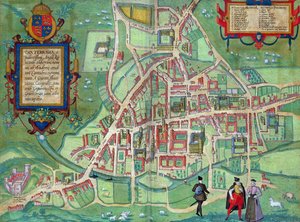
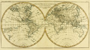
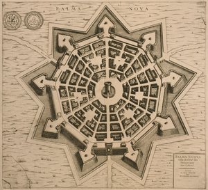
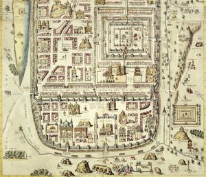
Scene of the Zodiac including a Galleon, detail from the vault of the World map of French-speaking countries, early 20th century Maps of Holy Island and Farne Island, Northumberland, from Map of Aegyptus Antiqua (Ancient Egypt), drawn and engraved by Sydney Hall, c. 1826 Map of the Isle of Dogs, c.1830 Map of Cambridge, from Map of Cutch and Kathiawar, published under the direction of Colonel G.C. de Pree, S.C., Surveyor General of India, 1885 Map of Parma, Siena, Palermo and Drepanum, from ’Civitates Orbis Terrarum’ by Georg Braun (1541-1622) and Frans Hogenberg (1535-90), c.1572 Map Showing the Distribution of Deaths from Cholera in the Registration Districts of London, 1866 Map of the World in Two Hemispheres, from Ms 988 volume 3 fol. 33 Map of the town and citadel of Belle-Île, from the “Atlas Louis XIV”, 1683-88 Map of Palmanova, from Les Villes de Venetie, 1704, published by Rutgert Alberts in The Hague Map of Edinburgh, from A Map of Wapping, London, 1746 Map of Jerusalem and the surrounding area, from
View More from "Cartography"

A selection of our top sellers

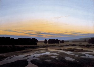
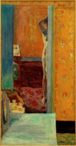
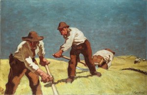
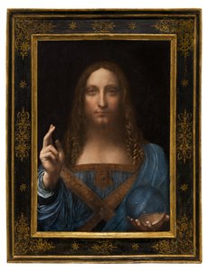
Still Life, 1872 Water Lilies ("Yellow Nirvana") Bauhaus Stairway, 1932 Tilla Durieux 1880-1971 as Circe, c.1913 The Blue Grotto on Capri View of L The Grosse Gehege near Dresden, 1832 Sin Nude in an Interior Richelieu (1585-1642) on the sea wall at La Rochelle, 1881 Mountain farmers mowing Winter, 1573 Psyche entering Cupid Salvator Mundi, c. 1500 The Disciples Peter and John Running to the Sepulchre on the Morning of the Resurrection, c. 1898
Show more artworks


What our customers think about us


Frequently Asked Questions about Meisterdrucke


Personalizing your art print at Meisterdrucke is simple and intuitive: Choose a frame, set the image size, pick a printing medium, and add suitable glazing or a stretcher frame. We also offer additional customization options like mats, fillets, and spacers. If you have any questions, our customer service team is ready to help you create your perfect artwork.

At Meisterdrucke, you can visualize your configured artwork directly in your own room. Simply upload a photo of your space and see how the artwork looks in it. If you're visiting us on a mobile device — phone or tablet — our augmented reality feature brings the picture to life and projects it right into your room. A unique experience that combines art and technology.

Choosing the right medium is often a matter of personal taste. To give you a better idea, we've provided some images for each medium. We also offer a sample set of all paper variants, so you can decide not just visually but by touch as well. You can order the sample set free of charge — only shipping costs apply.

Don't worry! At Meisterdrucke, we don't just process orders mechanically. Every order is manually reviewed by our team. If we spot any inconsistencies or issues with your configuration, we'll get in touch with you right away. And of course, our friendly and patient support team is always here to help you with your configuration. We'll work with you by phone or email to adjust your image so the final result is exactly what you had in mind.


Still have questions?

Are you interested in an art print from our manufactory but still unsure? Do you need advice on choosing the medium or help with the order?

Our experts are happy to assist you.

+43 4257 29415
support@meisterdrucke.com

Mo-Do: 7:00 - 16:00 | Fr: 7:00 - 13:00

Still have questions?

Are you interested in an art print from our manufactory but still unsure? Do you need advice on choosing the medium or help with the order?

Our experts are happy to assist you.

+43 4257 29415
support@meisterdrucke.com
Mo-Do: 7:00 - 16:00 | Fr: 7:00 - 13:00


Meisterdrucke

   Kärntner Strasse 46
        9586 Finkenstein am Faaker See
        Austria
        +43 4257 29415
        support@meisterdrucke.com
Other languages

                   
Erfahrungen & Bewertungen zu Meisterdrucke
Post.at DHL Express Quehenberger Cargoboard
Kaiser Franz Joseph

Meisterdrucke
Kärntner Strasse 46
9586 Finkenstein am Faaker See · Austria
+43 4257 29415 · support@meisterdrucke.com
Post.at DHL Express Quehenberger Cargoboard


(c) 2026 meisterdrucke.uk