support@meisterdrucke.com  ·  0043 4257 29415

Deutsch English Italiano Español Français Nederlands Português Svenska Polski Dansk
Search by artist, work title or style – e.g. Monet, Starry Night, Impressionism, Hokusai wave, nude. Describe the scene – e.g. green meadow, abstract with lots of red, dark oil painting, standing nude next to a tree.

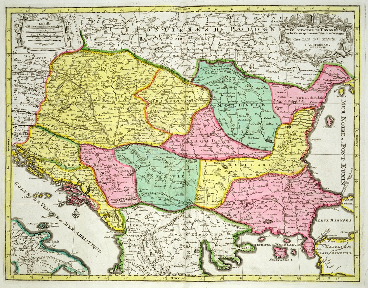
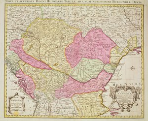
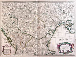
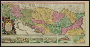
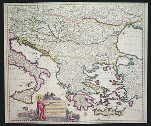
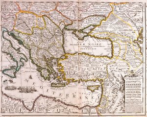
Map of the Kingdom of Hungary and the States which are United to its Crown, published by Jan Barend Elwe, Amsterdam, 1742 by Dutch School

Map of the Kingdom of Hungary and the States which are United to its Crown, published by Jan Barend Elwe, Amsterdam, 1742

(Map of the Kingdom of Hungary and the States which are United to its Crown, pub. by Jan Barend Elwe, Amsterdam, 1742 )


Dutch School

€ 123.19
Tax-free
   Configure art print
1742  ·  coloured engraving  ·  Image ID: 415271

Cultural Circles  ·  Cartography

Map of the Kingdom of Hungary and the States which are United to its Crown, published by Jan Barend Elwe, Amsterdam, 1742 by Dutch School. Available as an art print on canvas, photo paper, watercolor board, natural paper, or Japanese paper.
serbia · romania · bulgaria · moldavia · bosnia · croatia · transylvania · print · valaquie · bessarabie · slovakia · eastern europe · balkans · magyar · empire · hungarian · Private Collection / Bridgeman Images
AR/3D   View in 3D / AR zu Favoriten hinzufügen   Add to favorites    Change wall color    View picture in a room
0 Reviews

Configure art print

Picture Frame

Medium & Stretcher

Glass & Passepartout

Miscellaneous & Extras

 Save / compare configuration
Preview Icon

Summary

Gemälde
Veredelung
Keilrahmen
Museumslizenz

€ 123.19
(inkl. 20% MwSt)
   Add to cart

Bildschärfe: PERFEKT

If you'd like us to adjust the brightness, colors, or crop the image, we're happy to do this for you at no extra cost. Just get in touch!

Similar artworks selected for you

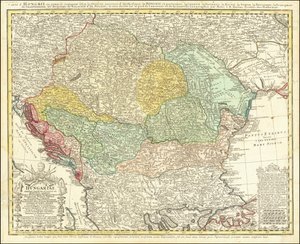
Map of the Eastern Mediterranean and Black Sea countries, Turkey and the provinces of Asia Minor Large part of Croatia except the north, Bosnia and Herzegovina, Serbia and Montenegro, large part of Bulgaria except the south, southern Ukraine, Moldova, Romania, southern Slovakia, Hungary Germany (State: Saxony), southern Poland, large part of Ukraine (except the north), western Czech Republic, Slovakia, eastern Austria, Hungary, Romania, Moldova, Slovenia, Croatia, Italy (east, central and south), Bosnia and Herzegovina, Serbia, Bulgaria Karstia, Carniola, Histria and Windic March Map of the Kingdom of Hungary (etching) Taurica Chersonesus, Today Called Perekop and Gazar Map of the Eastern Roman Empire and Adjacent Regions During the Time of Constantine VII Porphyrogennetos and His Predecessors (8th-9th Centuries) 1744 Map of the Balkan Peninsula Centered on the Kingdom of Hungary by Johann Matthias Hase Map of the Kingdom of Hungary, 1742 South-West Turkmenistan, Iran, West Afghanistan, West Pakistan The Russian Empire Map of Persia Ancient Asia Minor. Map. Description of the Eastern Empire and Surrounding Regions, under Constantine Porphyrogenitus and His Predecessors 1692 Map of the Turkish Empire in Europe Duchy of Schleswig Northern Part Land Map of the Electorate of Brandenburg with Royal Prussian Privilege Argow with Southern Part of Zurichgow Map of Mongolia showing Japan and China, c.1680 Hungary Map of the Vendée depicting the area of the Vendée Revolt (1793-96) in March 1793, c. 1815 Map of Persia Map of the Ottoman and Persian Empires (Cropped) Map of Independent Tartary, comprising the land of the Kalmyks, that of the Uzbeks, and Turkestan 1762 map - Turkey in Europe Swabian Circle Including All Subdivided States Ottoman Empire in 1696 by Jaillot Switzerland The Course of the Danube from its Source to its Mouth, based on the most recent memoires of P. Coroneli and S. Sanson, Geographer to the King
Show more similar artworks

More art prints by Dutch School

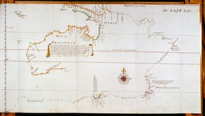
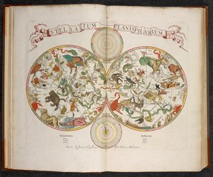
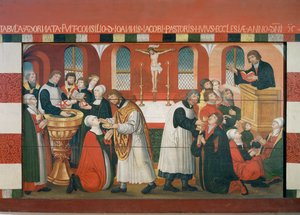
Map of New Holland, now Australia, and of New Zealand, drawn from information collected during trips undertaken by Abel Janszoon Tasman (1603-1659) and Willem Janszoon (1570-1630) Plaque with a Chinoiserie Landscape and Gilt Details, c. 1680 Terrarum Orbis Tabula, after G. a Schagen. Published c. 1689 Stellatum Planisphaerium, a planisphere with signs of the Zodiac Martin Luther Preaching, detail from the altarpiece of the Church of Torslunde A Dodo Sint Eustatius in the Dutch Antilles, with West Indiamen Massed in the Road off Oranjestad Rock the Brazilian Miracle of Our Lady of Nazaré. Our Lady of Nazaré Church (Largo Nossa Senhora da Nazaré). Portugal. Map of Greece, Hungary and their surrounding countries Map of the Magellan Straits, Patagonia Map of the Cape of Good Hope. Table Bay, South Africa. King Alvaro I of Kongo receiving the Dutch ambassadors, an illustration from the Compass Rose, from a Blue Atlas, published in Amsterdam, 1697 The Coronation of William of Orange (1650-1702) and Mary (1662-94), at Westminster Abbey, 21st April 1689
Show more works by Dutch School

More motifs from the category Cartography

Map of Nuremberg, Ulm, and Salzburg, from Renaissance map of Europe, Jacopo Russo (after), 1528 Map of the Austrian Empire, c. 1750 Map from Map of the dominions of the Angevins, c. 1170, from Map of Tenochtitlan from „Praeclara Ferdinandi Cortesii de Nova Maris Oceani Hispania Narrati“ Map Charting the Orbit of the Moon around the Earth, from Map of Venice, by Sebastian Münster (1488-1552), published in Basel, c. 1560 Map of the route followed by Hernando Cortés (1485-1547) during the conquest of Mexico Map of Montpellier, from Map Depicting North Africa, from an Atlas by Ptolemy, 1st Half of the 16th Century Map of Palestine, Palestina Antiqua, from Samuel Butler Admiranta Narratio... Map of Virginia (pages 44-45), 1585-1588, colour engraving The Maple of Ratibor, Silesia, 1893 Map of Rovigo, from “Les Villes de Venetie”, 1704, published by Pierre Mortier in Amsterdam
View More from "Cartography"

A selection of our top sellers

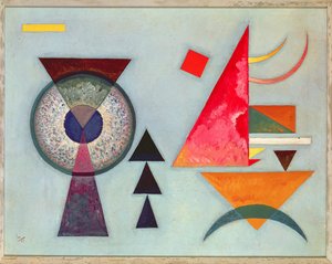
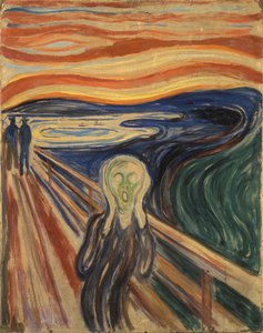
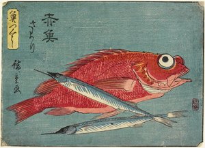
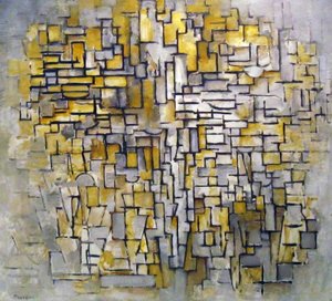
Animal Fable: Tiger and Snake in Combat in a Primeval Forest Reclining Female Nude with Spread Legs View of Florence, 1837. Children of the Sea Road at La Cavée, Pourville Vassilissa in the Forest, illustration from the Russian folk tale, Soft Hard The Scream Red Snapper and Halfbeak, 1830-1844 Composition No. VII, 1913 Still Life with Fruit Bowl Princess Tuvstarr Is Still Sitting There Wistfully Looking into the Water, 1913 Seated Woman with Bent Knees, 1917 View of L Café Terrace at Night, Place du Forum, Arles
Show more artworks


What our customers think about us


Frequently Asked Questions about Meisterdrucke


Personalizing your art print at Meisterdrucke is simple and intuitive: Choose a frame, set the image size, pick a printing medium, and add suitable glazing or a stretcher frame. We also offer additional customization options like mats, fillets, and spacers. If you have any questions, our customer service team is ready to help you create your perfect artwork.

At Meisterdrucke, you can visualize your configured artwork directly in your own room. Simply upload a photo of your space and see how the artwork looks in it. If you're visiting us on a mobile device — phone or tablet — our augmented reality feature brings the picture to life and projects it right into your room. A unique experience that combines art and technology.

Choosing the right medium is often a matter of personal taste. To give you a better idea, we've provided some images for each medium. We also offer a sample set of all paper variants, so you can decide not just visually but by touch as well. You can order the sample set free of charge — only shipping costs apply.

Don't worry! At Meisterdrucke, we don't just process orders mechanically. Every order is manually reviewed by our team. If we spot any inconsistencies or issues with your configuration, we'll get in touch with you right away. And of course, our friendly and patient support team is always here to help you with your configuration. We'll work with you by phone or email to adjust your image so the final result is exactly what you had in mind.


Still have questions?

Are you interested in an art print from our manufactory but still unsure? Do you need advice on choosing the medium or help with the order?

Our experts are happy to assist you.

+43 4257 29415
support@meisterdrucke.com

Mo-Do: 7:00 - 16:00 | Fr: 7:00 - 13:00

Still have questions?

Are you interested in an art print from our manufactory but still unsure? Do you need advice on choosing the medium or help with the order?

Our experts are happy to assist you.

+43 4257 29415
support@meisterdrucke.com
Mo-Do: 7:00 - 16:00 | Fr: 7:00 - 13:00


Meisterdrucke

   Kärntner Strasse 46
        9586 Finkenstein am Faaker See
        Austria
        +43 4257 29415
        support@meisterdrucke.com
Other languages

                   
Erfahrungen & Bewertungen zu Meisterdrucke
Post.at DHL Express Quehenberger Cargoboard
Kaiser Franz Joseph

Meisterdrucke
Kärntner Strasse 46
9586 Finkenstein am Faaker See · Austria
+43 4257 29415 · support@meisterdrucke.com
Post.at DHL Express Quehenberger Cargoboard


(c) 2026 meisterdrucke.uk