support@meisterdrucke.com  ·  0043 4257 29415

Deutsch English Italiano Español Français Nederlands Português Svenska Polski Dansk
Search by artist, work title or style – e.g. Monet, Starry Night, Impressionism, Hokusai wave, nude. Describe the scene – e.g. green meadow, abstract with lots of red, dark oil painting, standing nude next to a tree.

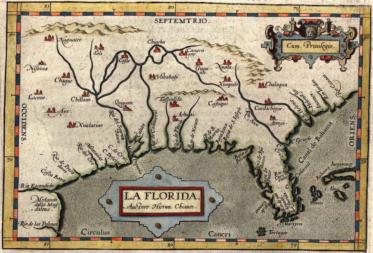
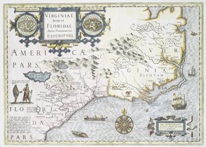
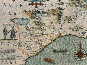
Map of Florida, c. 1584 by Abraham Ortelius

Map of Florida, c. 1584

(Map of Florida, c.1584 (hand-coloured engraving))


Abraham Ortelius

€ 134.56
Tax-free
   Configure art print
1584  ·  hand-coloured engraving  ·  Image ID: 209680

Nonclassified artists  ·  Cartography

Map of Florida, c. 1584 by Abraham Ortelius. Available as an art print on canvas, photo paper, watercolor board, natural paper, or Japanese paper.
HistoryMiami, Florida, USA / Bridgeman Images
Other color versions of this image  
AR/3D   View in 3D / AR zu Favoriten hinzufügen   Add to favorites    Change wall color    View picture in a room
0 Reviews

Configure art print

Picture Frame

Medium & Stretcher

Glass & Passepartout

Miscellaneous & Extras

 Save / compare configuration
Preview Icon

Summary

Gemälde
Veredelung
Keilrahmen
Museumslizenz

€ 134.56
(inkl. 20% MwSt)
   Add to cart

Bildschärfe: PERFEKT

If you'd like us to adjust the brightness, colors, or crop the image, we're happy to do this for you at no extra cost. Just get in touch!

Similar artworks selected for you

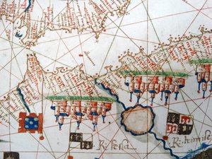
North Carolina, titled Map of Bavaria, Germany, from Theatrum Orbis Terrarum by Abraham Ortelius Virginia and Florida (engraving) Allegorical Map of the Stages of Love Typus Vindeliciae Ssive Utriusque Bavariae: Secundum Antiquam & Recentiorum Situm, ab Joanne Aventino Olim Descriptus... Geography Map of the Territory of Bavaria in Germany from Harbor of Palos, by Abraham Ortelius (1528-1598), Plate Schleswig-Holstein, Germany Map of the Garden of Eden, 1675 Map of Central Europe, from Larii Lacus Vulgo Tertorii Romani Fori Iulii. Geography Map of Northern Italy from Eastern Europe and Balkans 1575 Map of Chile Compiled by Jesuits View of the western coast of Mexico, and southern California - Map Theatrum Orbis Terrarum, 1570. Map of Western Andalusia by Abraham Ortelius and Jeronimo de Chaves North-East Poland, Russia, Lithuania Map of the Gulf of Mexico from Hernando de Soto Virginiae Item et Floridae Americae Provinciarum, Nova Descriptio Map of Hungary and Balkans 1683 Nord-Pas de Calais, France La Gaule, its rivers and mountains - in Saxton Carthage view of the Gulf of Tunis in a 17th century historical atlas Coast of North Carolina (detail) Picardy, Nord-Pas de Calais, France Map of the Region of Piedmont, Italy, from Theatrum Orbis Terrarum Map of Central America. 16th century. Northern part of America, Florida, Baccalaos, Canada, Corterealis
Show more similar artworks

More art prints by Abraham Ortelius

The Expedition of Alexander the Great, from the Map of the Pacific, China and America, 1589, by Abrahamus Ortelius (1527-98) Map of Ancient Egypt, 1584 World Map Typus Orbis Terrarum Map of Tartary, Northern-Central Asia, from Theatrum Orbis Terrarum by Abraham Ortelius Map of the Voyage of the Argonauts, from the “Theatrum Orbis Terrarum”, 1603 Map of the world: “Typus Orbis Terrarum”, from Ortelius Celebrated places in Judea and Israel, from the Aegypti Recentior Descriptio. - Carthaginis Celeberrimi Sinus Typus. Geography map of Egypt with the cities of the Nile and Carthage (Tunisia) from “Theatrum Orbis Terrarum” by Abraham Ortelius Typus Orbis Terrarum, map of the world, from Ortelius Map of Ancient Egypt - by Abraham Ortelius, Antwerp Pontus Euxinus Map of Europe A. Velleius. Islandia Earth Map (World Map), geographical map from “Theatrum Orbis Terrarum” by Abraham Ortelius (1527-1598)
Show more works by Abraham Ortelius

More motifs from the category Cartography

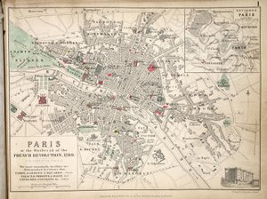
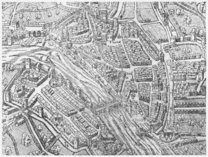
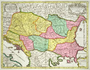
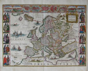
Detail of the Right Bank, from the Map of Paris c. 1540, known as the Plan de la Tapisserie, made as a Tapestry c. 1570 Map of Naples, from ‘Civitates Orbis Terrarum’ by Georg Braun (1541-1622) and Frans Hogenberg (1535-90), c.1572 Nova Scotia and Newfoundland, from a Series of World Maps published by John Tallis und Co., New York and London, 1850s Map of Toledo and Valladolid (from Historical Map of Berlin, published by Verlag von Gebrüder Rocca, Berlin 1838 Europe and Central Asia, from an Atlas of the World in 33 Maps, Venice, 1st September 1553 Map of Paris at the Outbreak of the French Revolution, 1789, published by William Blackwood and Sons, Edinburgh and London, 1848 Map of Rome, 1579 Map of Lancaster Divided into Hundreds, 1610 Map of Sussex Map of Basel Renaissance map of Europe, after Jacopo Russo, 1528 Map of Ancient Egypt, 1584 Map of the Kingdom of Hungary and the States which are United to its Crown, published by Jan Barend Elwe, Amsterdam, 1742 Map of Europe from: Atlas Maior
View More from "Cartography"

A selection of our top sellers

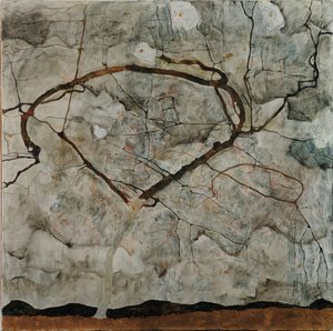
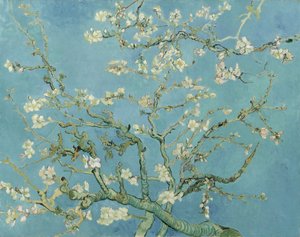
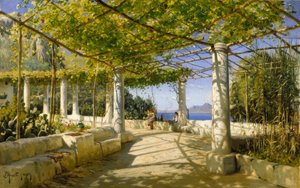
Autumn Tree in Moving Air ("Winter Tree") Anguish The Night Watch Almond Blossom Pergola on Capri with a View of Vesuvius Woman with a Veil, 1915 After a Gale, 1903 Scenography for “The Magic Flute”, opera by Wolfgang Amadeus Mozart, realised by Karl Schinkel (1781-1841) Under the Wave off Kanagawa, 1831-34 Keelmen Heaving in Coals by Moonlight Mending the Sail, 1896 Olive Trees with Yellow Sky and Sun The Wild Hunt of Odin Village Landscape in Morning Light Kingfisher by the Waterside
Show more artworks


What our customers think about us


Frequently Asked Questions about Meisterdrucke


Personalizing your art print at Meisterdrucke is simple and intuitive: Choose a frame, set the image size, pick a printing medium, and add suitable glazing or a stretcher frame. We also offer additional customization options like mats, fillets, and spacers. If you have any questions, our customer service team is ready to help you create your perfect artwork.

At Meisterdrucke, you can visualize your configured artwork directly in your own room. Simply upload a photo of your space and see how the artwork looks in it. If you're visiting us on a mobile device — phone or tablet — our augmented reality feature brings the picture to life and projects it right into your room. A unique experience that combines art and technology.

Choosing the right medium is often a matter of personal taste. To give you a better idea, we've provided some images for each medium. We also offer a sample set of all paper variants, so you can decide not just visually but by touch as well. You can order the sample set free of charge — only shipping costs apply.

Don't worry! At Meisterdrucke, we don't just process orders mechanically. Every order is manually reviewed by our team. If we spot any inconsistencies or issues with your configuration, we'll get in touch with you right away. And of course, our friendly and patient support team is always here to help you with your configuration. We'll work with you by phone or email to adjust your image so the final result is exactly what you had in mind.


Still have questions?

Are you interested in an art print from our manufactory but still unsure? Do you need advice on choosing the medium or help with the order?

Our experts are happy to assist you.

+43 4257 29415
support@meisterdrucke.com

Mo-Do: 7:00 - 16:00 | Fr: 7:00 - 13:00

Still have questions?

Are you interested in an art print from our manufactory but still unsure? Do you need advice on choosing the medium or help with the order?

Our experts are happy to assist you.

+43 4257 29415
support@meisterdrucke.com
Mo-Do: 7:00 - 16:00 | Fr: 7:00 - 13:00


Meisterdrucke

   Kärntner Strasse 46
        9586 Finkenstein am Faaker See
        Austria
        +43 4257 29415
        support@meisterdrucke.com
Other languages

                   
Erfahrungen & Bewertungen zu Meisterdrucke
Post.at DHL Express Quehenberger Cargoboard
Kaiser Franz Joseph

Meisterdrucke
Kärntner Strasse 46
9586 Finkenstein am Faaker See · Austria
+43 4257 29415 · support@meisterdrucke.com
Post.at DHL Express Quehenberger Cargoboard


(c) 2026 meisterdrucke.uk