support@meisterdrucke.com  ·  0043 4257 29415

Deutsch English Italiano Español Français Nederlands Português Svenska Polski Dansk
Search by artist, work title or style – e.g. Monet, Starry Night, Impressionism, Hokusai wave, nude. Describe the scene – e.g. green meadow, abstract with lots of red, dark oil painting, standing nude next to a tree.

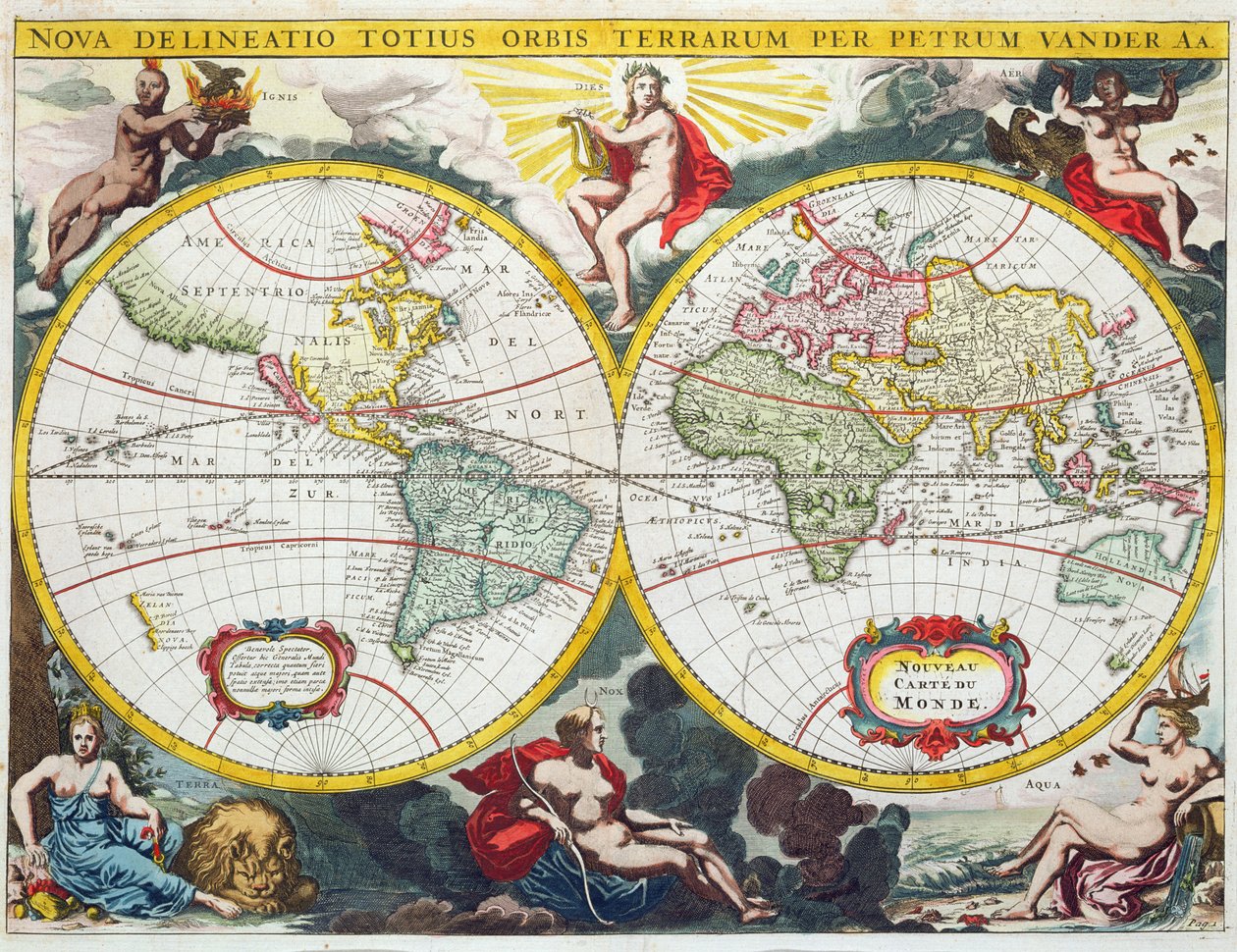
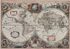
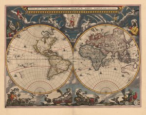
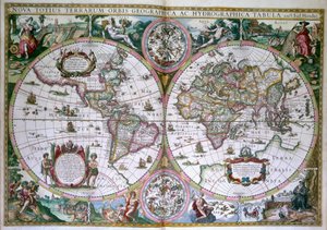
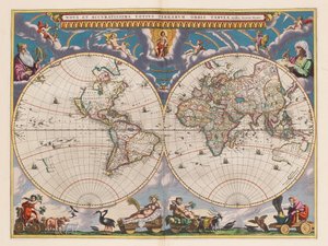
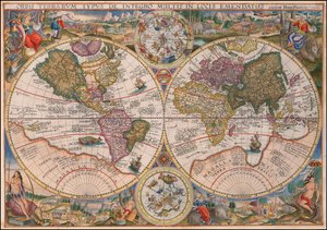
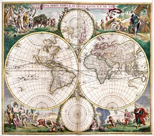
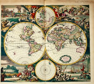
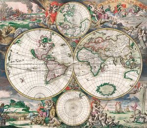
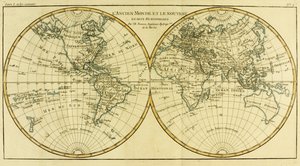
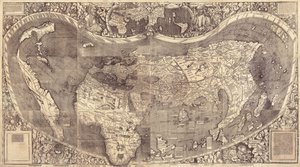
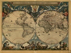
World Map, early 18th century by Pieter Van der Aa

World Map, early 18th century

(World Map, early 18th century )


Pieter Van der Aa

€ 124.71
Tax-free
   Configure art print
Undated  ·  coloured engraving  ·  Image ID: 262939

Nonclassified artists  ·  Cartography

World Map, early 18th century by Pieter Van der Aa. Available as an art print on canvas, photo paper, watercolor board, natural paper, or Japanese paper.
two hemispheres · hemisphere · cartography · Private Collection / Bridgeman Images
Other color versions of this image  
AR/3D   View in 3D / AR zu Favoriten hinzufügen   Add to favorites    Change wall color    View picture in a room
0 Reviews

Configure art print

Picture Frame

Medium & Stretcher

Glass & Passepartout

Miscellaneous & Extras

 Save / compare configuration
Preview Icon

Summary

Gemälde
Veredelung
Keilrahmen
Museumslizenz

€ 124.71
(inkl. 20% MwSt)
   Add to cart

Bildschärfe: PERFEKT

If you'd like us to adjust the brightness, colors, or crop the image, we're happy to do this for you at no extra cost. Just get in touch!

Similar artworks selected for you

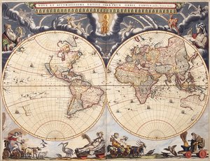
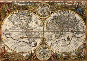
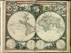
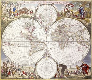
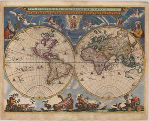
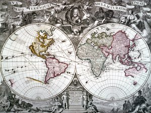
New and Most Accurate Map of the Whole World Antique Double-Hemisphere World Map New Geographical and Hydrographical Map of the Entire World Double Hemisphere Map of the World, 1662 Orbis terrarum nova et accuratissima tabula, ca 1690 World Map. Nova Totius Terrarum Orbis Le Grand Atlas, ou Cosmographie Blauiane, en laquelle est exactement descritte le Terre, la Mer, et le Ciel, vol.I World Map from the Blaeu Atlas Orbis Terrarum Typus... (Double Hemispheric World Map) 1594 Double Hemisphere World Map Planisphere World Terrarum Orbis Tabula, after G. a Schagen. Published c. 1689 New Board for All the World World A New and Accurate Map of the World Map of the World. Double Hemisphere World Map for the King World Map World map from Atlas Maior, c. 1705 Double hemisphere map of the World Map of the World Antique Dutch World Map Planisphere by Frederic de Witt (17th century) Double-hemisphere world map from Goos Itinerarium. World map with costumes, natives, ships, plants and animals
Show more similar artworks

More art prints by Pieter Van der Aa

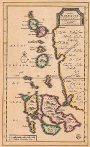
Fighting in the Streets of Moscow between Russians and Poles in 1611, 1698 The Death of Tsar Fyodor II Borisovich Godunov, 1605, 1698 Map of the Molucca Islands (modern Indonesia), c. 1707 Sack of Magdeburg, 1698 World Map, early 18th century Scenes depicting an ambassadorial audience with the Czar of Russia and Muscovites declaring an oath, from ’La Galerie Agréable du Monde’, 1729 Map of Colchis (1714) - it shows the oldest known depiction of the wall Arrival of Stepan Razin and his brother Frol in an iron cage in Moscow, 1671, 1698 The Siege and Battle of Narva in 1700, 1726 The Siege of Riga by the Russian Army under Tsar Alexei Mikhailovich in 1656 The Carnival of Venice, from: Thesaurus Antiquitatum et Historiarum Italiae, vol. IX, 1722 View of Moscow Astrakhan, 1726 Sainte Trinite, or, Jerusalem, Church of Moscow, from La Galerie Agreable du Monde, 1729 The Poles in the Riddarholm Church in Stockholm
Show more works by Pieter Van der Aa

More motifs from the category Cartography

Ms 1288 f.25 Map of Brazil, from Dutch Marine Maps, 1637 Transport map of London, c.1915 The Site of Shakespeare A Map of St Paul Map of the Mediterranean, 1625 Map of Wilnis, from ’Civitates Orbis Terrarum’ by Georg Braun (1541-1622) and Frans Hogenberg (1535-90), c.1572-1617 BT1.47.9 The Dedication to Queen Elizabeth I from a Book of Maps of England and Wales by Christopher Saxton, published 1579 Map of the World in Two Hemispheres, from Ms 988 volume 3 fol.31 Map of Concarneau, from the ’Atlas Louis XIV’, 1683-88 Map of Armenia, Colchis, Iberia and Albania, from A Map of the Province of New York with Part of Pennsylvania and New England, from an Actual Survey by Captain Montrésor, Engineer, 1775, 10 June 1775 Glyph map of Aztec migration from Aztlan to Tenochtitlan, published c. 1830 World Map, early 18th century Battle of Waterloo, Map of the Battlefield, engraved by Jacowick, 1816 Map of the Voyage of the Argonauts, from the “Theatrum Orbis Terrarum”, 1603
View More from "Cartography"

A selection of our top sellers

Moa, 1911 A Gotthelf reader Starry Night The Terrace at the Restaurant Jacob in Nienstedten on the Elbe Standing Male Nude Standing half-nude with brown shirt Boy Viewing Mount Fuji, 1839 The Roundel in the Hedge Garden with a Flower Waterer Little Heath Princess. 1889 The Redoutable at Trafalgar, 21st October 1805 World map Universalis Cosmographia, 1507 Dog Morning in a Pine Forest Flaming June, c. 1895 Twelve Sunflowers in a Vase
Show more artworks


What our customers think about us


Frequently Asked Questions about Meisterdrucke


Personalizing your art print at Meisterdrucke is simple and intuitive: Choose a frame, set the image size, pick a printing medium, and add suitable glazing or a stretcher frame. We also offer additional customization options like mats, fillets, and spacers. If you have any questions, our customer service team is ready to help you create your perfect artwork.

At Meisterdrucke, you can visualize your configured artwork directly in your own room. Simply upload a photo of your space and see how the artwork looks in it. If you're visiting us on a mobile device — phone or tablet — our augmented reality feature brings the picture to life and projects it right into your room. A unique experience that combines art and technology.

Choosing the right medium is often a matter of personal taste. To give you a better idea, we've provided some images for each medium. We also offer a sample set of all paper variants, so you can decide not just visually but by touch as well. You can order the sample set free of charge — only shipping costs apply.

Don't worry! At Meisterdrucke, we don't just process orders mechanically. Every order is manually reviewed by our team. If we spot any inconsistencies or issues with your configuration, we'll get in touch with you right away. And of course, our friendly and patient support team is always here to help you with your configuration. We'll work with you by phone or email to adjust your image so the final result is exactly what you had in mind.


Still have questions?

Are you interested in an art print from our manufactory but still unsure? Do you need advice on choosing the medium or help with the order?

Our experts are happy to assist you.

+43 4257 29415
support@meisterdrucke.com

Mo-Do: 7:00 - 16:00 | Fr: 7:00 - 13:00

Still have questions?

Are you interested in an art print from our manufactory but still unsure? Do you need advice on choosing the medium or help with the order?

Our experts are happy to assist you.

+43 4257 29415
support@meisterdrucke.com
Mo-Do: 7:00 - 16:00 | Fr: 7:00 - 13:00


Meisterdrucke

   Kärntner Strasse 46
        9586 Finkenstein am Faaker See
        Austria
        +43 4257 29415
        support@meisterdrucke.com
Other languages

                   
Erfahrungen & Bewertungen zu Meisterdrucke
Post.at DHL Express Quehenberger Cargoboard
Kaiser Franz Joseph

Meisterdrucke
Kärntner Strasse 46
9586 Finkenstein am Faaker See · Austria
+43 4257 29415 · support@meisterdrucke.com
Post.at DHL Express Quehenberger Cargoboard


(c) 2026 meisterdrucke.uk