support@meisterdrucke.com  ·  0043 4257 29415

Deutsch English Italiano Español Français Nederlands Português Svenska Polski Dansk
Search by artist, work title or style – e.g. Monet, Starry Night, Impressionism, Hokusai wave, nude. Describe the scene – e.g. green meadow, abstract with lots of red, dark oil painting, standing nude next to a tree.

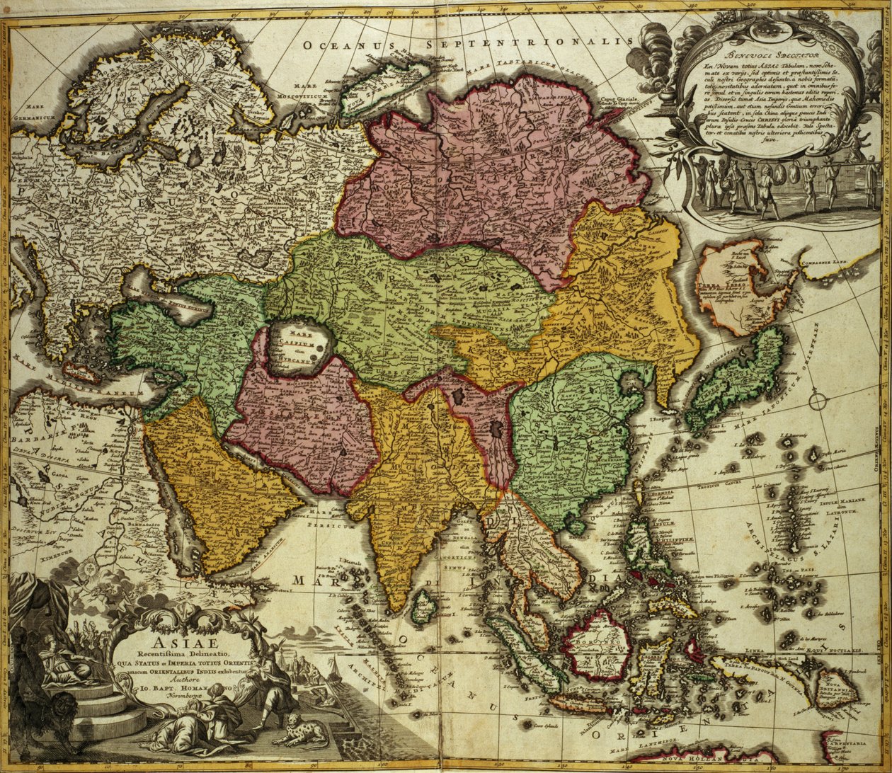
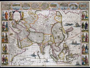
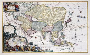
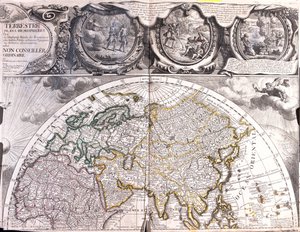
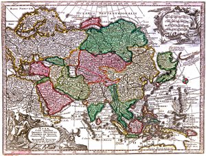
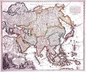
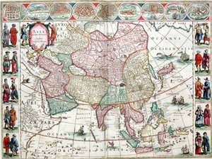
Map of Asia, Nuremberg, c.1730 by Johann Baptista Homann

Map of Asia, Nuremberg, c.1730

(Map of Asia, Nuremberg, c.1730 )


Johann Baptista Homann

€ 115.34
Tax-free
   Configure art print
Undated  ·  coloured engraving  ·  Image ID: 58276

Nonclassified artists  ·  Cartography

Map of Asia, Nuremberg, c.1730 by Johann Baptista Homann. Available as an art print on canvas, photo paper, watercolor board, natural paper, or Japanese paper.
of asia and latin · homann · O'Shea Gallery, London, UK / Bridgeman Images
Other color versions of this image  
AR/3D   View in 3D / AR zu Favoriten hinzufügen   Add to favorites    Change wall color    View picture in a room
0 Reviews

Configure art print

Picture Frame

Medium & Stretcher

Glass & Passepartout

Miscellaneous & Extras

 Save / compare configuration
Preview Icon

Summary

Gemälde
Veredelung
Keilrahmen
Museumslizenz

€ 115.34
(inkl. 20% MwSt)
   Add to cart

Bildschärfe: PERFEKT

If you'd like us to adjust the brightness, colors, or crop the image, we're happy to do this for you at no extra cost. Just get in touch!

Similar artworks selected for you

Map of Asia from the Bleau Atlas Asia - by A Amsterdam Allard Asia Noviter Asia The theatre of the world or the new atlas Amsterdam. Geographic map of Asia by Willem Janszoon Blaeu Map of Asia, published in 1700, Paris Map of Asia. Plate from an Atlas by Willem Janszoon Blaeu Map of Asia Map of Asia, c.1696 Pakistan, India, Nepal, Bhutan, Bangladesh, Sri Lanka, East China, North Korea, South Korea, Japan, Burma, Thailand, Laos, Vietnam, Cambodia, Indonesia, Philippines, Malaysia 1695 Map of Asia 1692 Map of Asia Map of Asia Asia Asia (engraving) General Map Including Arabia, Japan, the Korean Peninsula and the Greater Part of the Indonesian Archipelago, 1631 Map of Asia, Tartaria, Japan, the Philippines and the East Indies, engraved by G. van Gouwen, c. 1690 Map of the Northern Hemisphere of the World Map of the Northern Hemisphere Asia: Map of the continent including Japan and the East Indies with part of New Guinea, c.1580 Asia, in Description of the Asian continent, Geography map from General map extending from India and Ceylon to northwestern Australia by way of southern Japan, the Philippines, the Malay Peninsula and the Indonesian archipelago A new description of Asia Map of Asia Asia noviter delineata Map of East India (South and Southeast Asia: Pakistan, India, Nepal, Bangladesh, Burma, Sri Lanka, Thailand, Malaysia, Vietnam, Cambodia, Laos, Philippines, Singapore and Indonesia)
Show more similar artworks

More art prints by Johann Baptista Homann

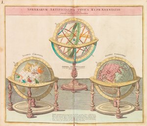
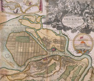
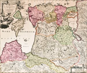
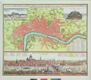
Map of the Christmas Flood of 1717 Map of Ireland Showing the Provinces of Ulster, Munster, Connaught and Leinster, by Johann B. Homann, c. 1730 Map of Asia, Nuremberg, c.1730 Map of Bavaria, Map of Russia from: Imperii Russici et Tartariae universae tam majoris et Asiaticae quam minoris et Vignettes of the World from Grosser Atlas, 1725 Asia Minor, Arabia and Japan, c.1725 Map and Prospect of London, c.1710 Accurate Map of the Upland Shears with the Situation and Area around the Royal Swedish Capital and Resident City of Stockholm, c.1740 The Globes From the Grand Atlas of all the World Map of Petersburg Saint Petersburg Master Plan New Map of the Principality of Catalonia and the Counties of Roussillon and Cerdanya The Baltic Sea From: Baltikum Ducatuum Livoniae et Curlandiae cum vicinis Insulis Nova Exhibitio Geographica Map of Russia Aerial Map of London, and View across the Thames from South Bank, with St. Paul
Show more works by Johann Baptista Homann

More motifs from the category Cartography

Drawing for the map of the moon A Map of Clerkenwell, City of London, 1746 Map of English Colonies in the Caribbean, pub. by Homanns Heirs, Nuremberg, c.1750 Patagonia, from a Series of World Maps published by John Tallis und Co., New York and London, 1850s World Map, early 18th century Map of the Island of Minorca, c.1740 Map of Rome, from Map of Philadelphia Lead Works, 1889 Map of the gold-bearing regions in Peru, from the Atlas Maior, Sive Cosmographia Blaviana, 1662 Map of the Battle of Laon, published by William Blackwood and Sons, Edinburgh and London Map showing the route of the Armada fleet, engraved by Augustine Ryther Map of the Island of Tinos with the Venetian Fleet, 17th Century Map of the County of Cornwall Map of South America, published in 1700, Paris Map of British Southern India, 1872
View More from "Cartography"

A selection of our top sellers

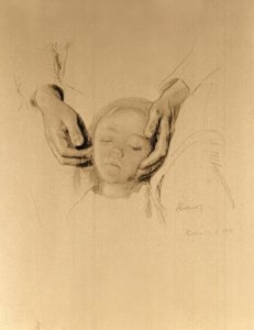
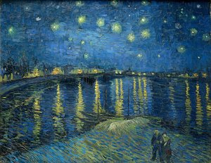
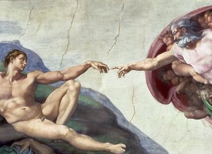
Impression, Sunrise, 1872 Moonlight over Lake Lucerne before the backdrop of Haystacks Red Cavalry, 1928-32 Sin Bridge in Monet The Gate of the Great Umayyad Mosque, Damascus, 1890 Abbey in the Oakwood The Garden of Earthly Delights Head of a child in hands Sunset over the Lake In the Morning Hunters in the Snow (Winter) Starry Night Over the Rhône Sistine Chapel Ceiling: Creation of Adam, detail of the outstretched arms, 1510 fresco after restoration
Show more artworks


What our customers think about us


Frequently Asked Questions about Meisterdrucke


Personalizing your art print at Meisterdrucke is simple and intuitive: Choose a frame, set the image size, pick a printing medium, and add suitable glazing or a stretcher frame. We also offer additional customization options like mats, fillets, and spacers. If you have any questions, our customer service team is ready to help you create your perfect artwork.

At Meisterdrucke, you can visualize your configured artwork directly in your own room. Simply upload a photo of your space and see how the artwork looks in it. If you're visiting us on a mobile device — phone or tablet — our augmented reality feature brings the picture to life and projects it right into your room. A unique experience that combines art and technology.

Choosing the right medium is often a matter of personal taste. To give you a better idea, we've provided some images for each medium. We also offer a sample set of all paper variants, so you can decide not just visually but by touch as well. You can order the sample set free of charge — only shipping costs apply.

Don't worry! At Meisterdrucke, we don't just process orders mechanically. Every order is manually reviewed by our team. If we spot any inconsistencies or issues with your configuration, we'll get in touch with you right away. And of course, our friendly and patient support team is always here to help you with your configuration. We'll work with you by phone or email to adjust your image so the final result is exactly what you had in mind.


Still have questions?

Are you interested in an art print from our manufactory but still unsure? Do you need advice on choosing the medium or help with the order?

Our experts are happy to assist you.

+43 4257 29415
support@meisterdrucke.com

Mo-Do: 7:00 - 16:00 | Fr: 7:00 - 13:00

Still have questions?

Are you interested in an art print from our manufactory but still unsure? Do you need advice on choosing the medium or help with the order?

Our experts are happy to assist you.

+43 4257 29415
support@meisterdrucke.com
Mo-Do: 7:00 - 16:00 | Fr: 7:00 - 13:00


Meisterdrucke

   Kärntner Strasse 46
        9586 Finkenstein am Faaker See
        Austria
        +43 4257 29415
        support@meisterdrucke.com
Other languages

                   
Erfahrungen & Bewertungen zu Meisterdrucke
Post.at DHL Express Quehenberger Cargoboard
Kaiser Franz Joseph

Meisterdrucke
Kärntner Strasse 46
9586 Finkenstein am Faaker See · Austria
+43 4257 29415 · support@meisterdrucke.com
Post.at DHL Express Quehenberger Cargoboard


(c) 2026 meisterdrucke.uk