support@meisterdrucke.com  ·  0043 4257 29415

Deutsch English Italiano Español Français Nederlands Português Svenska Polski Dansk
Search by artist, work title or style – e.g. Monet, Starry Night, Impressionism, Hokusai wave, nude. Describe the scene – e.g. green meadow, abstract with lots of red, dark oil painting, standing nude next to a tree.

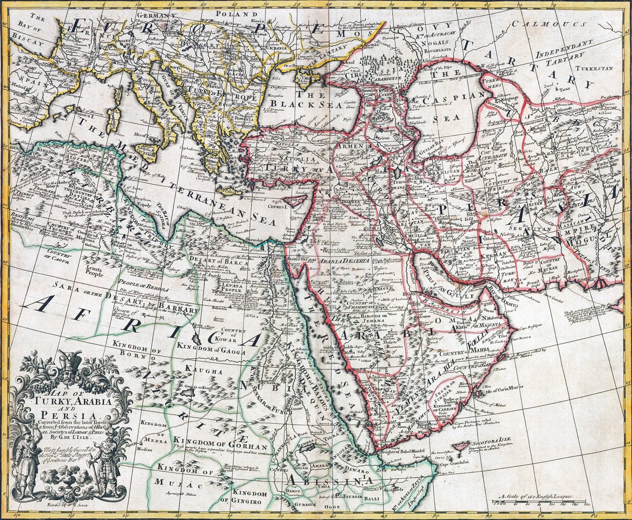
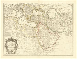
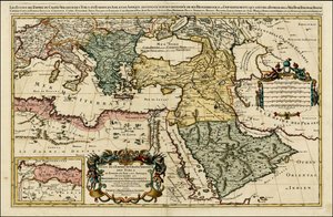
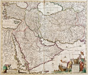
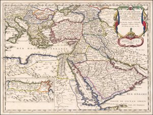
Map of Turkey, Arabia and Persia, after Guillaume de L

Map of Turkey, Arabia and Persia, after Guillaume de L'Isle, revised by John Senex, from the 'New General Atlas of 1721' by D. Browne, T. Taylor, J. Darby, J. Senex, W. Taylor and four others in London

(Map of Turkey, Arabia and Persia, after Guillaume de L'Isle, revised by John Senex, from the 'New General Atlas of 1721' by D. Browne, T. Taylor, J. Darby, J, Senex, W. Taylor and four others in Londo)


English School

€ 119.3
Tax-free
   Configure art print
Undated  ·  colour lithograph  ·  Image ID: 62470

Cultural Circles  ·  Cartography

Map of Turkey, Arabia and Persia, after Guillaume de L'Isle, revised by John Senex, from the 'New General Atlas of 1721' by D. Browne, T. Taylor, J. Darby, J. Senex, W. Taylor and four others in London by English School. Available as an art print on canvas, photo paper, watercolor board, natural paper, or Japanese paper.
mapping · cartography · grid · territory · africa · asia · illustration · iran · gulf states · cartouche · middle eastern · Private Collection / Bridgeman Images
Other color versions of this image  
AR/3D   View in 3D / AR zu Favoriten hinzufügen   Add to favorites    Change wall color    View picture in a room
0 Reviews

Configure art print

Picture Frame

Medium & Stretcher

Glass & Passepartout

Miscellaneous & Extras

 Save / compare configuration
Preview Icon

Summary

Gemälde
Veredelung
Keilrahmen
Museumslizenz

€ 119.3
(inkl. 20% MwSt)
   Add to cart

Bildschärfe: PERFEKT

If you'd like us to adjust the brightness, colors, or crop the image, we're happy to do this for you at no extra cost. Just get in touch!

Similar artworks selected for you

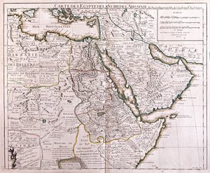
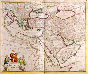
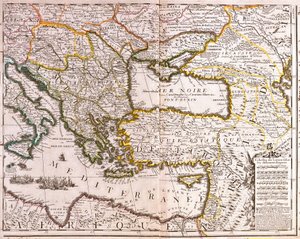
1654 Map - States of the Empire of the Great Lord of the Turks or Sultan of the Ottomans in Asia, Africa, and Europe States of the Grand Seigneur in Asia - Empire of Persia, Land of the Uzbeks, Arabia and Egypt Egypt and Abyssinia South Slovakia, Slovenia, Croatia, Hungary, Romania, Moldova, southern Ukraine, Bosnia and Herzegovina, Serbia and Montenegro, Bulgaria, Albania, Republic of Macedonia, Greece, Turkey, Georgia, Armenia, Azerbaijan, Iran, Cyprus, Syria, Iraq, eastern Libya Map of the Turkish Empire Map of the Middle East: Turkish Empire, Persia and Arabian Peninsula Italy, Balkan Peninsula, Turkey, Lebanon, Syria, Israel, Jordan, Iraq, Arabian Peninsula, Iran Map of Turkey, Arabia, and Persia Germany (State: Saxony), southern Poland, large part of Ukraine (except the north), western Czech Republic, Slovakia, eastern Austria, Hungary, Romania, Moldova, Slovenia, Croatia, Italy (east, central and south), Bosnia and Herzegovina, Serbia, Bulgaria Ottoman Empire in 1696 by Jaillot Map of the Eastern Mediterranean and Black Sea countries, Turkey and the provinces of Asia Minor Map of Independent Tartary, comprising the land of the Kalmyks, that of the Uzbeks, and Turkestan East Europe, Asia and north Africa - by A North-West Asia 1692 Map of the Turkish Empire in Europe, Asia and Africa Illustration from the book Atlas of All Parts of the Earth by unknown author and published by Chr. Steen & Søn (Copenhagen, 1857) Map of neighboring countries of the Caspian Sea - Russia, Armenia, Persia, Kazakhstan, Turkmenistan World Known to the Ancients, engraving by G. Zuliani taken from Tome IV of the Newest Atlas published in Venice in 1785 by Antonio Zatta, Private Collection The Known World of the Ancients Turkey, Cyprus, Lebanon, Syria, Israel, Jordan, Iraq, Arabian Peninsula, Iran, Turkmenistan, Afghanistan, Pakistan Map of Persia (Iran), Armenia, Anatolia (Turkey) and Arabia (Arabian Peninsula: Saudi Arabia, Kuwait, United Arab Emirates, Oman, Qatar, Yemen, Bahrain) Map of Europe, Northern Africa and Western Asia, Orbis Veteribus Notus, from Asia - by A West Asia Morocco, North Algeria, Tunisia, North-West Libya, Spain, Portugal, Italy Map of North Africa (Mauritania, Morocco, Algeria, Tunisia, Libya) and Europe (Spain, Portugal, France, Italy, Greece with Balearic Islands, Sardinia, Corsica and Sicily) Map of Persia
Show more similar artworks

More art prints by English School

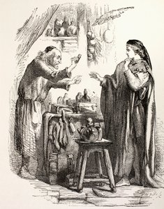
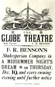
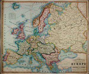
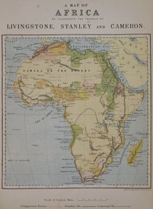
Church and Cottage with Lighted Windows The Portrait of a bodybuilder, c. 1898 Portrait of King Richard III Kidbrooke Park, Kent, formerly attributed to George Lambert (1700-65) c.1740-50 Map of Europe in 1910 Portrait of the Greek philosopher Socrates (469-399 BC) - From the series “Leaders of Men” - Chromolithography - English School, 20th century Detailed Map of Gallipoli Peninsula and the Dardanelles, Turkey, 1915, from Romeo buys poison from the apothecary, illustration from Romeo and Juliet, from "The Illustrated Library Shakespeare", published in London 1890 Poster advertising ‘A Midsummer Night A 19th century coloured map of Europe, compiled for use in colleges and schools. Map of the world with possessions of the British Empire coloured red, c. 1870 A Map of Africa to Illustrate the Travels of David Livingstone (1813-73), Henry Morton Stanley (1841-1904) and Verney Lovett Cameron (1844-94) An Allegory of the Tudor Succession: The Family of Henry VIII, c. 1589-95 ‘Cunard Line - Monarchs of the Sea’, poster for the Lusitania and Mauretania
Show more works by English School

More motifs from the category Cartography

Map of the World in Two Hemispheres, from Maps of York, Shrewsbury, Lancaster, and Richmond, from Map of Flanders at the time of the Thirty Years Map of the Battle of Novi, published by William Blackwood and Sons, Edinburgh and London, 1848 Map of Sixteenth Century Turkey, from the The Maple of Ratibor, Silesia, 1893 Town map of Constantinople, Turkey, c.1650 Map of the Acropolis of the 2nd city at Troy, 1884 Map showing the world trade shipping routes, cartography by Pierre Duval published in 1686, Paris Map of Florida Map of Asia, published in 1700, Paris Map of the Coast of Malabar, East Indies, 1672 Map of Africa, plate 18 from an Atlas of the World, 1486 Map of Paris showing Île de la Cité, from L Map of Berlin and Cölln, 1652
View More from "Cartography"

A selection of our top sellers

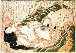
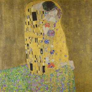
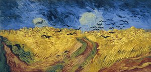
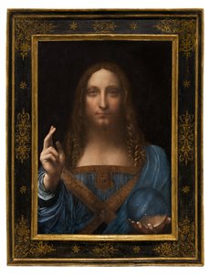
The Plague Is Coming Grace reading at Howth Bay The Dream of the Fisherman Annunciation, 1472-75 (after restoration) The Kiss The Tower of Babel (Rotterdam) Wheatfield with Crows Salvator Mundi, c. 1500 The Girls Self-Portrait as the Allegory of Painting Salvator Mundi Three Sunflowers Hygieia Landscape with Church and Path Holy Trinity (Troitsa)
Show more artworks


What our customers think about us


Frequently Asked Questions about Meisterdrucke


Personalizing your art print at Meisterdrucke is simple and intuitive: Choose a frame, set the image size, pick a printing medium, and add suitable glazing or a stretcher frame. We also offer additional customization options like mats, fillets, and spacers. If you have any questions, our customer service team is ready to help you create your perfect artwork.

At Meisterdrucke, you can visualize your configured artwork directly in your own room. Simply upload a photo of your space and see how the artwork looks in it. If you're visiting us on a mobile device — phone or tablet — our augmented reality feature brings the picture to life and projects it right into your room. A unique experience that combines art and technology.

Choosing the right medium is often a matter of personal taste. To give you a better idea, we've provided some images for each medium. We also offer a sample set of all paper variants, so you can decide not just visually but by touch as well. You can order the sample set free of charge — only shipping costs apply.

Don't worry! At Meisterdrucke, we don't just process orders mechanically. Every order is manually reviewed by our team. If we spot any inconsistencies or issues with your configuration, we'll get in touch with you right away. And of course, our friendly and patient support team is always here to help you with your configuration. We'll work with you by phone or email to adjust your image so the final result is exactly what you had in mind.


Still have questions?

Are you interested in an art print from our manufactory but still unsure? Do you need advice on choosing the medium or help with the order?

Our experts are happy to assist you.

+43 4257 29415
support@meisterdrucke.com

Mo-Do: 7:00 - 16:00 | Fr: 7:00 - 13:00

Still have questions?

Are you interested in an art print from our manufactory but still unsure? Do you need advice on choosing the medium or help with the order?

Our experts are happy to assist you.

+43 4257 29415
support@meisterdrucke.com
Mo-Do: 7:00 - 16:00 | Fr: 7:00 - 13:00


Meisterdrucke

   Kärntner Strasse 46
        9586 Finkenstein am Faaker See
        Austria
        +43 4257 29415
        support@meisterdrucke.com
Other languages

                   
Erfahrungen & Bewertungen zu Meisterdrucke
Post.at DHL Express Quehenberger Cargoboard
Kaiser Franz Joseph

Meisterdrucke
Kärntner Strasse 46
9586 Finkenstein am Faaker See · Austria
+43 4257 29415 · support@meisterdrucke.com
Post.at DHL Express Quehenberger Cargoboard


(c) 2026 meisterdrucke.uk