-
 ×
- Home
- Art Prints ▸
- Artists ▸
- Categories ▸
- Art Styles ▸
- Picture Frame ▸
- All decorative frames
- Baroque decorative frames
- Simple decorative frames
- Rustic decorative frames
- Floating frames
- Golden decorative frames
- Silver decorative frames
- White decorative frames
- Black decorative frames
- Wood-look decorative frames
- Shabby chic decorative frames
- Thin decorative frames
- Thick decorative frames
- Print Media ▸
- All print media
- Canvas Leonardo (satin)
- Canvas Salvador (matte)
- Canvas Raphael (matte)
- FineArt Photo Matte
- FineArt Photo Satin
- FineArt Photo Baryte
- FineArt Photo Glossy
- Watercolor Paper Munch
- Watercolor Paper Renoir
- Watercolor Paper Turner
- Watercolor Paper Dürer
- Natural Line Hemp
- Natural Line Rice
- Kozo White, 110g
- Kozo Natural, 110g
- Inbe White, 125g
- Unryu, 55g
- Bamboo, 110g
- Premio Unryu, 165g
- Murakumo Natural, 42g
- Bizan Natural, 300g
- Bizan White, 300g
- Aluminum composite 3mm
- Acrylic glass 5mm
- Order Sample Set
- Which print medium is right for you?
Canvas
Photo Paper
Watercolor Board
Natural Line
Japanese Paper
Special Media
More information
- Help & Service ▸
- Contact us
- Sell your art
- Frequently Asked Questions
- Job Openings
- Complaint
- Order Samples
- Order Vouchers
- Shipping costs
- Production time
- Sustainability
- Image research
- Special requests
- Who are we?
- Pricing policy
- Company policy
- Quality promise
- Awards
- Stretcher frame
- Mats
- Decorative frames
- Glazing
- Fillets
- Mounting systems
- Print media
- Care tips
- Legal Notice
- Terms & Conditions
- Privacy Policy
- Right of Cancellation
Info & Service
More information
Good to know
Legal information
- Shop ▸
- Contact





 View in 3D / AR
 Add to favorites
 Change wall color
 View picture in a room
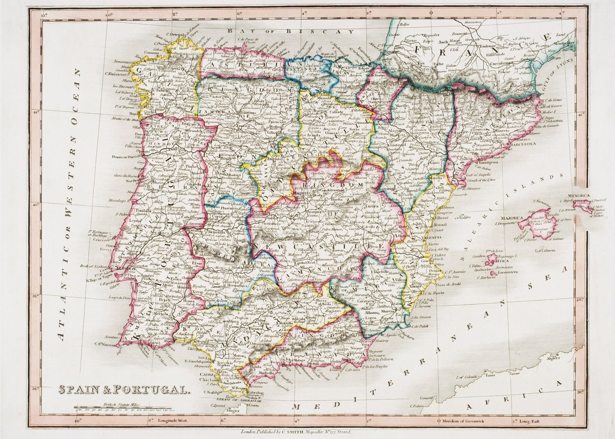
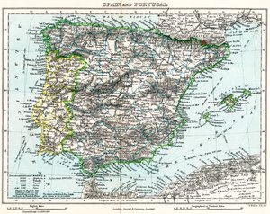
.jpg "New Universal Geography")
.jpg "Map of France, Gallia Antiqua, from")
.jpg "Postcard of Spain and Portugal. Delineatio Cursuum Publicorum Regni Hispaniae Et Portugalliae")
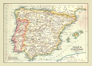
.jpg "A map of Spain and Portugal, c.1869")
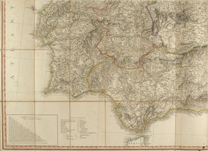
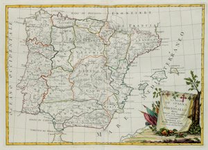
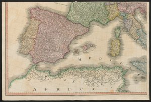
 published Geneva 1780 - (MeisterDrucke-65778).jpg "Spain and Portugal, from")
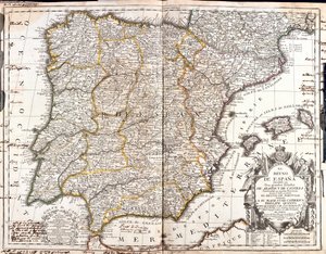
.jpg "Postcard from Spain and Portugal. Delineatio Cursuum Publicorum Regni Hispaniae Et Portugalliae")
.jpg "Map of the Iberian Peninsula, Kingdom of Portugal and Spain")
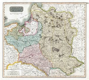
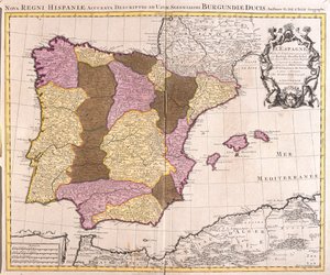
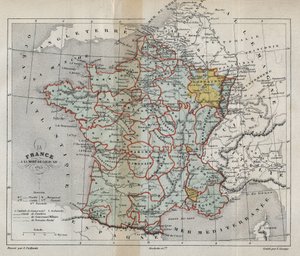
.jpg "Map of Germany, Germania Antiqua, from")
.jpg "Map of the Kingdom of Spain")
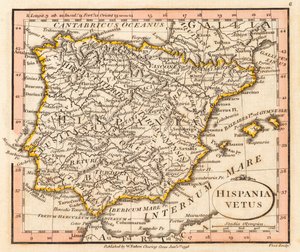
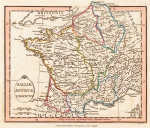
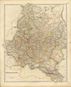
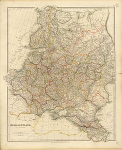
.jpg "General Map of European Russia and the Caucasian Countries")
.jpg "Map of France under the Reign of King Louis XVI from 1774 to 1793 (Plate from")
.jpg "Map of France depicting the departmental divisions, 1798")
.jpg "Church and Cottage with Lighted Windows")
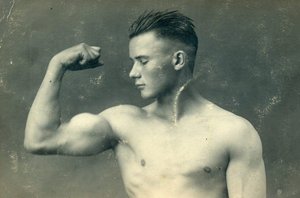
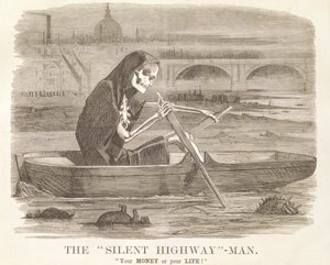
.jpg "Portrait of King Richard III")
 c1740-50 - (MeisterDrucke-77045).jpg "Kidbrooke Park, Kent, formerly attributed to George Lambert (1700-65) c.1740-50")
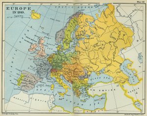
.jpg "Detailed Map of Gallipoli Peninsula and the Dardanelles, Turkey, 1915, from")
.jpg "Map of the world with possessions of the British Empire coloured red, c. 1870")
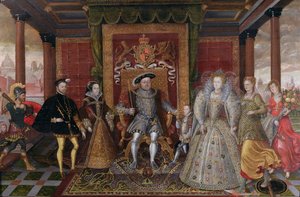
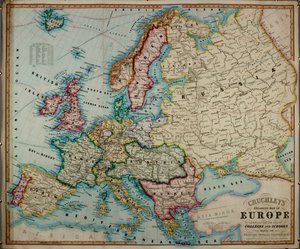
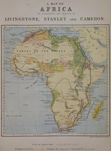
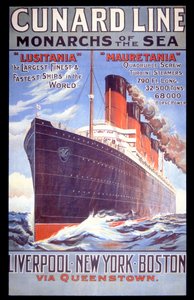
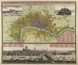
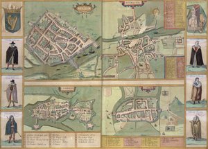
 - (MeisterDrucke-198293).jpg "Map of the Battle of Trafalgar, published by William Blackwood and Sons, Edinburgh and London, 1848")
.jpg "Map of Paris, 1620")
.jpg "Map of America and directions to China, believed to be a copy of a 16th-century original")
.jpg "Detail of the Right Bank, from the Map of Paris c. 1540, known as the Plan de la Tapisserie, made as a Tapestry c. 1570")
.jpg "The Site of Shakespeare")
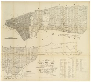
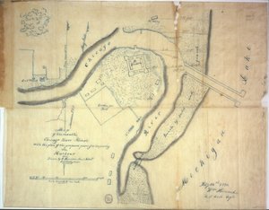
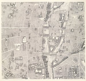
.jpg "Map Showing the Military Campaigns of Louis XIV in the Low Countries, from Atlas Géographique et Militaire, Published in Paris, 1763")
.jpg "Map of Mexico, illustration from „Civitates Orbis Terrarum“ by Georg Braun (1541-1622) and Frans Hogenberg (1535-90), c. 1572")
 - (MeisterDrucke-36081).jpg "Map of Charles V, map by Mecia de Viladestes, a portolan of Europe and North Africa, 1413")
.jpg "Map of English Colonies in the Caribbean, pub. by Homanns Heirs, Nuremberg, c.1750")
.jpg "A Map of St. James")
.jpg "Flowers on the windowsill")
.jpg "A Storm in the Rocky Mountains, Mt. Rosalie")
.jpg "White Waterlilies, 1899")
.jpg "Beautiful Princess")
.jpg "Winter Landscape with Skaters and a Bird Trap, 1565")
.jpg "Snow at Louveciennes, 1878")
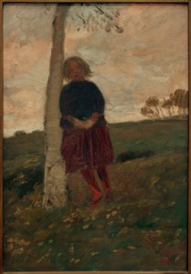


.jpg "The Crucifixion, from the Isenheim Altarpiece, c.1512-15")
.jpg "Girl with a Pearl Earring")
 - (MeisterDrucke-16196).jpg "Adele Bloch-Bauer")

 +43 4257 29415
 support@meisterdrucke.com
 Mo-Do: 7:00 - 16:00 | Fr: 7:00 - 13:00






