support@meisterdrucke.com  ·  0043 4257 29415

Deutsch English Italiano Español Français Nederlands Português Svenska Polski Dansk
Search by artist, work title or style – e.g. Monet, Starry Night, Impressionism, Hokusai wave, nude. Describe the scene – e.g. green meadow, abstract with lots of red, dark oil painting, standing nude next to a tree.

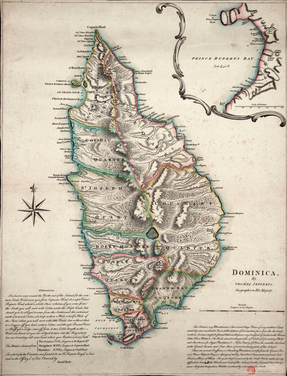
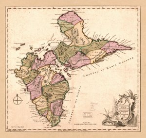
Colour Map of Dominica with Detailed Geographical Observations, c.1760 by Thomas Jefferys

Colour Map of Dominica with Detailed Geographical Observations, c.1760

(Colour map of Dominica with detailed geographical observations, c.1760 (hand coloured engraving))


Thomas Jefferys

€ 125.55
Tax-free
   Configure art print
1760  ·  hand coloured engraving  ·  Image ID: 1508729

Nonclassified artists

Colour Map of Dominica with Detailed Geographical Observations, c.1760 by Thomas Jefferys. Available as an art print on canvas, photo paper, watercolor board, natural paper, or Japanese paper.
18th century · cartography · colour · engraving · island · mzengraving · caribbean · dominican republic · · National Maritime Museum, London, UK / Bridgeman Images
AR/3D   View in 3D / AR zu Favoriten hinzufügen   Add to favorites    Change wall color    View picture in a room
0 Reviews

Configure art print

Picture Frame

Medium & Stretcher

Glass & Passepartout

Miscellaneous & Extras

 Save / compare configuration
Preview Icon

Summary

Gemälde
Veredelung
Keilrahmen
Museumslizenz

€ 125.55
(inkl. 20% MwSt)
   Add to cart

Bildschärfe: PERFEKT

If you'd like us to adjust the brightness, colors, or crop the image, we're happy to do this for you at no extra cost. Just get in touch!

Similar artworks selected for you

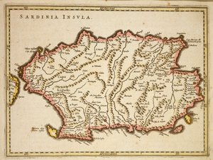
French Map Depicting the Defences of the Island at the Time of the French Invasion Map of Barbados, 1758 Map of the Kingdom of Sardinia (Italy) Sardinia, Italy Map of Barbados Island of Corsica divided into its provinces, engraving by G. Zuliani taken from Tome II of the Sardinia, Italy Map of Corsica Map of English Colonies in the Caribbean, published by Homanns Heirs, Nuremberg, c. 1750 Map of Corsica Corsica, France (engraving) Corsica from the Atlas of Wilhelm Blaeu. Amsterdam 17th century. Map of the Caribbean Island of Guadeloupe, c1764 Territory of Pisa, Engraving by G. Zuliani from the Newest Atlas Map of the Island of Jamaica, divided into its Principal Parishes c.1760 Land Area of the State of the Veneto: Brescia, Engraving by G. Zuliani from the Newest Atlas Hither Calabria, engraving by G. Zuliani from Island of Sicily, divided into its valleys Guadaloupe, One of the Caribbee Islands Subject to France in the West Indies The Islands of Guadeloupe, Marie-Galante, La Desirade, and the Isles des Saintes, French colonies in the Antilles, from Guadaloupe, One of the Caribbee Islands Subject to France in the West Indies A New Plan of the Island of Grenada by Paterson Detailed map of the island of Martinique in the West Indies. Engraving by Matthew Seutter (1678-1757), 18th century, Chartres, Musée des Beaux-Arts Map of the Caribbean Island of Martinique Governances of Dauphin, Provence, County of Venaissin and Principate of Orange Map of the Caribbean island of St Christopher, c1764 Sardinia, Italy The Island of Martinique, from “Atlas de Toutes les Parties Connues du Globe Terrestre” by Guillaume Raynal (1713-96), published 1780 Map of Sardinia Region
Show more similar artworks

More art prints by Thomas Jefferys

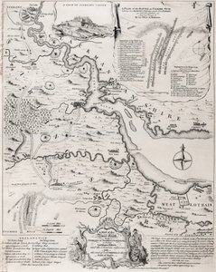
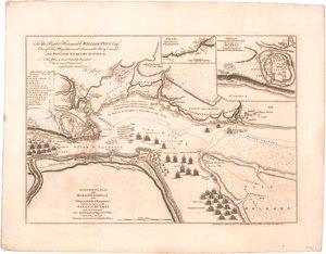
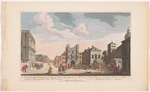
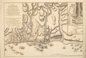
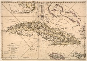
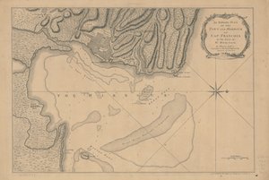
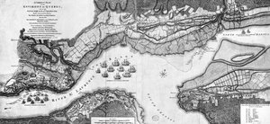
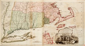
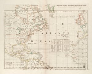
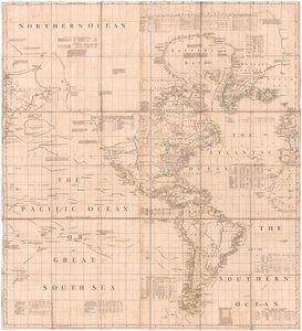
The Battle of Falkirk, 28 January 1746 A Plan of River St. Laurence by Jeffreys View of the Banqueting House and Horse Guards Building in London Plan of the Attack against Basse-Terre on the Island of Guadeloupe by a Squadron of His Majesty Guadaloupe, One of the Caribbee Islands Subject to France in the West Indies The British Virgin Islands (Engraved by Georges-Louis Le Rouge, 1779) Colour Map of Dominica with Detailed Geographical Observations, c.1760 Map of Cuba, Bahama Islands, Gulf of Florida, and Windward Passage An Authentic Plan of the Town and Harbour of Cap-François in the Isle of St. Domingo A Correct Plan of the environs of Quebec and of the battle fought on 13th September, 1759 The Atlantic or Western Ocean from the West-India Atlas, 1775 A Map of the Most Inhabited Part of New England, Containing the Provinces of Massachusetts Bay and New Hampshire with the Colonies of Connecticut and Rhode Island Guadaloupe, One of the Caribbee Islands Subject to France in the West Indies Chart of the Atlantic Ocean, with the British, French & Spanish settlements in North America and the West Indies A Map of Atlantic-Pacific
Show more works by Thomas Jefferys

A selection of our top sellers

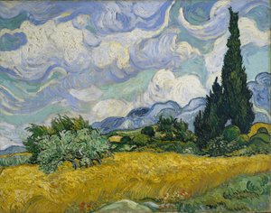
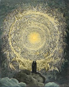
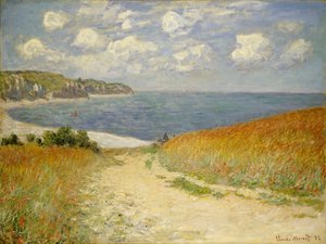
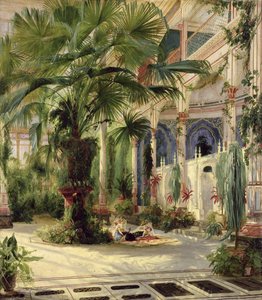
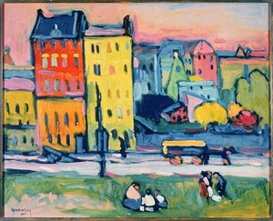
Turkish Café Sunset on the Seine at Lavacourt, Winter Effect Wheat Field with Cypresses Spring in the Environs of Paris, Apple Blossom, 1879 The Divine Comedy, Paradiso, Canto 31: The saintly throng form a rose in the empyrean (celestial rose) - by Dante Alighieri (1265-1321) Path in the Wheat at Pourville, 1882 The Artist Princess Tuvstarr Is Still Sitting There Wistfully Looking into the Water, 1913 Luncheon on the Grass In Bed: The Kiss, 1892 Landscape with Church and Path Song of Shambhala, 1943 Interior of the Palm House at Potsdam, 1833 Houses in Munich, 1908 Kingfisher by the Waterside
Show more artworks


What our customers think about us


Frequently Asked Questions about Meisterdrucke


Personalizing your art print at Meisterdrucke is simple and intuitive: Choose a frame, set the image size, pick a printing medium, and add suitable glazing or a stretcher frame. We also offer additional customization options like mats, fillets, and spacers. If you have any questions, our customer service team is ready to help you create your perfect artwork.

At Meisterdrucke, you can visualize your configured artwork directly in your own room. Simply upload a photo of your space and see how the artwork looks in it. If you're visiting us on a mobile device — phone or tablet — our augmented reality feature brings the picture to life and projects it right into your room. A unique experience that combines art and technology.

Choosing the right medium is often a matter of personal taste. To give you a better idea, we've provided some images for each medium. We also offer a sample set of all paper variants, so you can decide not just visually but by touch as well. You can order the sample set free of charge — only shipping costs apply.

Don't worry! At Meisterdrucke, we don't just process orders mechanically. Every order is manually reviewed by our team. If we spot any inconsistencies or issues with your configuration, we'll get in touch with you right away. And of course, our friendly and patient support team is always here to help you with your configuration. We'll work with you by phone or email to adjust your image so the final result is exactly what you had in mind.


Still have questions?

Are you interested in an art print from our manufactory but still unsure? Do you need advice on choosing the medium or help with the order?

Our experts are happy to assist you.

+43 4257 29415
support@meisterdrucke.com

Mo-Do: 7:00 - 16:00 | Fr: 7:00 - 13:00

Still have questions?

Are you interested in an art print from our manufactory but still unsure? Do you need advice on choosing the medium or help with the order?

Our experts are happy to assist you.

+43 4257 29415
support@meisterdrucke.com
Mo-Do: 7:00 - 16:00 | Fr: 7:00 - 13:00


Meisterdrucke

   Kärntner Strasse 46
        9586 Finkenstein am Faaker See
        Austria
        +43 4257 29415
        support@meisterdrucke.com
Other languages

                   
Erfahrungen & Bewertungen zu Meisterdrucke
Post.at DHL Express Quehenberger Cargoboard
Kaiser Franz Joseph

Meisterdrucke
Kärntner Strasse 46
9586 Finkenstein am Faaker See · Austria
+43 4257 29415 · support@meisterdrucke.com
Post.at DHL Express Quehenberger Cargoboard


(c) 2026 meisterdrucke.uk