-
 ×
- Home
- Art Prints ▸
- Artists ▸
- Categories ▸
- Art Styles ▸
- Picture Frame ▸
- All decorative frames
- Baroque decorative frames
- Simple decorative frames
- Rustic decorative frames
- Floating frames
- Golden decorative frames
- Silver decorative frames
- White decorative frames
- Black decorative frames
- Wood-look decorative frames
- Shabby chic decorative frames
- Thin decorative frames
- Thick decorative frames
- Print Media ▸
- All print media
- Canvas Leonardo (satin)
- Canvas Salvador (matte)
- Canvas Raphael (matte)
- FineArt Photo Matte
- FineArt Photo Satin
- FineArt Photo Baryte
- FineArt Photo Glossy
- Watercolor Paper Munch
- Watercolor Paper Renoir
- Watercolor Paper Turner
- Watercolor Paper Dürer
- Natural Line Hemp
- Natural Line Rice
- Kozo White, 110g
- Kozo Natural, 110g
- Inbe White, 125g
- Unryu, 55g
- Bamboo, 110g
- Premio Unryu, 165g
- Murakumo Natural, 42g
- Bizan Natural, 300g
- Bizan White, 300g
- Aluminum composite 3mm
- Acrylic glass 5mm
- Order Sample Set
- Which print medium is right for you?
Canvas
Photo Paper
Watercolor Board
Natural Line
Japanese Paper
Special Media
More information
- Help & Service ▸
- Contact us
- Sell your art
- Frequently Asked Questions
- Job Openings
- Complaint
- Order Samples
- Order Vouchers
- Shipping costs
- Production time
- Sustainability
- Image research
- Special requests
- Who are we?
- Pricing policy
- Company policy
- Quality promise
- Awards
- Stretcher frame
- Mats
- Decorative frames
- Glazing
- Fillets
- Mounting systems
- Print media
- Care tips
- Legal Notice
- Terms & Conditions
- Privacy Policy
- Right of Cancellation
Info & Service
More information
Good to know
Legal information
- Shop ▸
- Contact




 View in 3D / AR
 Add to favorites
 Change wall color
 View picture in a room
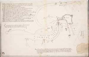
.jpg "A Survey of English Harbour in the Island of Antigua made by Order of Commissioner Laforey in 1783")
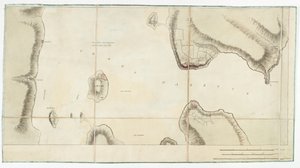
 from Guerre de lAmerique c1780-81 (colour engraving) - (MeisterDrucke-119739).jpg "Reconnaissance of King")


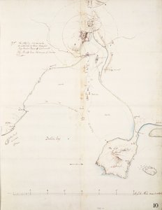
.jpg "Map of the Skøyen Farm, Østre Aker, with the Farm")
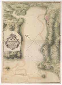
.jpg "Map of Cronenbourg - Kronenburg Dahlem")
.jpg "Disposition of British Troops, with Fortifications North of Fort Knipehausen to Fort Independence")
.jpg "Topographical chart of the battlefield of the Little Big Horn")
.jpg "Plan for the Battle of the Nile, from The Life of Nelson by Robert Southey")

 - (MeisterDrucke-96101).jpg "Rye and Winchelsea Castle")


.jpg "Head of a skeleton with a burning cigarette")
.jpg "Seated Nude from the Back")
.jpg "The Gull")

.jpg "Boy with a Crow")
.jpg "Paris Street; Rainy Day")
.jpg "Sunlight in the Blue Room")

 +43 4257 29415
 support@meisterdrucke.com
 Mo-Do: 7:00 - 16:00 | Fr: 7:00 - 13:00






