support@meisterdrucke.com  ·  0043 4257 29415

Deutsch English Italiano Español Français Nederlands Português Svenska Polski Dansk
Search by artist, work title or style – e.g. Monet, Starry Night, Impressionism, Hokusai wave, nude. Describe the scene – e.g. green meadow, abstract with lots of red, dark oil painting, standing nude next to a tree.

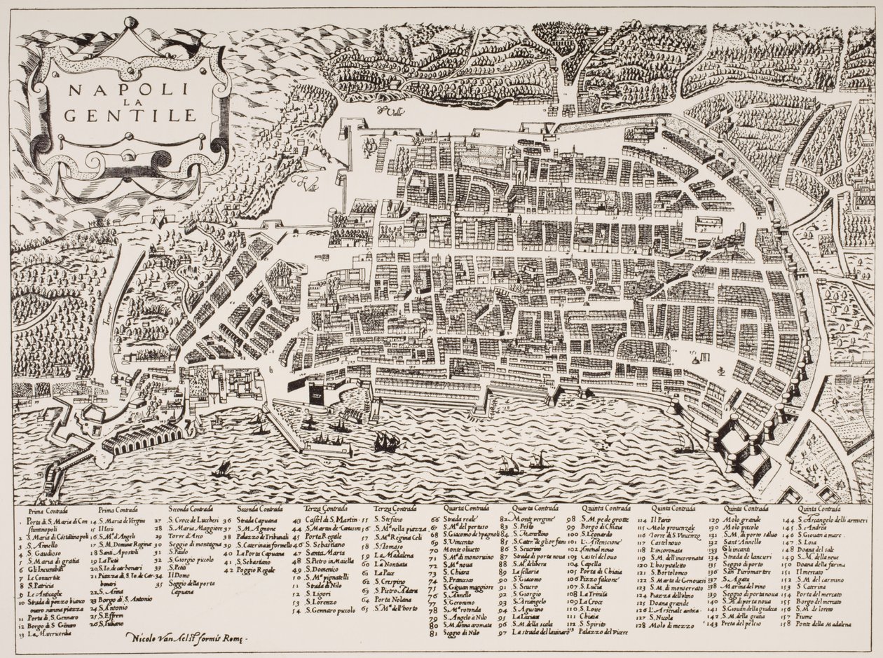
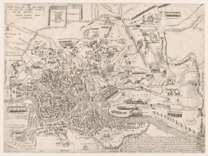
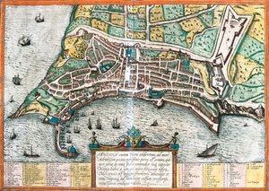
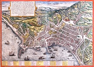
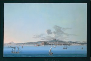
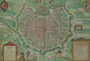
Map of Naples, c. 1600 by Italian School

Map of Naples, c. 1600

(Map of Naples, c.1600 )


Italian School

€ 127.04
Tax-free
   Configure art print
Undated  ·  engraving  ·  Image ID: 72795

Cultural Circles  ·  Cartography

Map of Naples, c. 1600 by Italian School. Available as an art print on canvas, photo paper, watercolor board, natural paper, or Japanese paper.
city · aerial view · port · harbour · neapolis · neapolitan · campania · layout · southern italy · ship · boat · boats · Private Collection / Bridgeman Images
AR/3D   View in 3D / AR zu Favoriten hinzufügen   Add to favorites    Change wall color    View picture in a room
0 Reviews

Configure art print

Picture Frame

Medium & Stretcher

Glass & Passepartout

Miscellaneous & Extras

 Save / compare configuration
Preview Icon

Summary

Gemälde
Veredelung
Keilrahmen
Museumslizenz

€ 127.04
(inkl. 20% MwSt)
   Add to cart

Bildschärfe: PERFEKT

If you'd like us to adjust the brightness, colors, or crop the image, we're happy to do this for you at no extra cost. Just get in touch!

Similar artworks selected for you

Antiquae Urbis Perfecta Imago, Map of Rome, c. 1600 Survey of London St Paul Port and Town of Algiers, c.1572 Map of Padua, from "Les Villes de Venétie", 1704, published by Pierre Mortier in Amsterdam Map of Rome. Lower right part Map of Palermo, from Plan of the City of Rome: sheet 9 with the Piazza Navona, the Campo di Fiore and the Sant..., 1645 General view of the city of Vienna with detail of the main buildings and monuments. Austria Engraving from 1800 Private Collection Speculum Romanae Magnificentiae: Plan of Ancient Rome St. Pauls and Neighbourhood, 1897 Plan of Ancona (Ancona), Italy Ancona, Italy Detail of the Tower of London, from ”Civitas Londinum”, map of London, 1560 Map of Pisa Plan of Venice The Siege of Colchester by the Lord Fairfax, as it was with the line and outworks 1648 Map of London, showing the bear baiting garden in Southwark, c. 1561 Plan of London, c. 1560-70 Map of Trento, from Les Villes de Venetie, 1704, published by Pierre Mortier in Amsterdam Map of the Island of Voorne and Plan of Brielle, 1572 Panoramic view of Canterbury in the sixteenth century, illustration from The Church of England: A History for the People by H.D.M. Spence-Jones Map of Ancona Unknown Image Map of Galway, Dublin, Limerick and Cork from Civitates Orbis Terrarum Map of Rome, upper right part Naples, Italy Plan of Naples (Neapolis), Italy Map of the city of Ferrara
Show more similar artworks

More art prints by Italian School

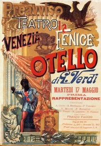
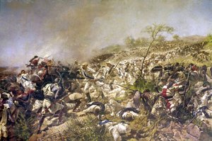
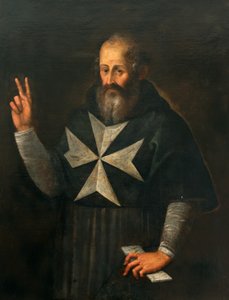
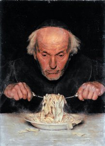
Fra Mauro map Otello: Poster for the first performance of Verdi Battle of Dogali: Italy in Eritrea in February 1887. Bishop Gargallo The Pasta Eater Master del San Francesco Bardi. Florentine school of the first half of the 13th century. Altarpiece of Saint Francis of Assisi. Scenes from the life of Saint Francis. Bardi Chapel. General View of Naples from Sea Portrait of Petrarch (Francesco Petrarca) (1304-74) A Sea Serpent, from The witches on their way to the Sabbath: one is on a black cat, another on a broom, and the third carries an elixir on a dragon. Engraving Facsimile of the School of Salerno, from the Canon of Medicine by Avicenna (Ibn Sina) (980-1037) Portrait of Giuseppe Mazzini Nude man seen from the rear, late 17th century The Great Chain of Being from Add 15760 f.68v-69 Map of the world, from "Insularium Illustratum", by Enrico Martello, being an account of the islands, chiefly of the Mediterranean, with coloured plans, Italian, c.1470
Show more works by Italian School

More motifs from the category Cartography

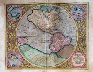
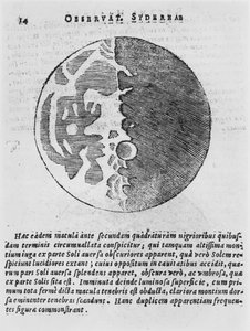
Map of Britain in 626, from The Northumbrian Kingdom 588 to 685 in Map of the Travels of Abraham, Isaac and Jacob, 1652 Typus Orbis Terrarum, map of the world, from Ortelius Map of English Colonies in the Caribbean, published by Homanns Heirs, Nuremberg, c. 1750 Map of the Holy Land, published in Amsterdam, 1629 Plan and map of the town and citadel of Mont-Louis, 1776 Map of Central and South America, from Map Charting the Movement of the Earth and Planets, from Map of Galicia with the route of the French army and a log, from the campaign in January, 1809 Map of Milan, from Civitates Orbis Terrarum by Georg Braun (1541-1622) and Frans Hogenburg (1535-90), c. 1572 World Map by Abraham Ortelius (1527-1598) Map of the moon, illustration from Sidereus Nuncius by Galileo Galilei, 1610 A New and Correct Map of the World, 1770-97 Map of countries first discovered by Christopher Columbus (1451-1506), 1500 Map of Europe and Africa, from the ‘Sala del Mappamondo’ (Hall of the World Maps)
View More from "Cartography"

A selection of our top sellers

The Water Lily Pond, Green Reflections View of a Harbour Ascending Road Landscape with Church and Path Whimsical, 1930 Caresses, 1896 Saviour. From the Deesis tier The Dolphin Fresco in the Queen A Pathway in Monet Hylas and the Nymphs Evening at the Iris Field Cypresses, 1889 Eldena Abbey Ruins near Greifswald The Portrait of Giovanni Arnolfini and his Wife (The Arnolfini Marriage) View of Houses in Delft, Known as The Little Street
Show more artworks


What our customers think about us


Frequently Asked Questions about Meisterdrucke


Personalizing your art print at Meisterdrucke is simple and intuitive: Choose a frame, set the image size, pick a printing medium, and add suitable glazing or a stretcher frame. We also offer additional customization options like mats, fillets, and spacers. If you have any questions, our customer service team is ready to help you create your perfect artwork.

At Meisterdrucke, you can visualize your configured artwork directly in your own room. Simply upload a photo of your space and see how the artwork looks in it. If you're visiting us on a mobile device — phone or tablet — our augmented reality feature brings the picture to life and projects it right into your room. A unique experience that combines art and technology.

Choosing the right medium is often a matter of personal taste. To give you a better idea, we've provided some images for each medium. We also offer a sample set of all paper variants, so you can decide not just visually but by touch as well. You can order the sample set free of charge — only shipping costs apply.

Don't worry! At Meisterdrucke, we don't just process orders mechanically. Every order is manually reviewed by our team. If we spot any inconsistencies or issues with your configuration, we'll get in touch with you right away. And of course, our friendly and patient support team is always here to help you with your configuration. We'll work with you by phone or email to adjust your image so the final result is exactly what you had in mind.


Still have questions?

Are you interested in an art print from our manufactory but still unsure? Do you need advice on choosing the medium or help with the order?

Our experts are happy to assist you.

+43 4257 29415
support@meisterdrucke.com

Mo-Do: 7:00 - 16:00 | Fr: 7:00 - 13:00

Still have questions?

Are you interested in an art print from our manufactory but still unsure? Do you need advice on choosing the medium or help with the order?

Our experts are happy to assist you.

+43 4257 29415
support@meisterdrucke.com
Mo-Do: 7:00 - 16:00 | Fr: 7:00 - 13:00


Meisterdrucke

   Kärntner Strasse 46
        9586 Finkenstein am Faaker See
        Austria
        +43 4257 29415
        support@meisterdrucke.com
Other languages

                   
Erfahrungen & Bewertungen zu Meisterdrucke
Post.at DHL Express Quehenberger Cargoboard
Kaiser Franz Joseph

Meisterdrucke
Kärntner Strasse 46
9586 Finkenstein am Faaker See · Austria
+43 4257 29415 · support@meisterdrucke.com
Post.at DHL Express Quehenberger Cargoboard


(c) 2026 meisterdrucke.uk