support@meisterdrucke.com  ·  0043 4257 29415

Deutsch English Italiano Español Français Nederlands Português Svenska Polski Dansk
Search by artist, work title or style – e.g. Monet, Starry Night, Impressionism, Hokusai wave, nude. Describe the scene – e.g. green meadow, abstract with lots of red, dark oil painting, standing nude next to a tree.

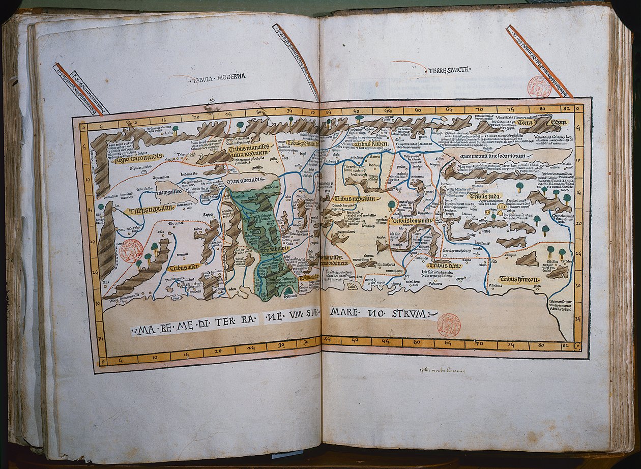
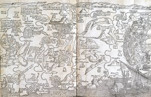
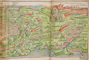
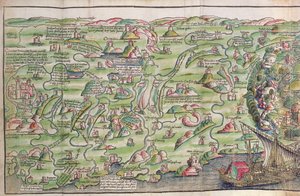
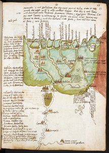
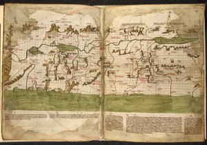
Inc. 425 Map of the Holy Land, based on descriptions and co-ordinates given in Cosmographica, by Ptolemy (Claudius Ptolemaeus of Alexandria) (c. 90-168 AD), published in Ulm, Germany, by Johann Reger fo by German School

Inc. 425 Map of the Holy Land, based on descriptions and co-ordinates given in Cosmographica, by Ptolemy (Claudius Ptolemaeus of Alexandria) (c. 90-168 AD), published in Ulm, Germany, by Johann Reger fo

(Inc. 425 Map of the Holy Land, based on descriptions and co-ordinates given in Cosmographica, by Ptolemy (Claudius Ptolemaeus of Alexandria) (c.90-168 AD) published in Ulm, Germany, by Johann Reger fo)


German School

€ 128.55
Tax-free
   Configure art print
1486  ·  colour engraving  ·  Image ID: 426252

Cultural Circles  ·  Cartography

Inc. 425 Map of the Holy Land, based on descriptions and co-ordinates given in Cosmographica, by Ptolemy (Claudius Ptolemaeus of Alexandria) (c. 90-168 AD), published in Ulm, Germany, by Johann Reger fo by German School. Available as an art print on canvas, photo paper, watercolor board, natural paper, or Japanese paper.
geographer · astrologer · egyptian · geography · geographia · terra sancta · terre sainte · israel · palestine · Bibliotheque Mazarine, Paris, France / Bridgeman Images
AR/3D   View in 3D / AR zu Favoriten hinzufügen   Add to favorites    Change wall color    View picture in a room
0 Reviews

Configure art print

Picture Frame

Medium & Stretcher

Glass & Passepartout

Miscellaneous & Extras

 Save / compare configuration
Preview Icon

Summary

Gemälde
Veredelung
Keilrahmen
Museumslizenz

€ 128.55
(inkl. 20% MwSt)
   Add to cart

Bildschärfe: PERFEKT

If you'd like us to adjust the brightness, colors, or crop the image, we're happy to do this for you at no extra cost. Just get in touch!

Similar artworks selected for you

Map of the Holy Land Ms. Lat. 463, fol. 81v-82r, Map of Gaul, Belgium, Lyon and Aquitaine Ms Lat 463 f.111v-112r Map of Phoenicia, Mesopotamia and Babylon Map, illustration from "The Liber Insularum Archipelagi" Africa - in Cosmographia, Fol 662-663, 1544 Plan of Hormuz, from the Portuguese manuscript, the Livro do Estado da India Oriental of Pedro Barreto de Resende Venice, Illustration from Cosmographia, by Sebastian Munster Map of Palestine - in Map of the City of Jerusalem, from Nova Poloniae delineation Map of Poland Geographia by Ptolemy Itinerary Map Showing the Route Between London and Naples, from Matthew Paris A map of Europe, West Asia and North Africa, projected from the north looking south Map of North-eastern Brazil Portuguese illustration of Goa, from the manuscript Livro do Estado da India Oriental of Pedro Barreto de Resende, Sloane MS 197 Map of Scotland by John Harding, c.1450 Map of Sarmatia From: Rudimenta Cosmographica A Plan or View of Muscat Map of the City of Jerusalem, from “Peregrinatio in Terram Sanctam” by Bernhard von Breydenbach (1440-97) Wall map of the Turkish Campaign of 1529 by Johann Haselberg and Christoph Zell, Nuremberg Europe, from Cosmographia, 1544 Ischia, 1642 Map of Salzburg diocese, Austria, from Theatrum Orbis Terrarum Map of Africa, plate 18 from an Atlas of the World, 1486 The Siege of Calais, 1558 Map of England and Wales, from the Map of Lower Egypt, from the Notebook of Sir Walter Raleigh, c.1606-08 Add 15760 f.68v-69 Map of the world, from "Insularium Illustratum", by Enrico Martello, being an account of the islands, chiefly of the Mediterranean, with coloured plans, Italian, c.1470
Show more similar artworks

More art prints by German School

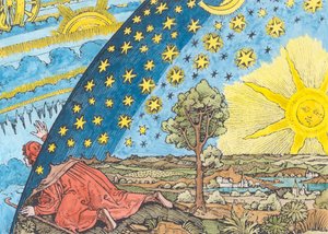
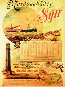
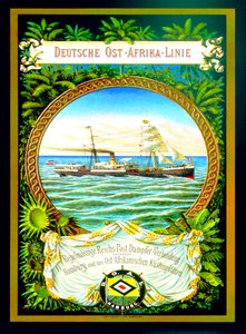
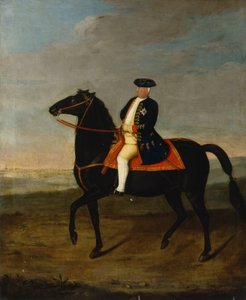
Wyk on Föhr, advertising poster for the Wyk Steam Shipping Company, 1897 Poster for the Industrial Exhibition in Berlin, Germany, 1896 Ms 1942 The Cosmic Spheres and Human Being, vision of Hildegard of Bingen from "Liber Divinorum Operum", c.1220-30 Arthur Schopenhauer, 1884-90 St. Brendan and a Siren, from the German translation of Navigatio Sancti Brendani Abbatis, c. 1476 Portrait of Kaiser Wilhelm II (1859-1941) Fantastic Depiction of the Solar System (later colouration) Sylt North Sea Baths, advertising poster for the Sylt Steamship Company, 1893 The Whore of Babylon, from the Luther Bible, c. 1530 (coloured woodcut) Poster advertising the German East Africa Line, 1890 Elk, 1860 King Frederick William I on Horseback with Potsdam in the Background, c.1735 Prince Otto von Bismarck-Schönhausen, 8 February 1891 Hildegard of Bingen The Choir of Angels. Miniature from Liber Scivias by Hildegard of Bingen, c. 1175
Show more works by German School

More motifs from the category Cartography

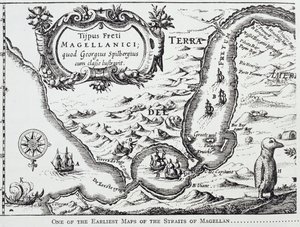
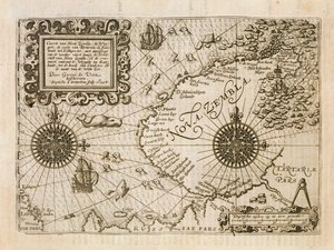
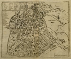
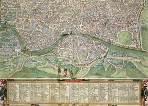
Map of Britain in 658, produced by Stanford’s Geographical Establishment Map of Lisbon, from Copy of an 8th-century Beatus mappa mundi Map of the Battle of Borodino, published by William Blackwood and Sons, Edinburgh and London, 1848 Map of Montpellier, from One of the earliest maps of the Straits of Magellan, from “The Romance of the River Plate”, Vol. I, by W. H. Koebel, 1914 Map of Central and South America, from Map of the newly discovered Nova Zembla, illustration from Diarium Nauticum, seu vera descriptio trium navigationum admirandarum... by Gerrit de Veer, 1598 Map of Mexico and Central America, from the The Sea of Galilee, from an Atlas of the World in 33 Maps, Venice, 1st September 1553 Map of Vicenza, illustration from “Civitates Orbis Terrarum”, c. 1580 Map of Rome, from Historical Map of Berlin, published by Verlag von Gebrüder Rocca, Berlin 1838 Map of Rome, from Map of India, published by William Blackwood and Sons, Edinburgh and London, 1848
View More from "Cartography"

A selection of our top sellers

The Fall of the Damned into Hell Night: A Port in the Moonlight, 1748 Isle of the Dead, 1883 A luncheon. The artist, his wife and the writer Otto Benzon Death Urinating Poster for the 14th Exhibition of Vienna Secession, 1902 Ponte Fabricio On the High Seas, Sunset at Pourville, 1882 Judith with the Head of Holofernes Quai du Louvre The Seasons: Spring, 1896 Sack of Rome (455) - The Course of Empire - Destruction - 1836 - New York Historical Society - (Rome, Roman Empire, Gaiseric, Genseric, Migration Period, Barbarian Invasions, Vandals, Fall of Western Roman Empire, Fall of Rome, Sack of Rome) A Coign of Vantage, 1895 Autumn Sun and Trees Beaulieu: The Bay of Fourmis, 1892
Show more artworks


What our customers think about us


Frequently Asked Questions about Meisterdrucke


Personalizing your art print at Meisterdrucke is simple and intuitive: Choose a frame, set the image size, pick a printing medium, and add suitable glazing or a stretcher frame. We also offer additional customization options like mats, fillets, and spacers. If you have any questions, our customer service team is ready to help you create your perfect artwork.

At Meisterdrucke, you can visualize your configured artwork directly in your own room. Simply upload a photo of your space and see how the artwork looks in it. If you're visiting us on a mobile device — phone or tablet — our augmented reality feature brings the picture to life and projects it right into your room. A unique experience that combines art and technology.

Choosing the right medium is often a matter of personal taste. To give you a better idea, we've provided some images for each medium. We also offer a sample set of all paper variants, so you can decide not just visually but by touch as well. You can order the sample set free of charge — only shipping costs apply.

Don't worry! At Meisterdrucke, we don't just process orders mechanically. Every order is manually reviewed by our team. If we spot any inconsistencies or issues with your configuration, we'll get in touch with you right away. And of course, our friendly and patient support team is always here to help you with your configuration. We'll work with you by phone or email to adjust your image so the final result is exactly what you had in mind.


Still have questions?

Are you interested in an art print from our manufactory but still unsure? Do you need advice on choosing the medium or help with the order?

Our experts are happy to assist you.

+43 4257 29415
support@meisterdrucke.com

Mo-Do: 7:00 - 16:00 | Fr: 7:00 - 13:00

Still have questions?

Are you interested in an art print from our manufactory but still unsure? Do you need advice on choosing the medium or help with the order?

Our experts are happy to assist you.

+43 4257 29415
support@meisterdrucke.com
Mo-Do: 7:00 - 16:00 | Fr: 7:00 - 13:00


Meisterdrucke

   Kärntner Strasse 46
        9586 Finkenstein am Faaker See
        Austria
        +43 4257 29415
        support@meisterdrucke.com
Other languages

                   
Erfahrungen & Bewertungen zu Meisterdrucke
Post.at DHL Express Quehenberger Cargoboard
Kaiser Franz Joseph

Meisterdrucke
Kärntner Strasse 46
9586 Finkenstein am Faaker See · Austria
+43 4257 29415 · support@meisterdrucke.com
Post.at DHL Express Quehenberger Cargoboard


(c) 2026 meisterdrucke.uk