support@meisterdrucke.com  ·  0043 4257 29415

Deutsch English Italiano Español Français Nederlands Português Svenska Polski Dansk
Search by artist, work title or style – e.g. Monet, Starry Night, Impressionism, Hokusai wave, nude. Describe the scene – e.g. green meadow, abstract with lots of red, dark oil painting, standing nude next to a tree.

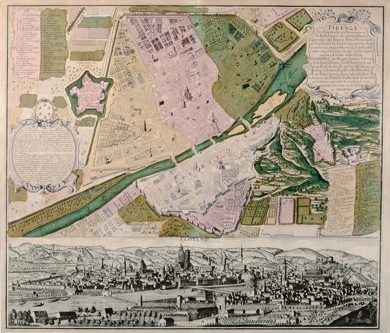
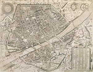
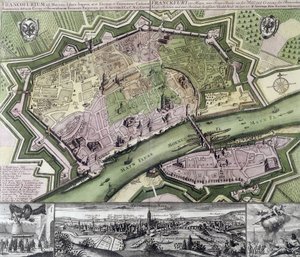
Map of Florence with a Perspectival View, 1750 by Georg Matthäus Seutter

Map of Florence with a Perspectival View, 1750

(Map of Florence with a Perspectival View, 1750 )


Georg Matthäus Seutter

€ 116.25
Tax-free
   Configure art print
1750  ·  engraving  ·  Image ID: 274507

Nonclassified artists  ·  Cartography

Map of Florence with a Perspectival View, 1750 by Georg Matthäus Seutter. Available as an art print on canvas, photo paper, watercolor board, natural paper, or Japanese paper.
print · city · Museo di Firenze Com'era, Florence, Italy / Bridgeman Images
AR/3D   View in 3D / AR zu Favoriten hinzufügen   Add to favorites    Change wall color    View picture in a room
0 Reviews

Configure art print

Picture Frame

Medium & Stretcher

Glass & Passepartout

Miscellaneous & Extras

 Save / compare configuration
Preview Icon

Summary

Gemälde
Veredelung
Keilrahmen
Museumslizenz

€ 116.25
(inkl. 20% MwSt)
   Add to cart

Bildschärfe: PERFEKT

If you'd like us to adjust the brightness, colors, or crop the image, we're happy to do this for you at no extra cost. Just get in touch!

Similar artworks selected for you

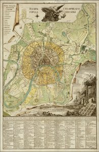
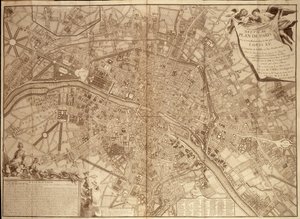
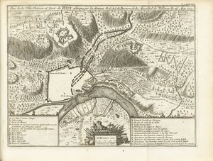
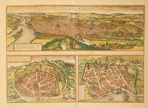
Map of Frankfurt View of the Electoral Residence City of Mannheim View of the Electoral Prince Turin, Italy Map of Petersburg Luxembourg, a Very Famous Fortress of the Duchy of This Name in the Netherlands Luxembourg, a Very Famous Fortress of the Duchy of This Name in the Low Countries Map of Florence, 1783 Map of Saint Petersburg Plan of Paris, 1676 Map and Prospect of London, c. 1710 Nuova pianta di Roma by Giambattista Nolli, 1748, known as La Pianta Grande di Roma Map of the city of Rome, engraved by the artist, 1557 Map of Düsseldorf, 1736 Town Plan of Rome, 1730 Map of Berlin showing buildings of interest, 1773 Namur and the surrounding area, from Atlas de Louis XIV. Plans des places etrangeres, 1665 Map of Florence, 1595 Siege of Béthune, 1710 Speculum Romanae Magnificentiae: Plan of Ancient Rome City map of Orleans, France Interactive Viewer Sheet 16 from: An exact survey of the cities of London and Westminster, the Borough of Southwark, with the country near ten miles round 1789 Map of Moscow by Ivan Marchenkov The New Plan of the City of Philadelphia and its Environs, 1802 9th Plan of Paris Under Louis XV (in Siege of Huy, 1705 Map of Rouen, Nimes and Bordeaux from Civitates Orbis Terrarum by Georg Braun Map of the City of Florence
Show more similar artworks

More art prints by Georg Matthäus Seutter

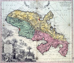
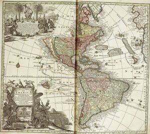
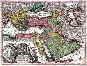
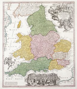
Detailed map of the island of Martinique in the West Indies. Engraving by Matthew Seutter (1678-1757), 18th century, Chartres, Musée des Beaux-Arts Map of Silesia, from an Atlas Map of the Americas, 1744 Map of Alsace, Baden, Sundgau and Breisgau Map of the Ottoman Empire A Map of England, 1760 Map of the Austrian Empire, c. 1750 Map of Strasbourg, capital of Alsace Map of Northern Germany, from an Atlas Map of the world, 1744 Map of Africa, from Atlas Minor, published in Augsburg, first half of eighteenth century Map of Bavaria, c.1757 Map of the world and celestial planisphere Map of Martinique created by Matthieu Seutter, details: Merchants and Native American Indian Heligoland (detail)
Show more works by Georg Matthäus Seutter

More motifs from the category Cartography

Ms. 986, Vol. 1, Plan and Map of Cambrai, from the “Atlas Louis XIV”, 1683-88 Map of New Belgium and New England, published in Amsterdam c.1640 A Map of the Route Hannibal took through Gaul and over the Alps into Italy Map of Epirus for “Andromache” by Jean Racine, from Volume I of “Research on the Costumes and Theatre of All Nations”, 1802 Map of Granada, from Map of Charleston, South Carolina, 3 August 1781 Map No. 3 Showing the Route of the Armada Fleet, engraved by Augustine Ryther, 1588 Hull, detail from the map of the North and East Ridings of Yorkshire, engraved by Jodocus Hondius (1563-1612) from John Speed’s ’Theatre of the Empire of Great Britain’, published by John Sudbury and Georg Map of Ancient Egypt, 1584 Map of Arras, from Map of Europe, published in 1700, Paris Fan with maple design A Map of The King Map of Laputa (flying island top right) and Balnibarbii (main port Maldonada) from Part III: A Voyage to Laputa, Balnibarbi, Luggnagg, Glubbdubdrib, and Japan in Gulliver Map of America and directions to China, believed to be a copy of a 16th-century original
View More from "Cartography"

A selection of our top sellers

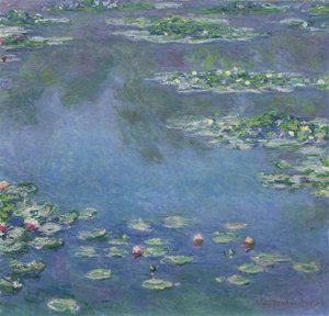
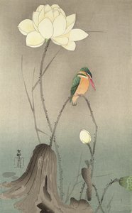
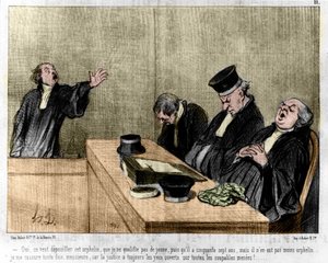
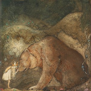
Midsummer Eve The Creation of the World, depicting the cosmic sphere of the earth (Bubble). Reverse of the wings of the triptych "The Garden of Earthly Delights". Painting by Hieronymus Van Aeken (Aken), known as Hieronymus Bosch (1450-1516) P. Mönsted, Sunny Forest Stream Mystical Head: Head of a Girl, 1918 Water Lilies, 1906 A Kingfisher and a Lotus, c.1910 Man and Woman, Embrace Free Curve to the Point - Accompanying Sound of Geometric Curves, 1925 “Mary Rose” Cartoon by Daumier: Series “Les Gens de justice”, published in “Charivari” of 15/08/1845. A lawyer pleading in court while sleeping. The Heart of the Andes The Great Red Dragon and the Woman Clothed with the Sun Alpine Hut in Rainy Weather, 1850 The Roses of Heliogabalus Poor Little Bear!, 1912
Show more artworks


What our customers think about us


Frequently Asked Questions about Meisterdrucke


Personalizing your art print at Meisterdrucke is simple and intuitive: Choose a frame, set the image size, pick a printing medium, and add suitable glazing or a stretcher frame. We also offer additional customization options like mats, fillets, and spacers. If you have any questions, our customer service team is ready to help you create your perfect artwork.

At Meisterdrucke, you can visualize your configured artwork directly in your own room. Simply upload a photo of your space and see how the artwork looks in it. If you're visiting us on a mobile device — phone or tablet — our augmented reality feature brings the picture to life and projects it right into your room. A unique experience that combines art and technology.

Choosing the right medium is often a matter of personal taste. To give you a better idea, we've provided some images for each medium. We also offer a sample set of all paper variants, so you can decide not just visually but by touch as well. You can order the sample set free of charge — only shipping costs apply.

Don't worry! At Meisterdrucke, we don't just process orders mechanically. Every order is manually reviewed by our team. If we spot any inconsistencies or issues with your configuration, we'll get in touch with you right away. And of course, our friendly and patient support team is always here to help you with your configuration. We'll work with you by phone or email to adjust your image so the final result is exactly what you had in mind.


Still have questions?

Are you interested in an art print from our manufactory but still unsure? Do you need advice on choosing the medium or help with the order?

Our experts are happy to assist you.

+43 4257 29415
support@meisterdrucke.com

Mo-Do: 7:00 - 16:00 | Fr: 7:00 - 13:00

Still have questions?

Are you interested in an art print from our manufactory but still unsure? Do you need advice on choosing the medium or help with the order?

Our experts are happy to assist you.

+43 4257 29415
support@meisterdrucke.com
Mo-Do: 7:00 - 16:00 | Fr: 7:00 - 13:00


Meisterdrucke

   Kärntner Strasse 46
        9586 Finkenstein am Faaker See
        Austria
        +43 4257 29415
        support@meisterdrucke.com
Other languages

                   
Erfahrungen & Bewertungen zu Meisterdrucke
Post.at DHL Express Quehenberger Cargoboard
Kaiser Franz Joseph

Meisterdrucke
Kärntner Strasse 46
9586 Finkenstein am Faaker See · Austria
+43 4257 29415 · support@meisterdrucke.com
Post.at DHL Express Quehenberger Cargoboard


(c) 2026 meisterdrucke.uk