support@meisterdrucke.com  ·  0043 4257 29415

Deutsch English Italiano Español Français Nederlands Português Svenska Polski Dansk
Search by artist, work title or style – e.g. Monet, Starry Night, Impressionism, Hokusai wave, nude. Describe the scene – e.g. green meadow, abstract with lots of red, dark oil painting, standing nude next to a tree.

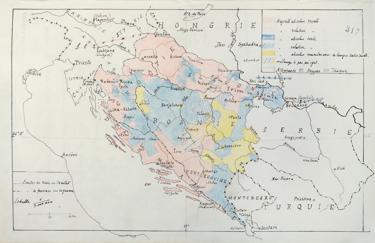
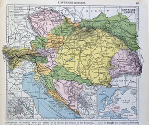
Map of Bosnia with details of the areas occupied by minority ethnic groups, 1910 by French School

Map of Bosnia with details of the areas occupied by minority ethnic groups, 1910

(Map of Bosnia with details of the areas occupied by minority ethnic groups, 1910 (pen, ink & wc))


French School

€ 125.42
Tax-free
   Configure art print
1910  ·  pen, ink and watercolour  ·  Image ID: 439389

Cultural Circles  ·  Cartography

Map of Bosnia with details of the areas occupied by minority ethnic groups, 1910 by French School. Available as an art print on canvas, photo paper, watercolor board, natural paper, or Japanese paper.
croat · croatia · herzegovina · minorities · yugoslavia · serbie · serbia · trieste · hertsegovine · herzegovina · montenegro · turkey · turquie · balkans · balkan · race · racial groups · Archives du Ministere des Affaires Etrangeres, Paris, France / Bridgeman Images
AR/3D   View in 3D / AR zu Favoriten hinzufügen   Add to favorites    Change wall color    View picture in a room
0 Reviews

Configure art print

Picture Frame

Medium & Stretcher

Glass & Passepartout

Miscellaneous & Extras

 Save / compare configuration
Preview Icon

Summary

Gemälde
Veredelung
Keilrahmen
Museumslizenz

€ 125.42
(inkl. 20% MwSt)
   Add to cart

Bildschärfe: PERFEKT

If you'd like us to adjust the brightness, colors, or crop the image, we're happy to do this for you at no extra cost. Just get in touch!

Similar artworks selected for you

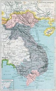
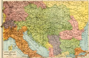
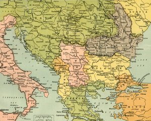
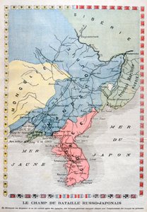
Map of the Austro-Hungarian Empire, illustration from a French geography school textbook, 1905 Central Europe showing the historic sites and battlefields of 1792-1813 - engraving in Spread of the Armenias After Supan, Cuinet, Selenoy etc Map of China and Japan. In the Middle of the 19th Century. French school textbook map of Indochina, 1905 Austria-Hungary and Neighbouring Lands - Map, 1920 Map To Illustrate the Eastern Battle Fronts, 1919 Map of the Russo-Japanese War Map of France: Geological France - in Map of France in 987 Map of the Balkan Peninsula, 1902 Map of Europe after the Peace of Tilsit in 1807, from Poland and the Partitions of 1772, 1793 & 1795, c. 1920 New Universal Geography The Balkan States After the Wars of 1912-13, c1920 Feudalism - France Feodale a l Map of Spain at the times of Germanic Hispania, 409-585 (Engraving from Map of the Byzantine Empire during the occupation of Bulgarians and Italy during the reign of Otto I, Otto II and Otto III Map of the Theatre of the War in China, 1900 The Mongolian Empire from 12th-15th Century, c1903, 1904 Feudal France at the time of the accession of Hugues Capet in 987, map illustrated in a Histoire de France, c. 1880 Map of France - in Volkerkarte von Russland. 1881 A Map of the Extent of the Hanseatic League in About 1400 Map of the extent of the Hanseatic League in about 1400 Unknown Image Gaul divided into Roman provinces - Plate extracted from Turkey in Asia Map of Holland and Belgium, 1902
Show more similar artworks

More art prints by French School

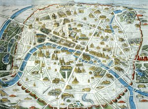
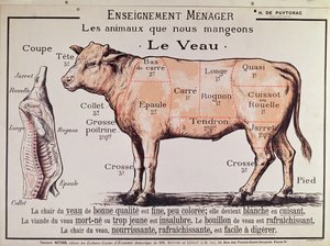
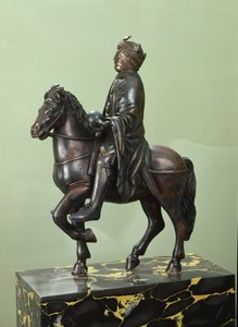
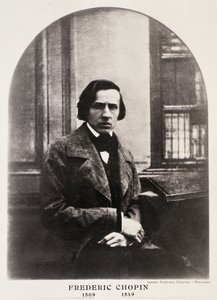
Manuscript 69 f. 48r, Birth of Jesus, from the Book of Hours of the "Master of Jacques de Besançon" Genealogical tree of the Rougon-Macquart family The Carte du Tendre, a map of an imaginary country, from volume II of Beef: diagram depicting the different cuts of meat Poster advertising the Baron Hotel in Aleppo, c. 1920 The Shield of Achilles, after the description in Homer Reproduction of Map of Routes of St. James of Compostela, originally engraved by D. Serveaux 1648 Poster advertising Pur Champagne, from Damery, Épernay "The Man with Six Heads", caricature of Charles Maurice de Talleyrand-Périgord (1754-1838), 1815 Lyrics to «La Marseillaise». Image of Épinal Cuts of Pork, illustration from a French Domestic Science Manual by H. de Puytorac, published by Éditions Fernand Nathan, late 19th century Map of Paris depicting the city Veal: diagram depicting the different cuts of meat Equestrian statue of Charlemagne (742-814) Frédéric Chopin (1810-49) engraved from a daguerreotype
Show more works by French School

More motifs from the category Cartography

Map of Paris, 1620 (detail of 285193) Map of Southern Africa, published in Strasbourg in 1522 A New Map of the Kingdom of England and the Principality of Wales, 1669 Loggan Double Hemisphere World Map, 1587 Renaissance map of Europe, after Jacopo Russo, 1528 Map of Charleston, South Carolina, 3 August 1781 Map of the world, 1486 Map of Southern Italy, Corsica, and Sardinia known in Ancient Times as Great Greece or Magna Graecia, early 18th century Fol. 30v Map of the Sea of Maluku, from the Map of Jerusalem and the surrounding area, from Map of Central Europe, from the Map of Oxford, 1643 World Map, from Map of St. Petersburg, c. 1750
View More from "Cartography"

A selection of our top sellers

The Kiss The Magic Circle The Absinthe Drinkers, 1908 Flowering Garden in Spring The sleeping Jesus, or Madonna holding the sleeping Child, accompanied by three angels, 1532 The Lady of Shalott Farm Garden The times of day: The evening, 1821-1822 Standing Nude with Orange Drapery, 1914 Untitled No. 1 from a Series of Altar Paintings, 1915 Alpine Landscape at Sunset The Japanese Bridge The Roses, 1925-26 Blue, 1922 Two Men Contemplating the Moon
Show more artworks


What our customers think about us


Frequently Asked Questions about Meisterdrucke


Personalizing your art print at Meisterdrucke is simple and intuitive: Choose a frame, set the image size, pick a printing medium, and add suitable glazing or a stretcher frame. We also offer additional customization options like mats, fillets, and spacers. If you have any questions, our customer service team is ready to help you create your perfect artwork.

At Meisterdrucke, you can visualize your configured artwork directly in your own room. Simply upload a photo of your space and see how the artwork looks in it. If you're visiting us on a mobile device — phone or tablet — our augmented reality feature brings the picture to life and projects it right into your room. A unique experience that combines art and technology.

Choosing the right medium is often a matter of personal taste. To give you a better idea, we've provided some images for each medium. We also offer a sample set of all paper variants, so you can decide not just visually but by touch as well. You can order the sample set free of charge — only shipping costs apply.

Don't worry! At Meisterdrucke, we don't just process orders mechanically. Every order is manually reviewed by our team. If we spot any inconsistencies or issues with your configuration, we'll get in touch with you right away. And of course, our friendly and patient support team is always here to help you with your configuration. We'll work with you by phone or email to adjust your image so the final result is exactly what you had in mind.


Still have questions?

Are you interested in an art print from our manufactory but still unsure? Do you need advice on choosing the medium or help with the order?

Our experts are happy to assist you.

+43 4257 29415
support@meisterdrucke.com

Mo-Do: 7:00 - 16:00 | Fr: 7:00 - 13:00

Still have questions?

Are you interested in an art print from our manufactory but still unsure? Do you need advice on choosing the medium or help with the order?

Our experts are happy to assist you.

+43 4257 29415
support@meisterdrucke.com
Mo-Do: 7:00 - 16:00 | Fr: 7:00 - 13:00


Meisterdrucke

   Kärntner Strasse 46
        9586 Finkenstein am Faaker See
        Austria
        +43 4257 29415
        support@meisterdrucke.com
Other languages

                   
Erfahrungen & Bewertungen zu Meisterdrucke
Post.at DHL Express Quehenberger Cargoboard
Kaiser Franz Joseph

Meisterdrucke
Kärntner Strasse 46
9586 Finkenstein am Faaker See · Austria
+43 4257 29415 · support@meisterdrucke.com
Post.at DHL Express Quehenberger Cargoboard


(c) 2026 meisterdrucke.uk