support@meisterdrucke.com  ·  0043 4257 29415

Deutsch English Italiano Español Français Nederlands Português Svenska Polski Dansk
Search by artist, work title or style – e.g. Monet, Starry Night, Impressionism, Hokusai wave, nude. Describe the scene – e.g. green meadow, abstract with lots of red, dark oil painting, standing nude next to a tree.

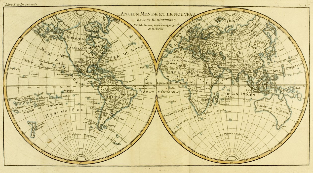
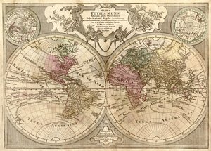
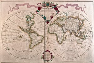
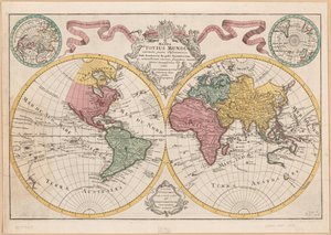
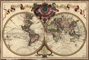
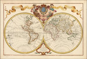
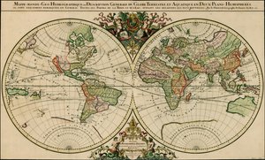
Map of the World in Two Hemispheres, from 'Atlas de Toutes les Parties Connues du Globe Terrestre' by Guillaume Raynal (1713-96), published in Geneva, 1780 by Charles Marie Rigobert Bonne

Map of the World in Two Hemispheres, from 'Atlas de Toutes les Parties Connues du Globe Terrestre' by Guillaume Raynal (1713-96), published in Geneva, 1780

(Map of the World in two Hemispheres, from 'Atlas de Toutes les Parties Connues du Globe Terrestre' by Guillaume Raynal (1713-96) published Geneva, 1780 )


Charles Marie Rigobert Bonne

€ 115.77
Tax-free
   Configure art print
1780  ·  coloured engraving  ·  Image ID: 73269

Nonclassified artists  ·  Cartography

Map of the World in Two Hemispheres, from 'Atlas de Toutes les Parties Connues du Globe Terrestre' by Guillaume Raynal (1713-96), published in Geneva, 1780 by Charles Marie Rigobert Bonne. Available as an art print on canvas, photo paper, watercolor board, natural paper, or Japanese paper.
america · continent · ocean · longitude · latitude · hemisphere · Private Collection / Bridgeman Images
Other color versions of this image  
AR/3D   View in 3D / AR zu Favoriten hinzufügen   Add to favorites    Change wall color    View picture in a room
0 Reviews

Configure art print

Picture Frame

Medium & Stretcher

Glass & Passepartout

Miscellaneous & Extras

 Save / compare configuration
Preview Icon

Summary

Gemälde
Veredelung
Keilrahmen
Museumslizenz

€ 115.77
(inkl. 20% MwSt)
   Add to cart

Bildschärfe: PERFEKT

If you'd like us to adjust the brightness, colors, or crop the image, we're happy to do this for you at no extra cost. Just get in touch!

Similar artworks selected for you

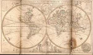
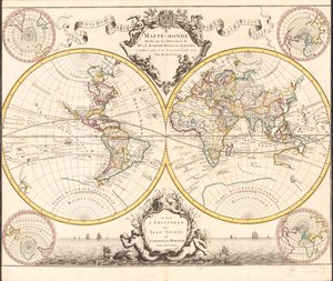
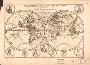
1691 Map of the World A new and correct map of the world laid down according to the newest discoveries and from the most exact observations Map of the Two Hemispheres Map of the Whole World - Adorned According to the Observations of the Royal Academy of Sciences and Some Others According to the Latest Annotations World Map, Drawn from Observations of the Royal Academy of Sciences and Others World Map or General Map of the Earth The world, by A.H. Jaillot in General Map of the Earth Two hemispheres Relief shown pictorially. Includes notes. Illustrations include images of the Garden of Eden and the Last Judgment and four allegorical figures in the corners of the sheet. Assembled from 4 sheets. LC copy in two sheets, mounted together on cloth. Fold lin Two Hemisphere World Map A Map of the World, Corrected from the Observations Communicated to the Royal Societies of London and Paris, to the Right Honourable Richard Boyle, 1711 Relief Shown Pictorially A New and Correct Map of the World Laid Down According to the Newest Discoveries and from the Most Exact Observations, 1736 World Map Map of the Whole World A New and Correct Map of the World, Laid Down According to the Newest Discoveries, and from the Most Exact Observations, by Herman Moll, Geographer Hydrography or Description of Water, That is to Say, of Seas, Gulfs, Lakes, Straits, and Main Rivers on the Surface of the Earth Composite World Atlas Terrestrial Globe World Map for the King Map of the World A Map of the World, on which is Delineated the Voyages of Robinson Crusoe Planisphere World 1720 Map of the World - Mappemonde a l Map of the world and celestial planisphere
Show more similar artworks

More art prints by Charles Marie Rigobert Bonne

Map of the World using the Mercator Projection, from Map of Independent Tartary, comprising the land of the Kalmyks, that of the Uzbeks, and Turkestan Map of the Russian Empire, in Europe and Asia, from Map of the World in Two Hemispheres, from The Philippines, Formosa, South China, the Kingdoms of Tonkin, Cochin China, Cambodia, Siam, Laos, and Part of Those of Pegu and Ava Arabia, the Persian Gulf and the Red Sea, with Egypt, Nubia and Abyssinia, from ’Atlas de Toutes les Parties Connues du Globe Terrestre’ by Guillaume Raynal (1713-96), published in Geneva, 1780 Chile, from the South of Peru to Cape Horn, from Northern Brazil, from Northern India, from Persia, Georgia and Independent Tartary, from South America, from West Africa, from Germany, Bohemia and Hungary, with Part of Poland, from Independent Tartary West Coast of Africa, from Lisbon to Sierra Leone, from
Show more works by Charles Marie Rigobert Bonne

More motifs from the category Cartography

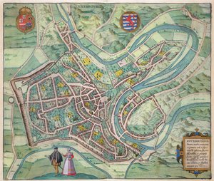
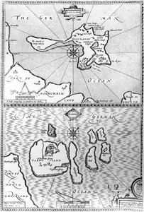
Map of the Moluccas, 1522 Map of Africa, engraved by Thomas Stirling Map of Exeter, from Civitates Orbis Terrarum by Georg Braun (1541-1622) and Frans Hogenberg (1535-90), c. 1572-1617 Map of Sixteenth Century Europe, from the Map of Cambridgeshire, published Amsterdam c.1647-48 Map of the city of Siam, capital of the kingdom of that name after a survey done by a French engineer in 1687, published in the 1751 edition of Histoire Générale des Voyages by Antoine Prévost Map of the Battle of Stockach, published by William Blackwood and Sons, Edinburgh and London, 1848 Map of Barth, from Map of Luxembourg, from ’Civitates Orbis Terrarum’ by Georg Braun (1541-1622) and Frans Hogenberg (1535-90), c. 1572-1617 Map of Ireland Maps of Holy Island and Farne Island, Northumberland, from MS CCC 2* f.2v Map of Palestine Map of Phillipsburg, from Fol. 34v, Map of Australia, from Map of New France dedicated to Colbert by Duchesneau, Intendant, 1681
View More from "Cartography"

A selection of our top sellers

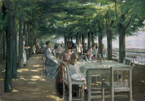
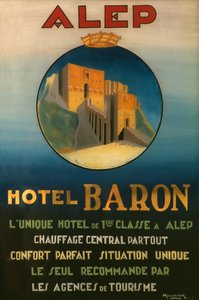
A stroll on the beach Marine Solitude, 1852 Two Reclining Figures The Terrace at the Restaurant Jacob in Nienstedten on the Elbe The Red Tree Poster advertising the Baron Hotel in Aleppo, c. 1920 Two Men Contemplating the Moon Irises The Roundel in the Hedge Garden with a Flower Waterer Salvator Mundi Red Balloon, 1922 A Vase of Roses, 1890 Joan of Arc, 1879 Flowering Front Garden Ad Parnassum
Show more artworks


What our customers think about us


Frequently Asked Questions about Meisterdrucke


Personalizing your art print at Meisterdrucke is simple and intuitive: Choose a frame, set the image size, pick a printing medium, and add suitable glazing or a stretcher frame. We also offer additional customization options like mats, fillets, and spacers. If you have any questions, our customer service team is ready to help you create your perfect artwork.

At Meisterdrucke, you can visualize your configured artwork directly in your own room. Simply upload a photo of your space and see how the artwork looks in it. If you're visiting us on a mobile device — phone or tablet — our augmented reality feature brings the picture to life and projects it right into your room. A unique experience that combines art and technology.

Choosing the right medium is often a matter of personal taste. To give you a better idea, we've provided some images for each medium. We also offer a sample set of all paper variants, so you can decide not just visually but by touch as well. You can order the sample set free of charge — only shipping costs apply.

Don't worry! At Meisterdrucke, we don't just process orders mechanically. Every order is manually reviewed by our team. If we spot any inconsistencies or issues with your configuration, we'll get in touch with you right away. And of course, our friendly and patient support team is always here to help you with your configuration. We'll work with you by phone or email to adjust your image so the final result is exactly what you had in mind.


Still have questions?

Are you interested in an art print from our manufactory but still unsure? Do you need advice on choosing the medium or help with the order?

Our experts are happy to assist you.

+43 4257 29415
support@meisterdrucke.com

Mo-Do: 7:00 - 16:00 | Fr: 7:00 - 13:00

Still have questions?

Are you interested in an art print from our manufactory but still unsure? Do you need advice on choosing the medium or help with the order?

Our experts are happy to assist you.

+43 4257 29415
support@meisterdrucke.com
Mo-Do: 7:00 - 16:00 | Fr: 7:00 - 13:00


Meisterdrucke

   Kärntner Strasse 46
        9586 Finkenstein am Faaker See
        Austria
        +43 4257 29415
        support@meisterdrucke.com
Other languages

                   
Erfahrungen & Bewertungen zu Meisterdrucke
Post.at DHL Express Quehenberger Cargoboard
Kaiser Franz Joseph

Meisterdrucke
Kärntner Strasse 46
9586 Finkenstein am Faaker See · Austria
+43 4257 29415 · support@meisterdrucke.com
Post.at DHL Express Quehenberger Cargoboard


(c) 2026 meisterdrucke.uk