support@meisterdrucke.com  ·  0043 4257 29415

Deutsch English Italiano Español Français Nederlands Português Svenska Polski Dansk
Search by artist, work title or style – e.g. Monet, Starry Night, Impressionism, Hokusai wave, nude. Describe the scene – e.g. green meadow, abstract with lots of red, dark oil painting, standing nude next to a tree.

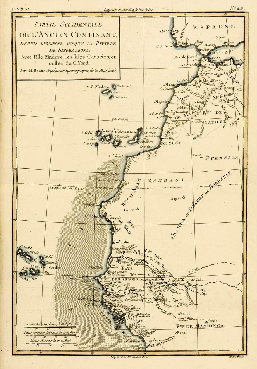
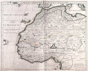
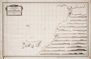
West Coast of Africa, from Lisbon to Sierra Leone, from ’Atlas de Toutes les Parties Connues du Globe Terrestre’ by Guillaume Raynal (1713-96), published in Geneva, 1780 by Charles Marie Rigobert Bonne

West Coast of Africa, from Lisbon to Sierra Leone, from ’Atlas de Toutes les Parties Connues du Globe Terrestre’ by Guillaume Raynal (1713-96), published in Geneva, 1780

(West Coast of Africa, from Lisbon to Sierra Leone, from 'Atlas de Toutes les Parties Connues du Globe Terrestre' by Guillaume Raynal (1713-96) published Geneva, 1780 )


Charles Marie Rigobert Bonne

€ 133.83
Tax-free
   Configure art print
1780  ·  coloured engraving  ·  Image ID: 39545

Nonclassified artists  ·  Cartography

West Coast of Africa, from Lisbon to Sierra Leone, from ’Atlas de Toutes les Parties Connues du Globe Terrestre’ by Guillaume Raynal (1713-96), published in Geneva, 1780 by Charles Marie Rigobert Bonne. Available as an art print on canvas, photo paper, watercolor board, natural paper, or Japanese paper.
Private Collection / Bridgeman Images
AR/3D   View in 3D / AR zu Favoriten hinzufügen   Add to favorites    Change wall color    View picture in a room
0 Reviews

Configure art print

Picture Frame

Medium & Stretcher

Glass & Passepartout

Miscellaneous & Extras

 Save / compare configuration
Preview Icon

Summary

Gemälde
Veredelung
Keilrahmen
Museumslizenz

€ 133.83
(inkl. 20% MwSt)
   Add to cart

Bildschärfe: PERFEKT

If you'd like us to adjust the brightness, colors, or crop the image, we're happy to do this for you at no extra cost. Just get in touch!

Similar artworks selected for you

Northern Mexico, from Southern India and Ceylon, from Northern India, from Southern Africa, from Map of Cook Chile, from the South of Peru to Cape Horn, from A Map of the British and French Dominions in America Southern Mexico, from Map of Chile, Patagonia, Tierra del Fuego and the Falkland Islands, c.1798 Map of the Kingdom of Valencia and Murcia (Spain) South-east Coast of America, from Arabia, the Persian Gulf and the Red Sea, with Egypt, Nubia and Abyssinia, from ’Atlas de Toutes les Parties Connues du Globe Terrestre’ by Guillaume Raynal (1713-96), published in Geneva, 1780 Chart of the search for Sir John Franklin and discovery of the North West Passage Valencia and Castile, Spain French Guyana, with Part of Dutch Guyana, from North Africa, Including the Kingdoms of Tripoli, Tunis, Alger; Fez and Morocco, from Atlas de Toutes les Parties Connues du Globe Terrestre by Guillaume Raynal (1713-96) Published Geneva, 1780 West Africa, from Land of the Ottawa and Kilistine Indians Around Lake Superior and a Supplement of Eastern Florida, Engraving by G. Zuliani from Tome I of the "Newest Atlas" The Canary Islands, with Madeira and Porto Santo, from Guadaloupe, One of the Caribbee Islands Subject to France in the West Indies Map of Aegyptus Antiqua (Ancient Egypt), drawn and engraved by Sydney Hall, c. 1826 Rennell Guadaloupe, One of the Caribbee Islands Subject to France in the West Indies North-West Africa Map of the West Coast of Africa and the Canary Islands Map of the Coast of Tonkin and Cochinchina General Map Covering North Pacific Ocean and Adjacent Coastal Regions Map of Sea Discoveries by Russian Navigators in the Pacific and Arctic Oceans - Made in Various Years Chart of New Zealand, explored in 1769 and 1770 by Lieutenant J. Cook
Show more similar artworks

More art prints by Charles Marie Rigobert Bonne

Map of the World using the Mercator Projection, from Map of Independent Tartary, comprising the land of the Kalmyks, that of the Uzbeks, and Turkestan Arabia, the Persian Gulf and the Red Sea, with Egypt, Nubia and Abyssinia, from ’Atlas de Toutes les Parties Connues du Globe Terrestre’ by Guillaume Raynal (1713-96), published in Geneva, 1780 Map of the Russian Empire, in Europe and Asia, from The Island of Martinique, from “Atlas de Toutes les Parties Connues du Globe Terrestre” by Guillaume Raynal (1713-96), published 1780 Map of the World in Two Hemispheres, from The Chinese Empire, Chinese Tartary and the Kingdom of Korea, with the Islands of Japan, from Atlas de Toutes les Parties Connues du Globe Terrestre by Guillaume Raynal (1713-96), published 1780, colour Europe, from Northern India, from Northern Brazil, from South America, from Chile, from the South of Peru to Cape Horn, from North America, from Turkey, from Independent Tartary
Show more works by Charles Marie Rigobert Bonne

More motifs from the category Cartography

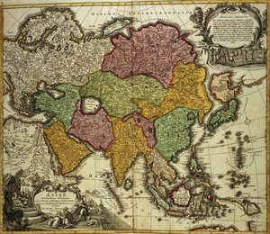
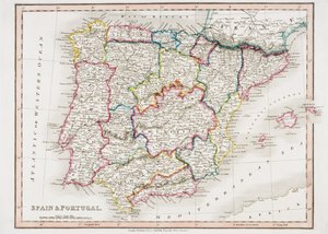
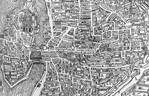
Double Hemisphere World Map, 1587 Map showing the Molucca Islands off Halmahera, 1640 Governmental and Legislative Map of France, printed by Ledoyen and Giret, Paris Map of the Turkish Empire, from the Mercator Atlas, published by Jodocus Hondius (1563-1612), Amsterdam, 1606 Detailed Map of Gallipoli Peninsula and the Dardanelles, Turkey, 1915, from Map of Amsterdam, from Map of the Island of Santo Domingo, from “Santo Domingo Past and Present” by Samuel Hazard, published 1873 The Triumph of the French Armies, Napoleon and his Generals Holding Maps of their Victories at the Time of the Peace of Loeben, 18th April 1797, c. 1797 Fol. 7v: Map of the North Pole, from Map for the Battle of Austerlitz, December 2nd, 1805 Holy Roman Emperor, Detail from a Renaissance Map of Europe, Jacopo Russo Map of Asia, Nuremberg, c.1730 Map of Córdoba, from Civitates Orbis Terrarum by Georg Braun (1541-1622) and Frans Hogenberg (1535-90), c. 1572-1617 Map of Spain and Portugal, from “Smith Detail from a Map of Paris in the Reign of Henri II Showing the Quartier des Ecoles, 1552
View More from "Cartography"

A selection of our top sellers

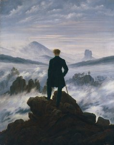
The Sistine Madonna Stein on the Danube (district of Krems) Game of Chess, 1555 Wanderer above the Sea of Fog, c. 1817 Mother Mushroom with her Children, c. 1900 Meadows near Greifswald The Japanese Bridge Breakfast under the big birch Danaë The Garden in Asgardstrand Mother of the World, 1924 View under the Grand Portico, Philae, from Egypt and Nubia, Vol. 1 Several Circles, 1926 The Foxes Snow at Benzaiten Shrine in the Pond of Inokashira, 1843-1847
Show more artworks


What our customers think about us


Frequently Asked Questions about Meisterdrucke


Personalizing your art print at Meisterdrucke is simple and intuitive: Choose a frame, set the image size, pick a printing medium, and add suitable glazing or a stretcher frame. We also offer additional customization options like mats, fillets, and spacers. If you have any questions, our customer service team is ready to help you create your perfect artwork.

At Meisterdrucke, you can visualize your configured artwork directly in your own room. Simply upload a photo of your space and see how the artwork looks in it. If you're visiting us on a mobile device — phone or tablet — our augmented reality feature brings the picture to life and projects it right into your room. A unique experience that combines art and technology.

Choosing the right medium is often a matter of personal taste. To give you a better idea, we've provided some images for each medium. We also offer a sample set of all paper variants, so you can decide not just visually but by touch as well. You can order the sample set free of charge — only shipping costs apply.

Don't worry! At Meisterdrucke, we don't just process orders mechanically. Every order is manually reviewed by our team. If we spot any inconsistencies or issues with your configuration, we'll get in touch with you right away. And of course, our friendly and patient support team is always here to help you with your configuration. We'll work with you by phone or email to adjust your image so the final result is exactly what you had in mind.


Still have questions?

Are you interested in an art print from our manufactory but still unsure? Do you need advice on choosing the medium or help with the order?

Our experts are happy to assist you.

+43 4257 29415
support@meisterdrucke.com

Mo-Do: 7:00 - 16:00 | Fr: 7:00 - 13:00

Still have questions?

Are you interested in an art print from our manufactory but still unsure? Do you need advice on choosing the medium or help with the order?

Our experts are happy to assist you.

+43 4257 29415
support@meisterdrucke.com
Mo-Do: 7:00 - 16:00 | Fr: 7:00 - 13:00


Meisterdrucke

   Kärntner Strasse 46
        9586 Finkenstein am Faaker See
        Austria
        +43 4257 29415
        support@meisterdrucke.com
Other languages

                   
Erfahrungen & Bewertungen zu Meisterdrucke
Post.at DHL Express Quehenberger Cargoboard
Kaiser Franz Joseph

Meisterdrucke
Kärntner Strasse 46
9586 Finkenstein am Faaker See · Austria
+43 4257 29415 · support@meisterdrucke.com
Post.at DHL Express Quehenberger Cargoboard


(c) 2026 meisterdrucke.uk