support@meisterdrucke.com  ·  0043 4257 29415

Deutsch English Italiano Español Français Nederlands Português Svenska Polski Dansk
Search by artist, work title or style – e.g. Monet, Starry Night, Impressionism, Hokusai wave, nude. Describe the scene – e.g. green meadow, abstract with lots of red, dark oil painting, standing nude next to a tree.

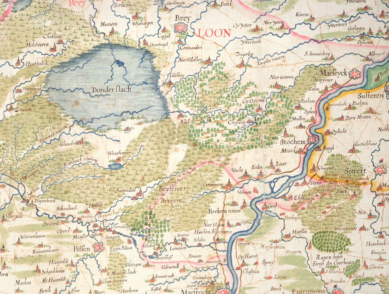
Map of Flanders at the time of the Thirty Years' War (1618-48), from 'Theatre des guerres entre le roy d'Espagne et les Estats de Hollande', known as the 'Atlas de Richelieu' by Arnold Florent van Langren

Map of Flanders at the time of the Thirty Years' War (1618-48), from 'Theatre des guerres entre le roy d'Espagne et les Estats de Hollande', known as the 'Atlas de Richelieu'

(Map of Flanders at the time of the Thirty Years war (1618-48), from 'Theatre des guerres entre le roy d'Espagne et les Estats de Hollande', known as the 'Atlas de Richelieu' )


Arnold Florent van Langren

€ 125.55
Tax-free
   Configure art print
Undated  ·  coloured engraving  ·  Image ID: 279381

Nonclassified artists  ·  Cartography

Map of Flanders at the time of the Thirty Years' War (1618-48), from 'Theatre des guerres entre le roy d'Espagne et les Estats de Hollande', known as the 'Atlas de Richelieu' by Arnold Florent van Langren. Available as an art print on canvas, photo paper, watercolor board, natural paper, or Japanese paper.
maastricht · pays bas · low countries · holland · Archives du Ministere des Affaires Etrangeres, Paris, France / Bridgeman Images
AR/3D   View in 3D / AR zu Favoriten hinzufügen   Add to favorites    Change wall color    View picture in a room
0 Reviews

Configure art print

Picture Frame

Medium & Stretcher

Glass & Passepartout

Miscellaneous & Extras

 Save / compare configuration
Preview Icon

Summary

Gemälde
Veredelung
Keilrahmen
Museumslizenz

€ 125.55
(inkl. 20% MwSt)
   Add to cart

Bildschärfe: PERFEKT

If you'd like us to adjust the brightness, colors, or crop the image, we're happy to do this for you at no extra cost. Just get in touch!

Similar artworks selected for you

Map of Belgium at the time of the Thirty Years Map of Lazio Region, from Theatrum Orbis Terrarum Typus Vindeliciae Ssive Utriusque Bavariae: Secundum Antiquam & Recentiorum Situm, ab Joanne Aventino Olim Descriptus... Geography Map of the Territory of Bavaria in Germany from State: Bavaria, Germany The Sea of Galilee, from an Atlas of the World in 33 Maps, Venice, 1st September 1553 Map of Friuli Venezia Giulia Region, from Theatrum Orbis Terrarum by Abraham Ortelius Map of Savoie, from Theatrum Orbis Terrarum by Abraham Ortelius The Course of the Rhine River in Westphalia, Germany Picardy, Nord-Pas de Calais, France Map of Wurttemberg, from Theatrum Orbis Terrarum by Abraham Ortelius Holy Land, Israel and Palestine: Sea of Galilee and the city of Tiberias, from Atlas of the World in thirty-three Maps, by Battista Agnese Map of Saxony, from Theatrum Orbis Terrarum Detail from Europe and Central Asia, from an Atlas of the World in 33 Maps, Venice, 1st September 1553 France, Switzerland, Italy Philipp Apian - Bavarian Maps of 1568 (Plate 19) State: Baden-Württemberg, Germany Germany, Austria Map of Bavaria, Germany, from Theatrum Orbis Terrarum by Abraham Ortelius Holy Land, Israel and Palestine: Jerusalem and the Dead Sea, from Atlas of the World in Thirty-Three Maps, by Battista Agnese Eastern Europe and Central Asia: Transilvania and Russia, from Atlas of the World in thirty-three Maps Bavarian Land Tables of 1568 (Table 14) Franciae Orientalis (Vulgo/Franckenlant) Descriptio, Auctore Sebast. A. Rotenhan. Geography Map of the Territory of Franconia in Germany with the City of Frankfurt (also the City of Karlstadt) Taken from Geography Map of Poland from Theatrum Orbis Terrarum by Abraham Ortelius North-east Egypt, Tunis, Egypt, Tunisia France, south Switzerland, Italy Italy, Austria, Slovenia, north Croatia, center-north Bosnia and Herzegovina State: North Rhine-Westphalia, Lower Saxony, Germany Poland, Lithuania, Belarus, South-West Russia, West Ukraine, North Moldova, Slovakia Nile river delta, Red Sea and Mount Sinai, from Atlas of the World in thirty-three Maps, by Battista Agnese
Show more similar artworks

More motifs from the category Cartography

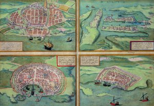
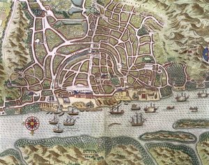
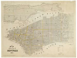
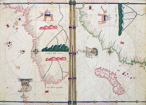
Map of Messina, from Map of the Travels and Expeditions of Alexander the Great (356-323 BC) in Asia Map of China and Burma, 1851 Map showing the route of the Armada fleet, engraved by Augustine Ryther, 1588 Map of Calais, Malta, Rhodes, and Famagusta, from Map of Brobdingnag, illustration from the first edition of Map of Raleigh Map of the City and Portuguese Port of Goa, India, detail of port and merchant shipping, 1595, engraving, detail of 110750 Ms 988 volume 3 fol.31 Map of Concarneau, from the ’Atlas Louis XIV’, 1683-88 Map of the City of New York, 1854 Ms. Ital. 550.0.3.15, fol. 4v-5r, Map of Africa and the Cape of Good Hope, from the Map showing the route of the Armada fleet, engraved by Augustine Ryther, 1588 7249 Esp.30 f.2v-3 Detail from a Catalan World Map, 1375 Map of the Battle of Bautzen, published by William Blackwood and Sons, Edinburgh and London, 1848 Map of Lower New York State and surrounding areas, c.1775
View More from "Cartography"

A selection of our top sellers

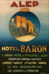
Yellow - Red - Blue Psyche entering Cupid Portrait of a young woman, 1896-97 Collage on a Black Background Peasant Wedding Animals in a Landscape, 1914 Falling Leaves The Magpie The Holy Trinity, 1420s Portrait of a Young Woman Bouquet of Sunflowers, 1881 Poster advertising the Baron Hotel in Aleppo, c. 1920 The Tortoise Trainer A Storm in the Rocky Mountains, Mt. Rosalie White Waterlilies, 1899
Show more artworks


What our customers think about us


Frequently Asked Questions about Meisterdrucke


Personalizing your art print at Meisterdrucke is simple and intuitive: Choose a frame, set the image size, pick a printing medium, and add suitable glazing or a stretcher frame. We also offer additional customization options like mats, fillets, and spacers. If you have any questions, our customer service team is ready to help you create your perfect artwork.

At Meisterdrucke, you can visualize your configured artwork directly in your own room. Simply upload a photo of your space and see how the artwork looks in it. If you're visiting us on a mobile device — phone or tablet — our augmented reality feature brings the picture to life and projects it right into your room. A unique experience that combines art and technology.

Choosing the right medium is often a matter of personal taste. To give you a better idea, we've provided some images for each medium. We also offer a sample set of all paper variants, so you can decide not just visually but by touch as well. You can order the sample set free of charge — only shipping costs apply.

Don't worry! At Meisterdrucke, we don't just process orders mechanically. Every order is manually reviewed by our team. If we spot any inconsistencies or issues with your configuration, we'll get in touch with you right away. And of course, our friendly and patient support team is always here to help you with your configuration. We'll work with you by phone or email to adjust your image so the final result is exactly what you had in mind.


Still have questions?

Are you interested in an art print from our manufactory but still unsure? Do you need advice on choosing the medium or help with the order?

Our experts are happy to assist you.

+43 4257 29415
support@meisterdrucke.com

Mo-Do: 7:00 - 16:00 | Fr: 7:00 - 13:00

Still have questions?

Are you interested in an art print from our manufactory but still unsure? Do you need advice on choosing the medium or help with the order?

Our experts are happy to assist you.

+43 4257 29415
support@meisterdrucke.com
Mo-Do: 7:00 - 16:00 | Fr: 7:00 - 13:00


Meisterdrucke

   Kärntner Strasse 46
        9586 Finkenstein am Faaker See
        Austria
        +43 4257 29415
        support@meisterdrucke.com
Other languages

                   
Erfahrungen & Bewertungen zu Meisterdrucke
Post.at DHL Express Quehenberger Cargoboard
Kaiser Franz Joseph

Meisterdrucke
Kärntner Strasse 46
9586 Finkenstein am Faaker See · Austria
+43 4257 29415 · support@meisterdrucke.com
Post.at DHL Express Quehenberger Cargoboard


(c) 2026 meisterdrucke.uk