support@meisterdrucke.com  ·  0043 4257 29415

Deutsch English Italiano Español Français Nederlands Português Svenska Polski Dansk
Search by artist, work title or style – e.g. Monet, Starry Night, Impressionism, Hokusai wave, nude. Describe the scene – e.g. green meadow, abstract with lots of red, dark oil painting, standing nude next to a tree.

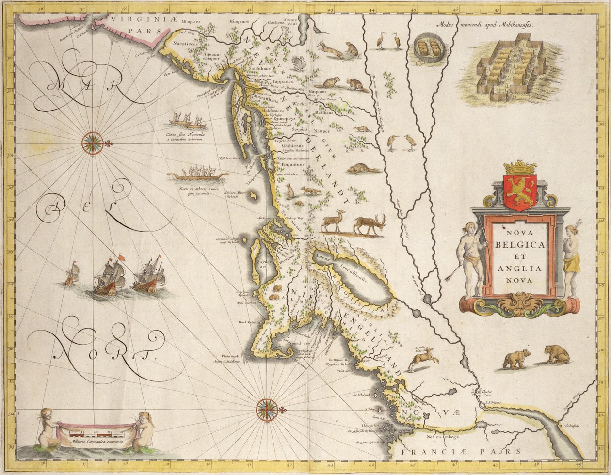
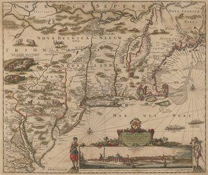
Map of New Belgium and New England, published in Amsterdam c.1640 by Joan Blaeu

Map of New Belgium and New England, published in Amsterdam c.1640

(Map of New Belgium and New England, pub. in Amsterdam c.1640 )


Joan Blaeu

€ 121.41
Tax-free
   Configure art print
Undated  ·  coloured engraving  ·  Image ID: 170311

Nonclassified artists  ·  Cartography

Map of New Belgium and New England, published in Amsterdam c.1640 by Joan Blaeu. Available as an art print on canvas, photo paper, watercolor board, natural paper, or Japanese paper.
upside down · new york · manhattan · dutch · ships · bears · fortress · mouth of the chesapeake · america · Private Collection / Bridgeman Images
Other color versions of this image  
AR/3D   View in 3D / AR zu Favoriten hinzufügen   Add to favorites    Change wall color    View picture in a room
0 Reviews

Configure art print

Picture Frame

Medium & Stretcher

Glass & Passepartout

Miscellaneous & Extras

 Save / compare configuration
Preview Icon

Summary

Gemälde
Veredelung
Keilrahmen
Museumslizenz

€ 121.41
(inkl. 20% MwSt)
   Add to cart

Bildschärfe: PERFEKT

If you'd like us to adjust the brightness, colors, or crop the image, we're happy to do this for you at no extra cost. Just get in touch!

Similar artworks selected for you

New and Accurate Map of the Bishoprics of Stavanger and Bergen New Netherland and New England, 1682 Freti Magellanici ac Novi Freti Vulgo Le Maire Exactissima Delineatio America, plate 17 from Pascaart van de Noort Zee verthoonende in zich alle de Custen en havens daer rontom gelegen Map of Virginia and Florida Map depicting the East Coast of North America, 1647 A New Map of the Sea Coasts of England, France and Holland Novi Belgii Map of Venetian Domain, from Regionum Italiae by Willem Blaeu, Engraving Map of Duchy of Monferrato, Engraving from Regionum Italiae Map of New Belgium with a View of New Amsterdam, compiled by Nicolaes Visscher (1618-1709), c. 1651-55 Region centered on Bilbao and extending from S Nice on the Mediterranean South of Calabria, Italy, in New Belgium, plate from Map of China, Japan and Korea North America The coast of England from the Southforeland to Orfordness The Novi Belgii Map of New York, New Jersey and Pennsylvania Tabula Magellanica: Map of Strait of Magellan Palestine and the Promised Land, from the ’Theatrum Orbis Terrarum’, 1603 Southeast, in The Last and Most Accurate Description of Jamaica Normandy, in Argentina, Chile, Strait of Magellan, Land of Fire, in From East Africa to the Tip of Ceylon
Show more similar artworks

More art prints by Joan Blaeu

Map of East Prussia, from Italy, Map of Pesaro, from Theatrum civitatum et admirandorum Italiae by Joan Blaeu, engraving Luxembourg, the capital of the Duchy Map of Spoleto from Theatrum civitatum et admirandorum Italiae, by Joan Blaeu Map of Virginia and Florida Map of New Belgium and New England, published in Amsterdam c.1640 Map of the travels of Alexander the Great (356-323 BC) from Map of Assisi from Theatrum civitatum et admirandorum Italiae, by Joan Blaeu Map of Europe from: Atlas Maior Map of the gold-bearing regions in Peru, from the Atlas Maior, Sive Cosmographia Blaviana, 1662 Map of Frankfurt and the surrounding area, from „Nova Hanc Territori Francofurtensis Tabulum“, 1649 Map of China, from ”Atlas Maior Sive Cosmographia Blaviana”, 1662 Map depicting the East Coast of North America, 1647 Map of Europe, 1686, by Joan Blaeu Map of Cambridgeshire, published Amsterdam c.1647-48
Show more works by Joan Blaeu

More motifs from the category Cartography

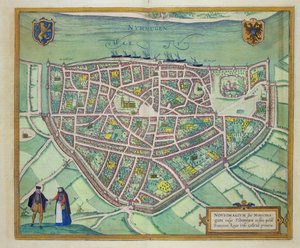
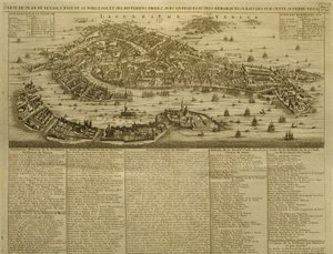
Map of Turkey, Arabia and Persia, after Guillaume de L Map of Frankfurt, from Map of Southern Italy, Corsica, and Sardinia known in Ancient Times as Great Greece or Magna Graecia, early 18th century Map of Rovigo, from “Les Villes de Venetie”, 1704, published by Pierre Mortier in Amsterdam Map of the City of New York as Laid Out by the Commissioners, 1814 Fol. 5v Map of Great Britain, Europe and North West Africa, from Portugaliae Monumenta Cartographica, an account of the discoveries of Fernão Gomes from 1470-75, 1563 Map of the Battle of Dresden, published by William Blackwood and Sons, Edinburgh and London, 1848 Map of Flanders, after cartographer Matthias Quad from his ’Fasciculus Geographicus’, later hand colouring Map of Sixteenth Century Europe, from the Map of Padua, from "Les Villes de Venétie", 1704, published by Pierre Mortier in Amsterdam Map of Westminster from ’Speculum Britannia’, 1593 Map of Nijmegen, from ’Civitates Orbis Terrarum’ by Georg Braun (1541-1622) and Frans Hogenberg (1535-90), c. 1572-1617 Map of Venice, published by H. Chatelain in Amsterdam, 1728 Hull, detail from the map of the North and East Ridings of Yorkshire, engraved by Jodocus Hondius (1563-1612) from John Speed’s ’Theatre of the Empire of Great Britain’, published by John Sudbury and Georg Fol. 54v Map of Florida, from “Cosmographie Universelle”, 1555
View More from "Cartography"

A selection of our top sellers

Luncheon of the Boating Party Lake Geneva with Mont Blanc in the Dawn Glow Circe Offering the Cup to Ulysses, 1891 The Bright House (1st Version) Landscape in the Riesengebirge Nymphs and Satyr The Artist Self-Portrait in a Fur Coat Path in the Wheat at Pourville, 1882 The Death of Socrates The White Woman and the Black Woman. 1913 The Red Pines, 1888 Painting from the Tomb of the Diver from the southern cemetery at Paestum, 480-470 BC Olive Trees in the Moreno Garden, 1884 The Origin of the World
Show more artworks


What our customers think about us


Frequently Asked Questions about Meisterdrucke


Personalizing your art print at Meisterdrucke is simple and intuitive: Choose a frame, set the image size, pick a printing medium, and add suitable glazing or a stretcher frame. We also offer additional customization options like mats, fillets, and spacers. If you have any questions, our customer service team is ready to help you create your perfect artwork.

At Meisterdrucke, you can visualize your configured artwork directly in your own room. Simply upload a photo of your space and see how the artwork looks in it. If you're visiting us on a mobile device — phone or tablet — our augmented reality feature brings the picture to life and projects it right into your room. A unique experience that combines art and technology.

Choosing the right medium is often a matter of personal taste. To give you a better idea, we've provided some images for each medium. We also offer a sample set of all paper variants, so you can decide not just visually but by touch as well. You can order the sample set free of charge — only shipping costs apply.

Don't worry! At Meisterdrucke, we don't just process orders mechanically. Every order is manually reviewed by our team. If we spot any inconsistencies or issues with your configuration, we'll get in touch with you right away. And of course, our friendly and patient support team is always here to help you with your configuration. We'll work with you by phone or email to adjust your image so the final result is exactly what you had in mind.


Still have questions?

Are you interested in an art print from our manufactory but still unsure? Do you need advice on choosing the medium or help with the order?

Our experts are happy to assist you.

+43 4257 29415
support@meisterdrucke.com

Mo-Do: 7:00 - 16:00 | Fr: 7:00 - 13:00

Still have questions?

Are you interested in an art print from our manufactory but still unsure? Do you need advice on choosing the medium or help with the order?

Our experts are happy to assist you.

+43 4257 29415
support@meisterdrucke.com
Mo-Do: 7:00 - 16:00 | Fr: 7:00 - 13:00


Meisterdrucke

   Kärntner Strasse 46
        9586 Finkenstein am Faaker See
        Austria
        +43 4257 29415
        support@meisterdrucke.com
Other languages

                   
Erfahrungen & Bewertungen zu Meisterdrucke
Post.at DHL Express Quehenberger Cargoboard
Kaiser Franz Joseph

Meisterdrucke
Kärntner Strasse 46
9586 Finkenstein am Faaker See · Austria
+43 4257 29415 · support@meisterdrucke.com
Post.at DHL Express Quehenberger Cargoboard


(c) 2026 meisterdrucke.uk