support@meisterdrucke.com  ·  0043 4257 29415

Deutsch English Italiano Español Français Nederlands Português Svenska Polski Dansk
Search by artist, work title or style – e.g. Monet, Starry Night, Impressionism, Hokusai wave, nude. Describe the scene – e.g. green meadow, abstract with lots of red, dark oil painting, standing nude next to a tree.

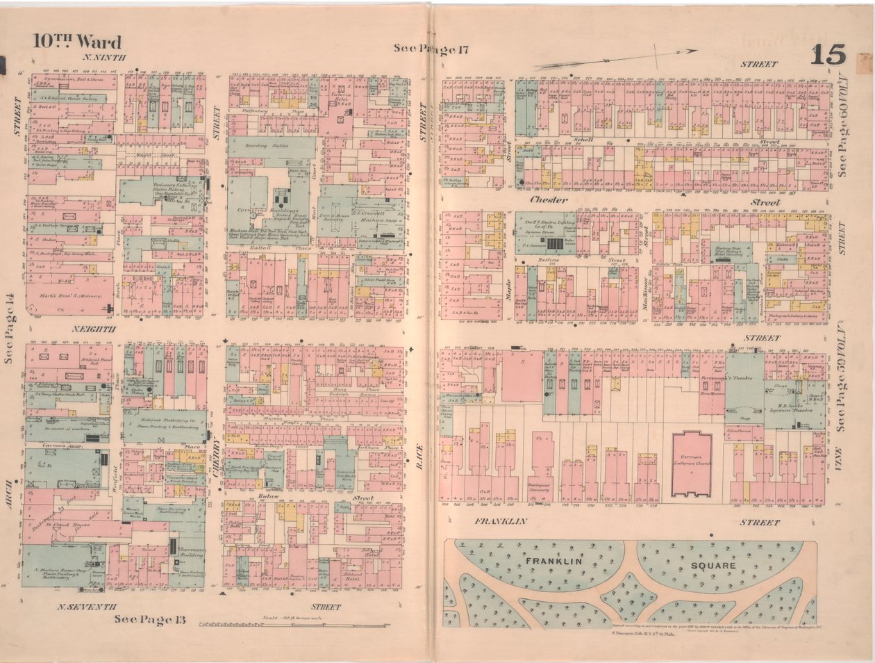
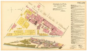
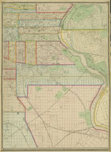
Insurance Map of the City of Philadelphia; volume 2, plate 15, 1887 by Ernest Hexamer

Insurance Map of the City of Philadelphia; volume 2, plate 15, 1887

(Insurance Map of the City of Philadelphia; volume 2, plate15, 1887 (hand-coloured engraving))


Ernest Hexamer

€ 125.55
Tax-free
   Configure art print
1887  ·  hand-coloured engraving  ·  Image ID: 263410

Nonclassified artists  ·  Cartography

Insurance Map of the City of Philadelphia; volume 2, plate 15, 1887 by Ernest Hexamer. Available as an art print on canvas, photo paper, watercolor board, natural paper, or Japanese paper.
insurance · survey · city · urban · town · philadelphia · mapping · cartography · pink · blue · yellow · grid · 10th ward · blocks · business · businesses · industry · economy · economic · development · Free Library of Philadelphia / Bridgeman Images
AR/3D   View in 3D / AR zu Favoriten hinzufügen   Add to favorites    Change wall color    View picture in a room
0 Reviews

Configure art print

Picture Frame

Medium & Stretcher

Glass & Passepartout

Miscellaneous & Extras

 Save / compare configuration
Preview Icon

Summary

Gemälde
Veredelung
Keilrahmen
Museumslizenz

€ 125.55
(inkl. 20% MwSt)
   Add to cart

Bildschärfe: PERFEKT

If you'd like us to adjust the brightness, colors, or crop the image, we're happy to do this for you at no extra cost. Just get in touch!

Similar artworks selected for you

Maps of the City of Philadelphia, volume 1, plate 2, 1860 Map of the Gold Coast Area Grays Ferry Chemical Works, Grays Ferry Rd. (north side) between Thirty-fourth St. and Thirty-sixth St., Hexamer General Surveys, 1888 October 1911. 27 Sheets Sanborn Fire Insurance Map from Spickard, Grundy County, Missouri Ground Plan of the Thirteen Markets in the City of New York, 1833 Sanborn Fire Insurance Map from Lansing, Ingham County, Michigan A Map of Manhattanville Situated on York Island Map of Philadelphia Lead Works, 1889 Plan of the Duke of Portland Plate 79 2 Drawings from The Plan of Chicago: Suggested Location and Arrangement Hexamer General Survey; Volume 25, Plate 2432-2433 Available also through the Library of Congress Web site as a raster image. Includes index. Stamped in black ink at upper left of title page Hannis Distilling Co. Astoria, Part of Long Island City, Town of Newtown, Queens, Co. L.I Plate 78: 2 Drawings from The Plan of Chicago, 1909: Suggested Location and Arrangement of the... Map of the city of New York, showing its political divisions and subdivisions Tabor St. and Olney Road, Hexamer General Surveys, 1894 Glossop Hexamer General Surveys, Volume 11, Plate 960 Map of the city of New York, made under the direction of the Commissioners of the Metropolitan Fire Department, showing the location of buildings in the possession and use of the Metropolitan Fire Department and of the Metropolitan Police Department Glossop Bound Print Providence Mill, Little Elk Creek, Maryland, Hexamer General Surveys Map of the City and County Environs of New York with Original Characters and Illustrations, 1850 Record Pulp Mill, Elkton, Maryland, Hexamer General Surveys, 1808 Map of the city of New York, showing its political divisions and subdivisions Guild Hall City of London Plan Plate 5, Map of the Whole Incorporated City of Philadelphia, 1867
Show more similar artworks

More art prints by Ernest Hexamer

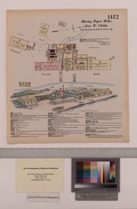
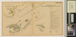
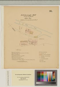
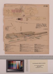
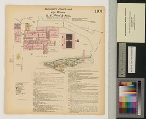
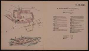
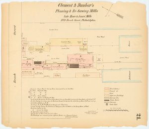
Insurance Map of the City of Philadelphia; volume 2, plate 15, 1887 Maps of the City of Philadelphia, volume 1, plate 2, 1860 Hexamer General Survey; Volume 25, Plate 2432-2433 R.W.L. Rasin & Co. Chemical Fertilizer Works, Baltimore, Maryland, Hexamer General Surveys Plan for Reading Iron Works, Scott Foundry, Pennsylvania, September 1875 Marley Paper Mills, Maryland, Hexamer General Surveys, 1880 Marley Mill, Little Elkton Creek, Maryland, Hexamer General Surveys, 1867 North East Mill and Shannon or Stone Chase Mill, Maryland, Hexamer General Surveys, 1880 Plan for Hillsborough Mill, Middletown Township, Delware, illustration from Grays Ferry Chemical Works, Grays Ferry Rd. (north side) between Thirty-fourth St. and Thirty-sixth St., Hexamer General Surveys, 1888 Schlosser Tannery, England and Bryan Tannery Station, Maryland, Hexamer General Surveys Manantico Bleach and Dye Works, Hexamer General Surveys, Volume 12, Plate 1101 H.B. Smith Machine Company Frankford Ave. and Wheatsheaf Lane, Hexamer General Surveys, 1895 Hexamer General Survey; volume 1, plate 21, 1866
Show more works by Ernest Hexamer

More motifs from the category Cartography

Map of Rostock, from ’Civitates Orbis Terrarum’ by Georg Braun (1541-1622) and Frans Hogenberg (1535-90), c. 1572-1617 The South Pole, detail from the ’Mappamonde à Projection Cordiforme’, 1531 Map of Fisk-Kill and the position of the French army in 1782, from “Guerre de l Map of the Paris to St. Germain Railway, by A. M. Perrot, 26th August 1837 Map of the Siege of San Sebastián, published by William Blackwood and Sons, Edinburgh and London, 1848 Map of the Operations which led to the Capitulation of Ulm, published by William Blackwood and Sons, Edinburgh and London, 1848 Map of China and Burma, 1851 Map of the Battle of Jena, published by William Blackwood and Sons, Edinburgh and London, 1848 Map of the Caribbean and Venezuela, from the Map of London, from “Civitates Orbis Terrarum”, by Georg Braun (1542-1622) and Frans Hogenburg (1635-90), c. 1572 Drawing for the map of the moon, 1794 Map of the Battle of Novi, published by William Blackwood and Sons, Edinburgh and London, 1848 Zodiac Calendar, from an Atlas of the World in 33 Maps, Venice, 1st September 1553 Map of Frankfurt, from Cartouche from a map of the Cevennes region, 1703
View More from "Cartography"

A selection of our top sellers

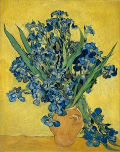
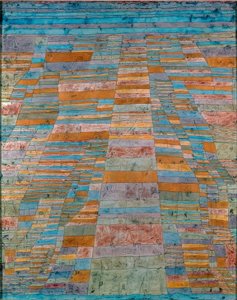
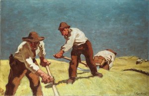
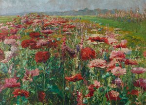
Bordighera, 1884 Irises Main and Side Paths Mountain farmers mowing Blooming Poppies Return of the Prodigal Son, 1773 Two Men Contemplating the Moon Ploughing in Nivernais, 1849 Supper at Emmaus Haboku Landscape The Yellow Books, 1887 The Chocolate Girl La Belle Chocolatière de Vienne, c. 1745 The Girls Meadows near Greifswald Himalayas
Show more artworks


What our customers think about us


Frequently Asked Questions about Meisterdrucke


Personalizing your art print at Meisterdrucke is simple and intuitive: Choose a frame, set the image size, pick a printing medium, and add suitable glazing or a stretcher frame. We also offer additional customization options like mats, fillets, and spacers. If you have any questions, our customer service team is ready to help you create your perfect artwork.

At Meisterdrucke, you can visualize your configured artwork directly in your own room. Simply upload a photo of your space and see how the artwork looks in it. If you're visiting us on a mobile device — phone or tablet — our augmented reality feature brings the picture to life and projects it right into your room. A unique experience that combines art and technology.

Choosing the right medium is often a matter of personal taste. To give you a better idea, we've provided some images for each medium. We also offer a sample set of all paper variants, so you can decide not just visually but by touch as well. You can order the sample set free of charge — only shipping costs apply.

Don't worry! At Meisterdrucke, we don't just process orders mechanically. Every order is manually reviewed by our team. If we spot any inconsistencies or issues with your configuration, we'll get in touch with you right away. And of course, our friendly and patient support team is always here to help you with your configuration. We'll work with you by phone or email to adjust your image so the final result is exactly what you had in mind.


Still have questions?

Are you interested in an art print from our manufactory but still unsure? Do you need advice on choosing the medium or help with the order?

Our experts are happy to assist you.

+43 4257 29415
support@meisterdrucke.com

Mo-Do: 7:00 - 16:00 | Fr: 7:00 - 13:00

Still have questions?

Are you interested in an art print from our manufactory but still unsure? Do you need advice on choosing the medium or help with the order?

Our experts are happy to assist you.

+43 4257 29415
support@meisterdrucke.com
Mo-Do: 7:00 - 16:00 | Fr: 7:00 - 13:00


Meisterdrucke

   Kärntner Strasse 46
        9586 Finkenstein am Faaker See
        Austria
        +43 4257 29415
        support@meisterdrucke.com
Other languages

                   
Erfahrungen & Bewertungen zu Meisterdrucke
Post.at DHL Express Quehenberger Cargoboard
Kaiser Franz Joseph

Meisterdrucke
Kärntner Strasse 46
9586 Finkenstein am Faaker See · Austria
+43 4257 29415 · support@meisterdrucke.com
Post.at DHL Express Quehenberger Cargoboard


(c) 2026 meisterdrucke.uk