support@meisterdrucke.com  ·  0043 4257 29415

Deutsch English Italiano Español Français Nederlands Português Svenska Polski Dansk
Search by artist, work title or style – e.g. Monet, Starry Night, Impressionism, Hokusai wave, nude. Describe the scene – e.g. green meadow, abstract with lots of red, dark oil painting, standing nude next to a tree.

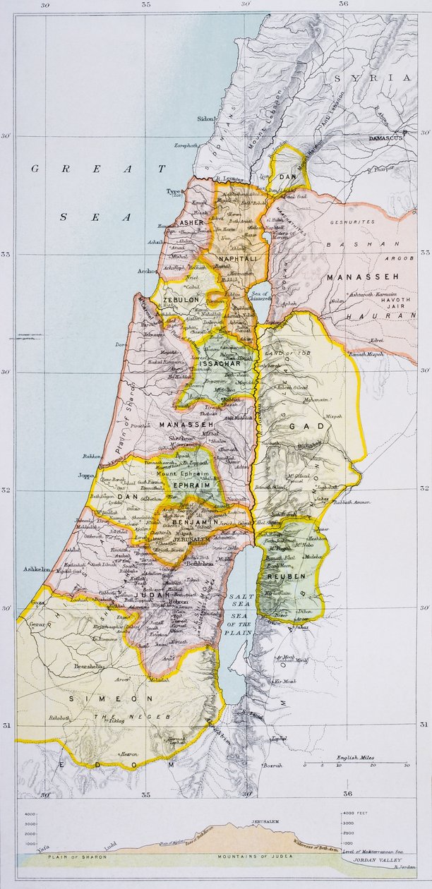
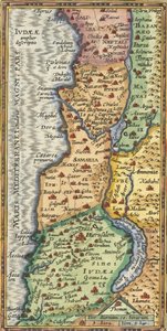
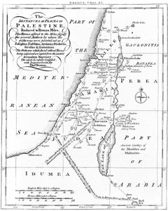
Ancient Palestine, from 'The Citizen's Atlas of the World' by English School

Ancient Palestine, from 'The Citizen's Atlas of the World'

(Ancient Palestine, from 'The Citizen's Atlas of the World', published in London, c.1899 )


English School

€ 107.11
Tax-free
   Configure art print
Undated  ·  colour lithograph  ·  Image ID: 62803

Cultural Circles

Ancient Palestine, from 'The Citizen's Atlas of the World' by English School. Available as an art print on canvas, photo paper, watercolor board, natural paper, or Japanese paper.
cartography · great sea · manassah · naphtali · benjamin · zebulon · asher · issachar · ephraim · judah · reuben · simeon · great sea · twelve tribes · boundaries · division · divisions · territory · Levant · Private Collection / Bridgeman Images
AR/3D   View in 3D / AR zu Favoriten hinzufügen   Add to favorites    Change wall color    View picture in a room
0 Reviews

Configure art print

Picture Frame

Medium & Stretcher

Glass & Passepartout

Miscellaneous & Extras

 Save / compare configuration
Preview Icon

Summary

Gemälde
Veredelung
Keilrahmen
Museumslizenz

€ 107.11
(inkl. 20% MwSt)
   Add to cart

Bildschärfe: PERFEKT

If you'd like us to adjust the brightness, colors, or crop the image, we're happy to do this for you at no extra cost. Just get in touch!

Similar artworks selected for you

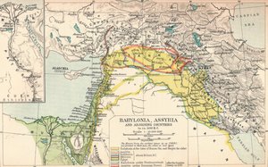
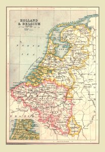
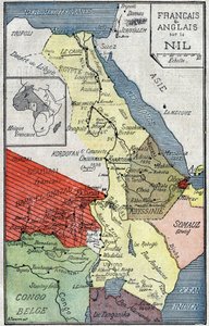
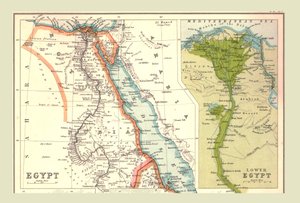
Palestine in the 1890s, from Map of Palestine, Ancient and Modern, 1902 Map of Palestine, Showing Division into Tribes, 1902 Canaan as it was divided between the twelve tribes of Israel Canaan, or Palestine at the Time of the New Testament The Kingdoms of Judah and Israel Map of Palestine, Palestina Antiqua, from Samuel Butler Map of Canaan, or Palestine, published by A. K. Johnstone Partial Map of the Middle East in the 1890s, from "The Citizen Babylonia, Assyria and Adjoining Countries, c1902 Map of Holland and Belgium, 1902 Map of African territories colonized by French and English along the Nile. Illustration in Le Pelerin of October 2 Map of Egypt, 1902 Map of East Africa, First World War, c1920 Map of Turkey, the Middle East, the Horn of Africa and the Persian Gulf in the 1890s, from Palestine State Proposal Map of Korea, 1903 Map by Eratosthenes, Greek astronomer and geographer of the 3rd century BC. 220 BC Partial Map of Middle East in the 1890s, from “The Citizen Feudal France at the time of the accession of Hugues Capet in 987, map illustrated in a Histoire de France, c. 1880 Map of Punjab, Sind, Rajputana and Kashmir Map of Scotland in 1290, from Map of Syria, Mesopotamia, Assyria etc., from Butler Map of the Gallipoli Peninsula, 1919 Map of German South West Africa, First World War, c. 1920. 1624 Detail Map of the Holy Land Poland, Lithuania, Belarus, South-West Russia, West Ukraine, North Moldova, Slovakia Map of Palestine Map of Palestine Based on Ancient Authors, c. 1830
Show more similar artworks

More art prints by English School

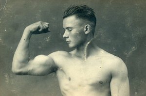
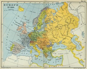
Church and Cottage with Lighted Windows Portrait of a bodybuilder, c. 1898 The Portrait of King Richard III Kidbrooke Park, Kent, formerly attributed to George Lambert (1700-65) c.1740-50 Map of Europe in 1910 Portrait of the Greek philosopher Socrates (469-399 BC) - From the series “Leaders of Men” - Chromolithography - English School, 20th century Map of Ireland from ’The History of Ireland’ by Thomas Wright, published c.1854 Poster advertising ‘A Midsummer Night Map of the world with possessions of the British Empire coloured red, c. 1870 Detailed Map of Gallipoli Peninsula and the Dardanelles, Turkey, 1915, from Venice, 1338, after a manuscript in the Bodleian Library, from Winston Churchill on horseback in Bangalore, India in 1897, from ’A Roving Commission by Winston S. Churchill’, published by Scribner’s, 1930 Romeo buys poison from the apothecary, illustration from Romeo and Juliet, from "The Illustrated Library Shakespeare", published in London 1890 Ms 26 fol. 7r. Psalm 1, David harping, from the Ramsey Abbey Psalter, c. 1380
Show more works by English School

A selection of our top sellers

The Eruption of the Soufrière Mountains on the Island of St. Vincent, 30th April 1812, 1815 Horse Study Shooting Stars (Franz and Mary von Stuck) Colorful in the triangle Sweet Peas (Lathyrus odoratus), engraved by Langlois, from Choix des Plus Belles Fleurs, 1827-33 Death and Life, c. 1911 Tondal Lowlands Isle of the Dead Portrait of the Philosopher and Esotericist Rudolf Steiner Ejiri in Suruga Province The Annunciation, 1474-75 Judith with the Head of Holofernes The Potato Eaters, 1885 Monkey in a Persimmon Tree, 1935
Show more artworks


What our customers think about us


Frequently Asked Questions about Meisterdrucke


Personalizing your art print at Meisterdrucke is simple and intuitive: Choose a frame, set the image size, pick a printing medium, and add suitable glazing or a stretcher frame. We also offer additional customization options like mats, fillets, and spacers. If you have any questions, our customer service team is ready to help you create your perfect artwork.

At Meisterdrucke, you can visualize your configured artwork directly in your own room. Simply upload a photo of your space and see how the artwork looks in it. If you're visiting us on a mobile device — phone or tablet — our augmented reality feature brings the picture to life and projects it right into your room. A unique experience that combines art and technology.

Choosing the right medium is often a matter of personal taste. To give you a better idea, we've provided some images for each medium. We also offer a sample set of all paper variants, so you can decide not just visually but by touch as well. You can order the sample set free of charge — only shipping costs apply.

Don't worry! At Meisterdrucke, we don't just process orders mechanically. Every order is manually reviewed by our team. If we spot any inconsistencies or issues with your configuration, we'll get in touch with you right away. And of course, our friendly and patient support team is always here to help you with your configuration. We'll work with you by phone or email to adjust your image so the final result is exactly what you had in mind.


Still have questions?

Are you interested in an art print from our manufactory but still unsure? Do you need advice on choosing the medium or help with the order?

Our experts are happy to assist you.

+43 4257 29415
support@meisterdrucke.com

Mo-Do: 7:00 - 16:00 | Fr: 7:00 - 13:00

Still have questions?

Are you interested in an art print from our manufactory but still unsure? Do you need advice on choosing the medium or help with the order?

Our experts are happy to assist you.

+43 4257 29415
support@meisterdrucke.com
Mo-Do: 7:00 - 16:00 | Fr: 7:00 - 13:00


Meisterdrucke

   Kärntner Strasse 46
        9586 Finkenstein am Faaker See
        Austria
        +43 4257 29415
        support@meisterdrucke.com
Other languages

                   
Erfahrungen & Bewertungen zu Meisterdrucke
Post.at DHL Express Quehenberger Cargoboard
Kaiser Franz Joseph

Meisterdrucke
Kärntner Strasse 46
9586 Finkenstein am Faaker See · Austria
+43 4257 29415 · support@meisterdrucke.com
Post.at DHL Express Quehenberger Cargoboard


(c) 2026 meisterdrucke.uk