support@meisterdrucke.com  ·  0043 4257 29415

Deutsch English Italiano Español Français Nederlands Português Svenska Polski Dansk
Search by artist, work title or style – e.g. Monet, Starry Night, Impressionism, Hokusai wave, nude. Describe the scene – e.g. green meadow, abstract with lots of red, dark oil painting, standing nude next to a tree.

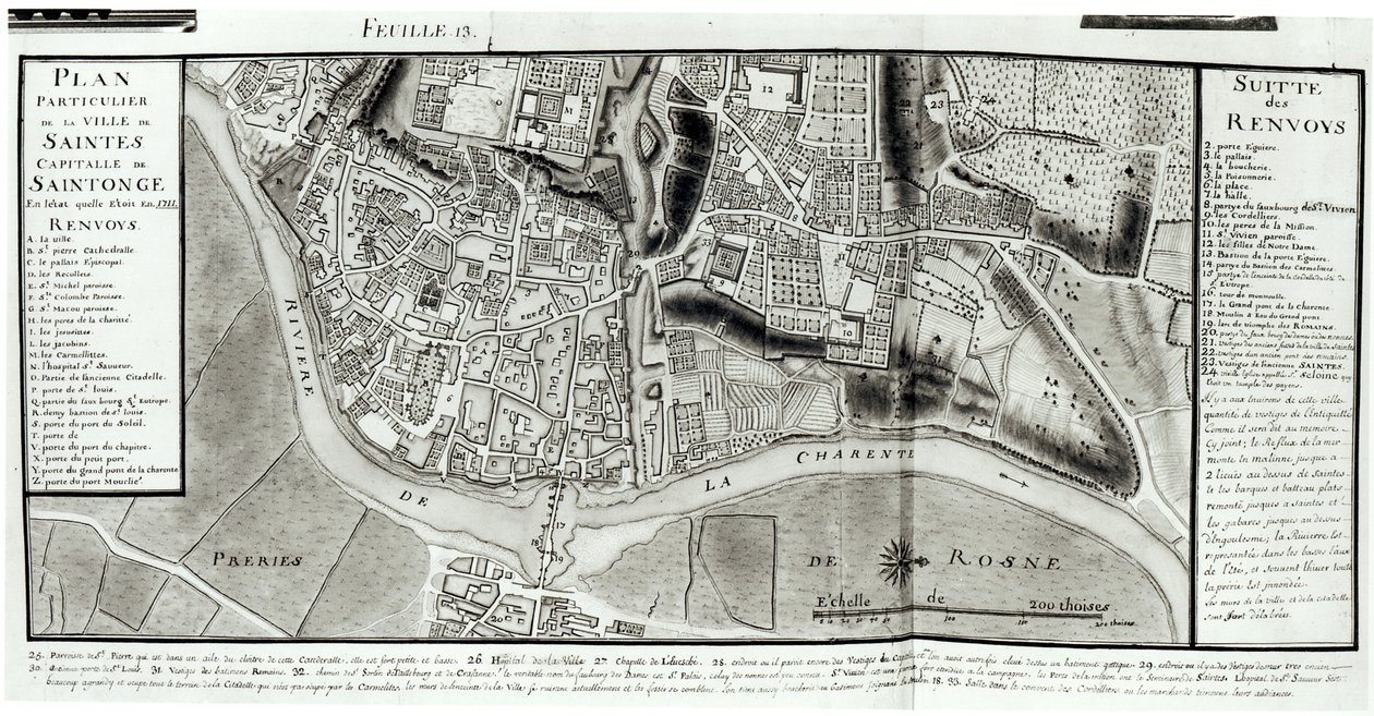
Atlas 131 fol. 13, Map of Saintes, capital of Saintonge, from 'Recueil des Plans de Saintonge', 1711 by Claude Masse

Atlas 131 fol. 13, Map of Saintes, capital of Saintonge, from 'Recueil des Plans de Saintonge', 1711

(Atlas 131 fol.13 Map of Saintes, capital of Saintonge, from 'Recueil des Plans de Saintonge', 1711 (pen und ink and wc on paper) )


Claude Masse

€ 110.49
Tax-free
   Configure art print
1711  ·  pen & ink and watercolour on paper  ·  Image ID: 41384

Nonclassified artists  ·  Cartography

Atlas 131 fol. 13, Map of Saintes, capital of Saintonge, from 'Recueil des Plans de Saintonge', 1711 by Claude Masse. Available as an art print on canvas, photo paper, watercolor board, natural paper, or Japanese paper.
charente river · aerial view · fields · drawing · province of western france · region · plan · irrigation · streets · Min. Defense - Service Historique de l'Armee de Terre,France / Bridgeman Images
AR/3D   View in 3D / AR zu Favoriten hinzufügen   Add to favorites    Change wall color    View picture in a room
0 Reviews

Configure art print

Picture Frame

Medium & Stretcher

Glass & Passepartout

Miscellaneous & Extras

 Save / compare configuration
Preview Icon

Summary

Gemälde
Veredelung
Keilrahmen
Museumslizenz

€ 110.49
(inkl. 20% MwSt)
   Add to cart

Bildschärfe: PERFEKT

If you'd like us to adjust the brightness, colors, or crop the image, we're happy to do this for you at no extra cost. Just get in touch!

Similar artworks selected for you

Fol. 105: Map of the town of Tonnay-Boutonne, from Recueil des Plans de Saintonge Plan of Richmond, Syon and Kew Nuova pianta di Roma by Giambattista Nolli, 1748, known as La Pianta Grande di Roma Atlas 131 F, fol. 8: Map of Saintes, capital of Saintonge, from Receuil des Plans de Saintonge, 1716 Plan of the Cities of London and Westminster and Borough of Southwark, Engraved by John Tinney, Published 1746 Map of Rome. Lower right part Hollar Loggan A Map of The King Map of Berlin and Cölln, 1652 Siege of Menen, 1706 Fol. 99 Map of Saint-Savinien on the Charente River in 1713, from Interactive Viewer Siege of Bonn, 1703 A map of the City and Suburbs of Cork Promenades or Itineraries of the Gardens of Chantilly Siege of Mons, 1709 Siege of Kaiserswerth, 1702 Plan of the City of Kaiserswerth A Map of Bloomsbury and Holborn, London, 1746 Turin, Italy Map of the City of Florence Mainz Plan Part of Bernard Ratzer New plan of Rome, published by Giambattista Nolli in the year MDCCXLVII, known as La Pianta Grande di Roma Map of Dusseldorf, 1797 Siege of Béthune, 1710 Loggan Bristol in 1670, 1903 Plan of Paris under Henri III (1580) - Engraving in
Show more similar artworks

More art prints by Claude Masse

Fol. 99 Map of Saint-Savinien on the Charente River in 1713, from Atlas 131 F fol. 2, Map of Bas-Poitou, Pays d Atlas 131 H. Fol. 72, Plan of Noirmoutier-en-l’Île, c. 1700 Fol. 97: Plan of the Château de Forgette, near Saint-Savinien, from „Recueil des Plans de Saintonge“ Fol. 105: Map of the town of Tonnay-Boutonne, from Recueil des Plans de Saintonge Atlas 131 H.fol. 71, Map of part of Bas-Poitou and the Île de Noirmoutier, 1703 Atlas 131 H f.1, Map of Bas-Poitou, Pays d Fort of Saint-Sauveur, Lille, in 1728, from “Traité de Fortifications” Atlas 131 H f.42 Map of Bas Poitou, Aunis and Saintonge with the marshes of the Bay of Aiguillon in 1716 Atlas 131 F, fol. 84, plan of Chapus Fort, from Traité de Fortifications Atlas 131 F, fol. 8: Map of Saintes, capital of Saintonge, from Receuil des Plans de Saintonge, 1716 Atlas 131 fol. 13, Map of Saintes, capital of Saintonge, from Map of the town of Lille, from “Atlas et Histoire de Lille” Cross-section and profile drawing of the Tour de Ganne at Tonnay Boutonne, from Recueil des Plans de Saintonge Map of the towns and chateaux situated along the Charente River in 1714, from Recueil des Plans de Saintonge
Show more works by Claude Masse

More motifs from the category Cartography

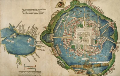
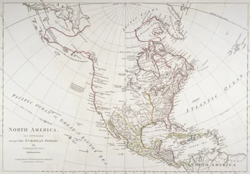
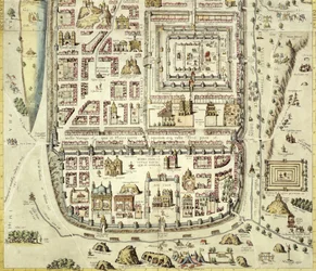
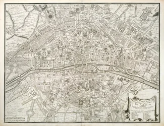
Map of the Western Mediterranean Map of the Sainte-Geneviève area, Paris, 1756 Map of animals in North America Map of Turkey, the Middle East, the Horn of Africa and the Persian Gulf in the 1890s, from Map showing the world trade shipping routes, cartography by Pierre Duval (1619-83), published in 1686, Paris Map of Tenochtitlan and the Gulf of Mexico, from Praeclara Ferdinadi Cortesii de Nova maris Oceani Hyspania Narratio by Hernando Cortés (1485-1547), 1524 Nova Scotia and Newfoundland, from a series of world maps published by John Tallis and Co., New York and London, in the 1850s World Map detailing the Expeditions and Global Circumnavigation of Sir Francis Drake (c. 1540-96), 1577-1580 Map depicting North America as divided by the European powers, 1774 Map of Jerusalem and the surrounding area, from Map of Paris, from the Atlas de Paris by Jean de la Caille, 1714 Map of the Siege of Mantua, published by William Blackwood and Sons, Edinburgh and London, 1848 Map of Northern Europe Cyprus, Renaissance map of Europe, after Jacopo Russo, 1528 Europe and Central Asia, from an Atlas of the World in 33 Maps, Venice, 1st September 1553
View More from "Cartography"

A selection of our top sellers

Suigin Grove and Masaki, on the Sumida River, from The Ascent into the Heavenly Paradise Bauhaus Stairway, 1932 Composition No. VII, 1913 Philosophy A Tower of Blue Horses, 1913 Red Tree Moonlight over Lake Lucerne before the backdrop of Lady Godiva Circe Invidiosa, 1892 The Terrace, Annecy Schubert at the Piano Wintry Full Moon Landscape Song of the Angels, 1881 Spruce Thicket in Snow
Show more artworks


What our customers think about us


Frequently Asked Questions about Meisterdrucke


Personalizing your art print at Meisterdrucke is simple and intuitive: Choose a frame, set the image size, pick a printing medium, and add suitable glazing or a stretcher frame. We also offer additional customization options like mats, fillets, and spacers. If you have any questions, our customer service team is ready to help you create your perfect artwork.

At Meisterdrucke, you can visualize your configured artwork directly in your own room. Simply upload a photo of your space and see how the artwork looks in it. If you're visiting us on a mobile device — phone or tablet — our augmented reality feature brings the picture to life and projects it right into your room. A unique experience that combines art and technology.

Choosing the right medium is often a matter of personal taste. To give you a better idea, we've provided some images for each medium. We also offer a sample set of all paper variants, so you can decide not just visually but by touch as well. You can order the sample set free of charge — only shipping costs apply.

Don't worry! At Meisterdrucke, we don't just process orders mechanically. Every order is manually reviewed by our team. If we spot any inconsistencies or issues with your configuration, we'll get in touch with you right away. And of course, our friendly and patient support team is always here to help you with your configuration. We'll work with you by phone or email to adjust your image so the final result is exactly what you had in mind.


Still have questions?

Are you interested in an art print from our manufactory but still unsure? Do you need advice on choosing the medium or help with the order?

Our experts are happy to assist you.

+43 4257 29415
support@meisterdrucke.com

Mo-Do: 7:00 - 16:00 | Fr: 7:00 - 13:00

Still have questions?

Are you interested in an art print from our manufactory but still unsure? Do you need advice on choosing the medium or help with the order?

Our experts are happy to assist you.

+43 4257 29415
support@meisterdrucke.com
Mo-Do: 7:00 - 16:00 | Fr: 7:00 - 13:00


Meisterdrucke

   Kärntner Strasse 46
        9586 Finkenstein am Faaker See
        Austria
        +43 4257 29415
        support@meisterdrucke.com
Other languages

                   
Erfahrungen & Bewertungen zu Meisterdrucke
Post.at DHL Express Quehenberger Cargoboard
Kaiser Franz Joseph

Meisterdrucke
Kärntner Strasse 46
9586 Finkenstein am Faaker See · Austria
+43 4257 29415 · support@meisterdrucke.com
Post.at DHL Express Quehenberger Cargoboard


(c) 2026 meisterdrucke.uk