support@meisterdrucke.com  ·  0043 4257 29415

Deutsch English Italiano Español Français Nederlands Português Svenska Polski Dansk
Search by artist, work title or style – e.g. Monet, Starry Night, Impressionism, Hokusai wave, nude. Describe the scene – e.g. green meadow, abstract with lots of red, dark oil painting, standing nude next to a tree.

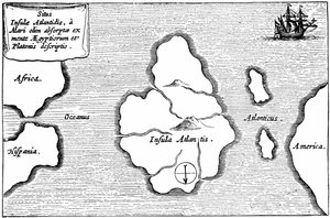
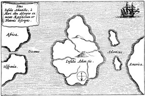
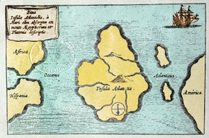
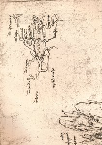
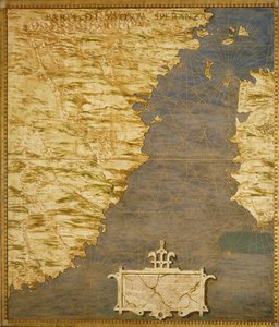
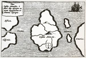
Map of Atlantis, from 'Mundus Subterraneus', 1665-68 by Athanasius Kircher

Map of Atlantis, from 'Mundus Subterraneus', 1665-68

(Map of Atlantis, from 'Mundus Subterraneus', 1665-68 )


Athanasius Kircher

€ 134.56
Tax-free
   Configure art print
1668  ·  engraving  ·  Image ID: 103405

Nonclassified artists  ·  Cartography

Map of Atlantis, from 'Mundus Subterraneus', 1665-68 by Athanasius Kircher. Available as an art print on canvas, photo paper, watercolor board, natural paper, or Japanese paper.
carte datlantide · atlantide · subterranean city · underwater · island · atlantic ocean · lost · disappeared · legendary · Bibliotheque Nationale, Paris, France / Bridgeman Images
AR/3D   View in 3D / AR zu Favoriten hinzufügen   Add to favorites    Change wall color    View picture in a room
Note: Only reviews with comments are displayed. Reviews can be submitted directly after purchase in your customer account.

Configure art print

Picture Frame

Medium & Stretcher

Glass & Passepartout

Miscellaneous & Extras

 Save / compare configuration
Preview Icon

Summary

Gemälde
Veredelung
Keilrahmen
Museumslizenz

€ 134.56
(inkl. 20% MwSt)
   Add to cart

Bildschärfe: PERFEKT

If you'd like us to adjust the brightness, colors, or crop the image, we're happy to do this for you at no extra cost. Just get in touch!

Similar artworks selected for you

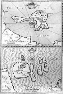
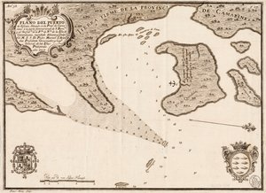
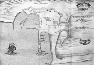
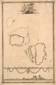
Map of Atlantis, from Map of Atlantis, from Legendary Island of Atlantis Map of the Legendary Island of Atlantis - from Athanase Kircher Easter Island, from Travel Atlas by James Cook Plan Showing the Strait of Constantinople (now the Strait of Bosphorus) - in Map showing location of the Houyhnhnms Land from first edition of Gulliver Maps of Holy Island and Farne Island, Northumberland, from South China Sea Plan of Rhodes (Rodos) - in South China Sea Title Vignette and Prospect for Map of Christiansø Island Elba with Piombino, Italy Map including Massachusetts Bay St. George Description of Isla Escudo de Veraguas by Francis Drake Port of St. Louis, Thebes Turtle Island and Santo Domingo from a 17th century map by Pierre Vandier 1646 Map of the Western Mediterranean and Gibraltar by Robert Dudley Nautical Chart of the Gulf of Riga, Cartography Map No. 6 showing the route of the Armada fleet, engraved by Augustine Ryther, 1588 Map of the Island of Zante, a Venetian Stronghold Against the Turks The Capture of Cádiz in 1596 Bristol Channel Thebes Chart of Negroponte Sketch Map of Armenia The Harbour of Cape Cod, from Voyages de Sieur Champlain by Samuel de Champlain, Published in Paris, 1613
Show more similar artworks

More art prints by Athanasius Kircher

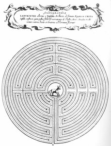
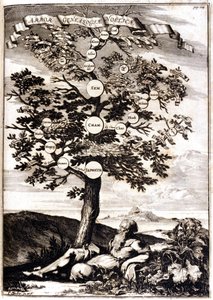
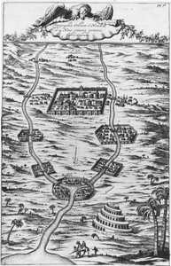
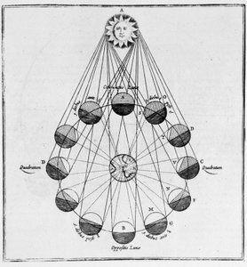
Map of Atlantis, from A camera obscura (magic lantern) projects the image of a man burning in hell - Magic lantern. Father Kircher The Tower of Babel, 1679 Ars magna lucis et umbrae, 1646 Jesuit Johann Adam Schall von Bell (1591-1666), predecessor of Ferdinand Verbiest, astronomer at the court of the Ming Dynasty in Nanjing, wearing Mandarin costume, from China monumentis Labyrinth of Daedalus to enclose the Minotaur - in “Turris Babel” by Athanasi Kircheri S.J., Amsterdam Genealogical tree of Noah after Athanasius Kircher, Turris Babel, Rome 1675, Milan Burning mirrors of Archimedes, engraving from Ars magna lucis et umbrae (great art of light and shadow), by Athanasius Kircher (1602-1680), Rome The Harmony of the Birth of the World - Harmonia Nascentis Mundi from Musurgia Universalis Mesopotamia, the Tigris and Euphrates - in ”Turris Babel”, by Athanasius Kircher S.J., Amsterdam Surface of the Sun showing sunspots, illustration from ’Mundus Subterraneus’, published in Amsterdam 1664-5 The Sun, the Earth and the Movements of the Moon - in The Tower of Babel. Reconstruction by Athanasius Kircher in his work “Turris Babel” concerning this tower and the history of early humanity. The maze of Knossos designed by Daedalus - In the centre is the Minotaur - ’Turris Babel’ by Athanasius Kircher - Amsterdam Cross-section of the earth showing the central fire, fires and volcanoes, from a copper engraving of Athanase Kircher
Show more works by Athanasius Kircher

More motifs from the category Cartography

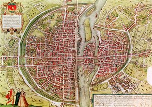
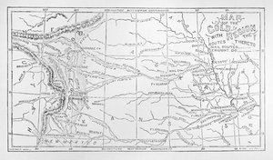
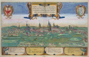
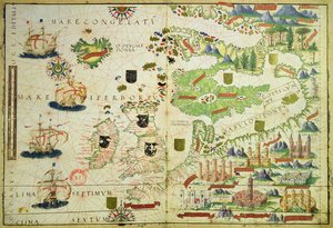
Zodiac Calendar, from an Atlas of the World in 33 Maps, Venice, 1st September 1553 Map of the Cape of Good Hope Map of the world, based on descriptions and coordinates given in Map of Herefordshire, 1695 Map of Laputa, Balnibari, Luggnagg, Glubbdubdrib and Japan, illustration from the first edition of Map of Paris from „Civitates orbis terrarum“ by Georg Braun (1541-1622) and Franz Hogenberg (1540-92), French, 1572-1617 Map of countries first discovered by Christopher Columbus (1451-1506), 1500 Map of the Battle of Marengo, published by William Blackwood and Sons, Edinburgh and London, 1848 Map of the Caribbean, 1715 Map of England and Wales, 1644 Map of South America, 1777 Map of the Gold Region, Published in The Weekly Map of Scotland, c.1700 Map of Lublin, from ’Civitates Orbis Terrarum’ by Georg Braun (1541-1622) and Frans Hogenberg (1535-90), c. 1572-1617 Map of Europe, from a facsimile of the ‘Miller Atlas’ by Pedro and Jorge Reinel, and Lopo Homem, made in 1519
View More from "Cartography"

A selection of our top sellers

Comrades, 1924 The Meurthe Boating Party Village Landscape in Morning Light Venus and Mars The Entrance to the Grand Canal, Venice The Taking of Christ The Sin, 1899 Lensing Galaxy Cluster (Webb The Apparition Madonna and Child with Two Angels The Cactus Lover Two Men Contemplating the Moon Olive Trees with Yellow Sky and Sun Joan of Arc, 1865 Raven on a Birch Tree
Show more artworks


What our customers think about us


Frequently Asked Questions about Meisterdrucke


Personalizing your art print at Meisterdrucke is simple and intuitive: Choose a frame, set the image size, pick a printing medium, and add suitable glazing or a stretcher frame. We also offer additional customization options like mats, fillets, and spacers. If you have any questions, our customer service team is ready to help you create your perfect artwork.

At Meisterdrucke, you can visualize your configured artwork directly in your own room. Simply upload a photo of your space and see how the artwork looks in it. If you're visiting us on a mobile device — phone or tablet — our augmented reality feature brings the picture to life and projects it right into your room. A unique experience that combines art and technology.

Choosing the right medium is often a matter of personal taste. To give you a better idea, we've provided some images for each medium. We also offer a sample set of all paper variants, so you can decide not just visually but by touch as well. You can order the sample set free of charge — only shipping costs apply.

Don't worry! At Meisterdrucke, we don't just process orders mechanically. Every order is manually reviewed by our team. If we spot any inconsistencies or issues with your configuration, we'll get in touch with you right away. And of course, our friendly and patient support team is always here to help you with your configuration. We'll work with you by phone or email to adjust your image so the final result is exactly what you had in mind.


Still have questions?

Are you interested in an art print from our manufactory but still unsure? Do you need advice on choosing the medium or help with the order?

Our experts are happy to assist you.

+43 4257 29415
support@meisterdrucke.com

Mo-Do: 7:00 - 16:00 | Fr: 7:00 - 13:00

Still have questions?

Are you interested in an art print from our manufactory but still unsure? Do you need advice on choosing the medium or help with the order?

Our experts are happy to assist you.

+43 4257 29415
support@meisterdrucke.com
Mo-Do: 7:00 - 16:00 | Fr: 7:00 - 13:00


Meisterdrucke

   Kärntner Strasse 46
        9586 Finkenstein am Faaker See
        Austria
        +43 4257 29415
        support@meisterdrucke.com
Other languages

                   
Erfahrungen & Bewertungen zu Meisterdrucke
Post.at DHL Express Quehenberger Cargoboard
Kaiser Franz Joseph

Meisterdrucke
Kärntner Strasse 46
9586 Finkenstein am Faaker See · Austria
+43 4257 29415 · support@meisterdrucke.com
Post.at DHL Express Quehenberger Cargoboard


(c) 2026 meisterdrucke.uk