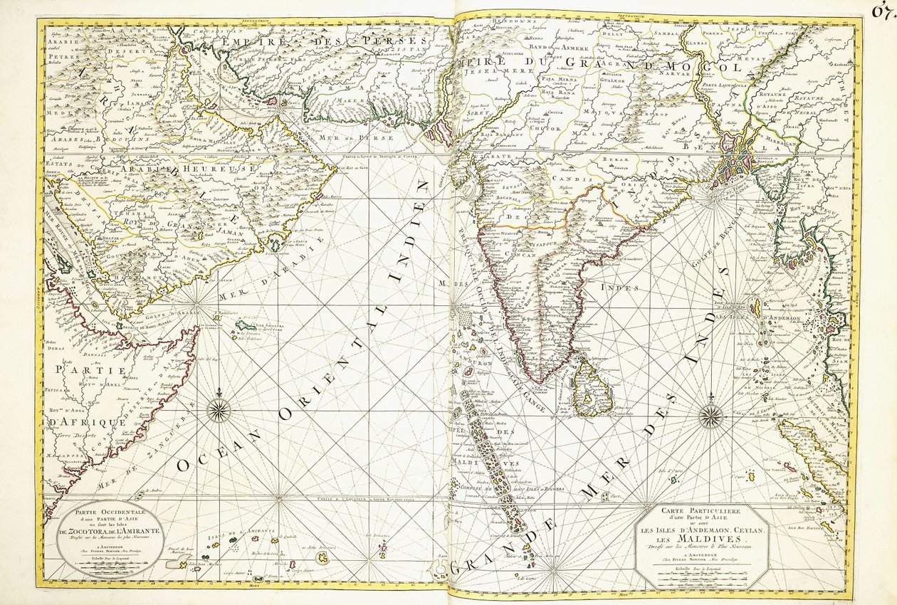
Map of Africa, Arabia and India by Alexis Hubert Jaillot

Map of Africa, Arabia and India


Alexis Hubert Jaillot

€ 126.18
Enthält 0% MwSt.
   Configure art print
1695  ·  hand-coloured engraving  ·  Picture ID: 832941

Nonclassified artists

Map of Africa, Arabia and India by Alexis Hubert Jaillot. Available as an art print on canvas, photo paper, watercolor board, uncoated paper or Japanese paper.
artist french · close-up · double page · early 18th century · hand coloured · profession · no person · arabia · print · hand-tinted · late seventeenth century · asia · close up · hand coloring · french text · navigational equipment · french art · africa · eighteenth century · lettering · closeup · 18th century · color · hand colored · european artist · no-one · word · french artist · hand-colored · text · occupation · artist-french · early eighteenth century · leaf · prints · handcoloured · sr sanson · leaves · geographic · seventeenth century · artist european · alexis-hubert jaillot · 17th century · geography · india · double-page · page · 1690s · nobody · 1700s · hand-colouring · no people · writing · hand-coloured · handcolored · cartographer · late 17th century · engraved · engraving · colour · language · hand colouring · atlas · jaillot · navigation · Private Collection / Bridgeman Images
AR/3D   View in 3D / AR zu Favoriten hinzufügen   Add to favorites    Select wall color    View painting in a room
0 Reviews

Configure art print

Picture Frame

Medium & Stretcher

Glass & Passepartout

Miscellaneous & Extras

 Save / compare configuration
Preview Icon

Summary

Gemälde
Veredelung
Keilrahmen
Museumslizenz

€ 126.18
(inkl. 20% MwSt)
   Add to cart

Bildschärfe: PERFEKT

Should you desire adjustments to brightness and color, or a custom crop of the motif, we are happy to make these changes at no additional cost to you. Please do not hesitate to contact us.

Similar artworks selected for you

Unknown Image Mouth of the Loire Chart of the seas and straits showing the possibility of a North-West Passage between Hudson Bay and the South Sea Relief Shown by Hachures and Pictorially Map of Africa Map of the Sea of Denmark Map of East India (South and Southeast Asia: Pakistan, India, Nepal, Bangladesh, Burma, Sri Lanka, Thailand, Malaysia, Vietnam, Cambodia, Laos, Philippines, Singapore and Indonesia) Southern India and Ceylon, from East Indies, from Map of East Africa and Asia A Map of East Africa, Arabia and India Map of the New Discoveries to the North of the South Seas, 1750 Afbeeldinge der - Produced in Amsterdam Puglia, Calabria and Basilicata, Italy (engraving) Map of Indonesia Hudson Bay, Land of Labrador and Greenland, engraving by G. Zuliani from Map of the Isle of Bute Map of the Kingdom of Dalmatia, on the coast of the Gulf of Venice (Adriatic Sea) Chart of the Western Map of the Americas Wyre to Black Combe, from General Map Including Arabia, Japan, the Korean Peninsula and the Greater Part of the Indonesian Archipelago, 1631 Geography: map of the East Indies of Frederick de Witt (active around 1650) 17th century Paris, B.N. Sea Chart East of India Map showing the Gulf of Mexico, Carte reduite du golphe de Mexique et des isles de l A Chart of the East Coast of Scotland from a Sea-Atlas Containing an Hydrographical Description of Most of the Sea-Coasts of the Known Parts of the World by Samuel Thornton, 1707 (hand coloured print) Southern India and Sri Lanka Map of India and the East Indies World Map and a General Description of the Globe, Engraving by G. Zuliani from the Newest Atlas
Show more similar artworks

Other art prints by Alexis Hubert Jaillot

Map of Africa, Arabia and India Map of White Russia or Muscovy World Map Map of Bavaria World Map The world, by A.H. Jaillot in North of World Chart of the English Coast, Isle of Wight and Portsmouth Harbour 1692 Map of the Turkish Empire in Europe, Asia and Africa Center of Italy - by A 1692 Map of the Turkish Empire in Europe 1699 Map of the World The Surroundings of Paris for the Use of Monseigneur the Duke of Burgundy 1692 Map of Asia 1691 Map of the World
Discover more works by Alexis Hubert Jaillot

Excerpt from our top sellers

The Sleeping Gypsy Quince, Cabbage, Melon, and Cucumber, c.1602 Pink Peach Trees (Souvenir of Mauve) Sunny Path The Plague Comes The Fighting Temeraire Silent Night The Geographer Reclining Semi-Nude (Masturbating) Sower at Sunset Nymphs and Satyr The Great Wave off the Coast of Kanagawa, c1829-c1831 Reduced Weight The Annunciation, c.1438-45 Mother of the World
Show More Artworks


What our customers think about us


Frequently Asked Questions about Meisterdrucke


Personalizing your art print at Meisterdrucke is a simple and intuitive process that allows you to design an artwork exactly to your specifications: Choose a frame, determine the image size, decide on a printing medium, and add suitable glazing or a stretcher frame. We also offer customization options such as mats, fillets, and spacers. Our customer service is available to help you design your perfect artwork.

At Meisterdrucke, you have the fascinating option to visualize the artwork you configured directly in your own space. For a tailored preview, simply upload a photo of your room and let the artwork appear on it. If you visit us via a mobile device, be it a phone or tablet, our augmented reality feature brings the image to life and seamlessly projects it into your space. An experience that uniquely combines art and technology.

Choosing the medium is often a matter of personal taste. To give you a clearer idea, we have provided some images for each medium. For a holistic experience, we also offer you a sample set of all paper variants so you can make a decision not just visually but also haptically. You can take advantage of the sample set free of charge – only the shipping costs will apply. You can order the sample set directly.

Do not worry. At Meisterdrucke, we do not proceed mechanically. We manually review each order. If there are any inconsistencies or peculiarities in the configuration, we will immediately contact you. Of course, our courteous and patient support is always at your side to assist you with the configuration. Together with you, we adjust your image by phone or email so that the final result exactly meets your expectations.


Do you have any questions?

Are you interested in an art print from our manufactory but still unsure? Do you need advice on choosing the medium or help with the order?

Our experts are happy to assist you.

+43 4257 29415
support@meisterdrucke.com
Mo-Do: 7:00 - 16:00 | Fr: 7:00 - 13:00

Do you have any questions?

Are you interested in an art print from our manufactory but still unsure? Do you need advice on choosing the medium or help with the order?

Our experts are happy to assist you.

+43 4257 29415
support@meisterdrucke.com
Mo-Do: 7:00 - 16:00 | Fr: 7:00 - 13:00


Meisterdrucke

   Kärntner Strasse 46
        9586 Finkenstein am Faaker See
        Austria
        +43 4257 29415
        support@meisterdrucke.com
Other languages

                   
Erfahrungen & Bewertungen zu Meisterdrucke
Post.at DHL Express Quehenberger Cargoboard
Kaiser Franz Joseph

Meisterdrucke
Kärntner Strasse 46
9586 Finkenstein am Faaker See · Austria
+43 4257 29415 · office@meisterdrucke.com
Post.at DHL Express Quehenberger Cargoboard


Meisterdrucke 2705 Bewertungen auf ProvenExpert.com

(c) 2025 meisterdrucke.uk